Test result
Evaluated by Skiresort.info, the world's largest test portal for ski resorts.
The evaluation is done as follows
Orientation (Trail map, information boards, sign-postings) and safety in the ski resort Hempelsberg/Geiersberg – Oberwarmensteinach
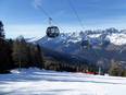
Trail map and overview maps
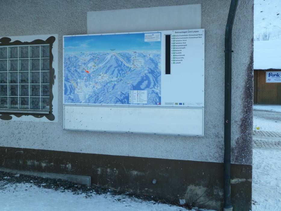
A piste map of the Ochsenkopf region is displayed at the valley station of the Hempelsberglift.
Information boards and sign-postings on the slopes
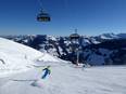
Since the ski area is small, orientation is generally quite easy. However, there is hardly any signage, and for example, the second run at the Hempelsberglift is barely noticeable.
Trail map

Ochsenkopfregion & Oberwarmensteinach/Hempelsberg-Geiersberg Season 2025/2026
Top Orientation


2 strengths of this ski resort


Feedback for the Skiresort.info Team? Please use this form
Select specific criteria
Top evaluation criteria
Further evaluation criteria
Orientation (trail map, information boards, sign-postings)
Evaluation criteria for special interests
Feedback for the Skiresort.info Team? Please use this form
Book this ski resort
Test Reports
Tips for the ski holiday