Ski resorts Austria


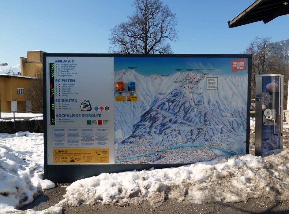
Orientation (Trail map, information boards, sign-postings) Nordkette – Innsbruck

Evaluated by Skiresort.info, the world's largest test portal for ski resorts.
The evaluation is done as follows
Orientation and safety in the ski resort Nordkette – Innsbruck
Trail map and overview maps
All slopes and lifts are indicated on the Nordkette trail map. Parking lots, restaurants and elevations are also included.
Information boards and sign-postings on the slopes
There are extensive information boards at all stations and a video screen informs about current lift and slopes statuses. All slopes and ski routes are marked. There is also plenty of freeriding space and they provide information about the dangers involved.
Trail map

Nordkette – Innsbruck Season 2023/2024


Feedback for the Skiresort.info Team? Please use this form »

Select specific criteria
Top evaluation criteria
Further evaluation criteria
Orientation (trail map, information boards, sign-postings)
Evaluation criteria for special interests
Feedback for the Skiresort.info Team? Please use this form »
Book this ski resort
Test Reports


Tips for the ski holiday

