Route planner
Access & on-site parking
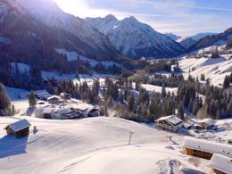
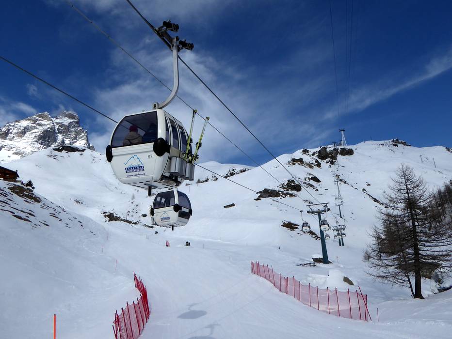
Access to the ski area is either via Zermatt (Switzerland) or via Breuil-Cervinia or Valtournenche (Italy).
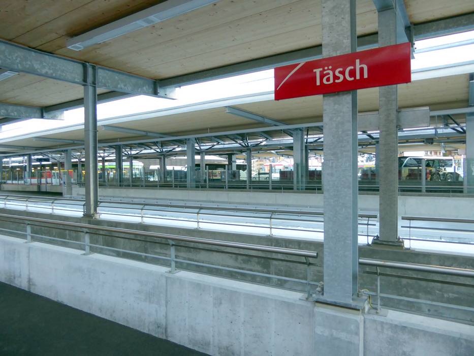
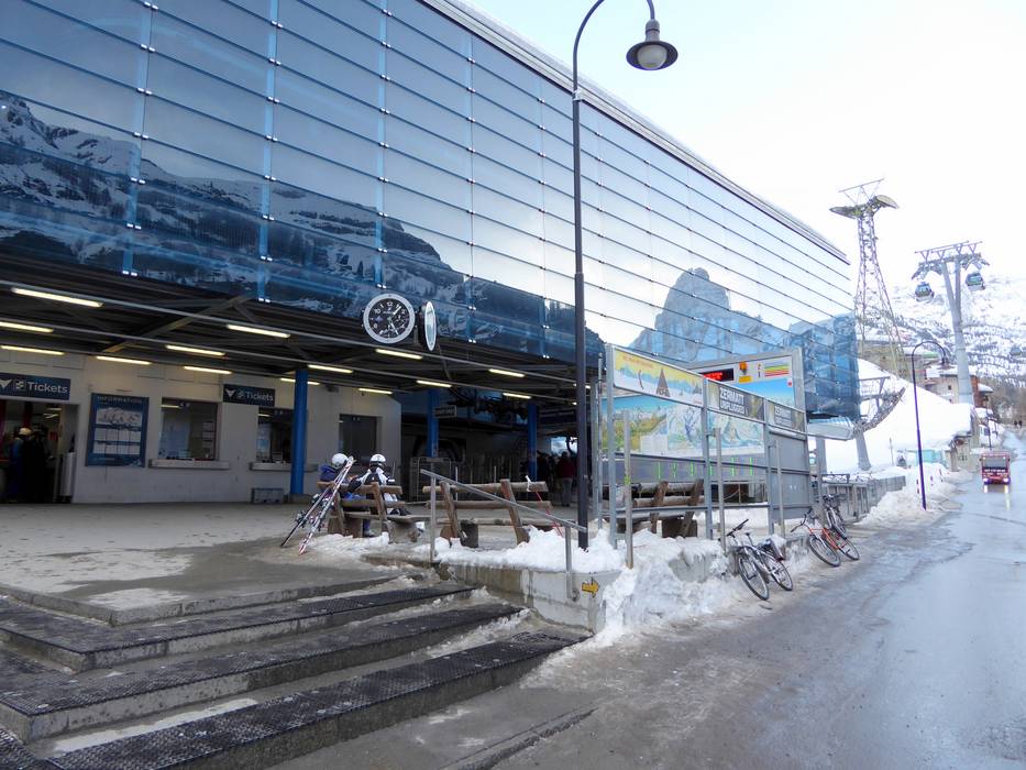
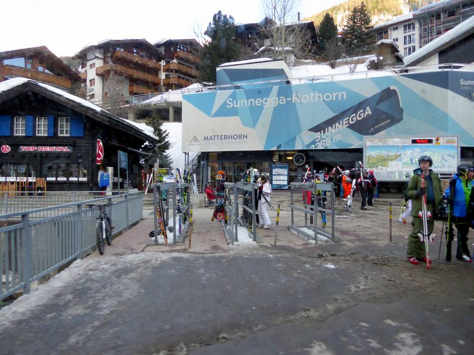
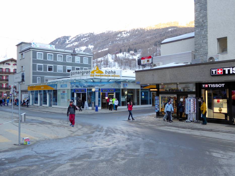
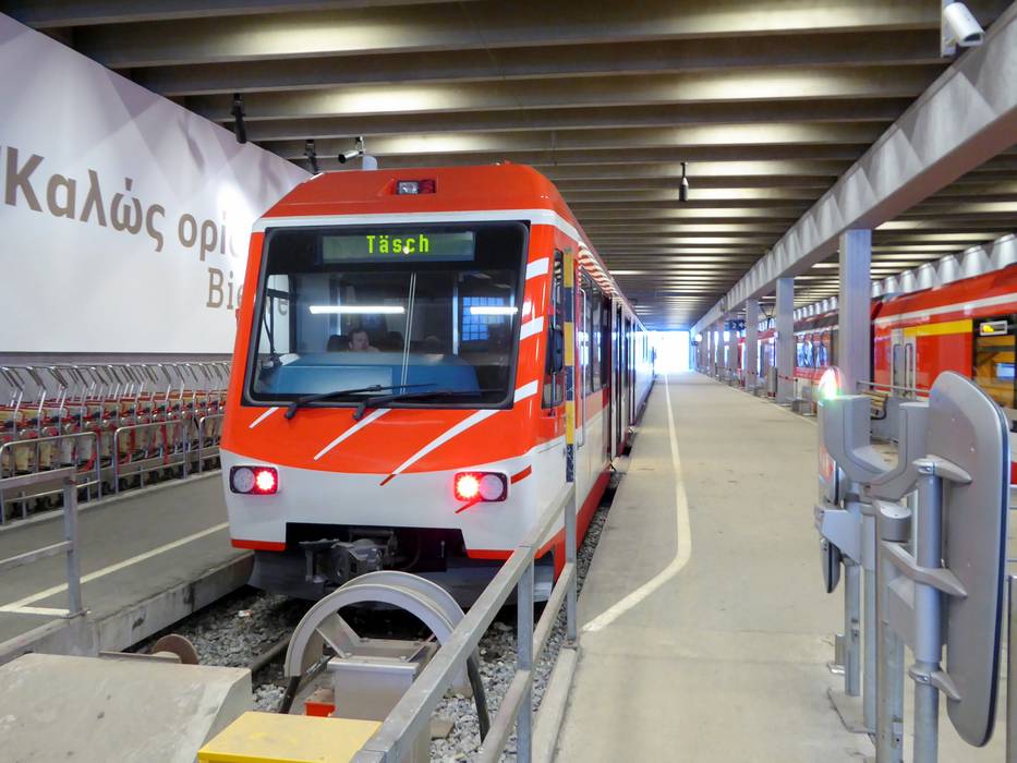
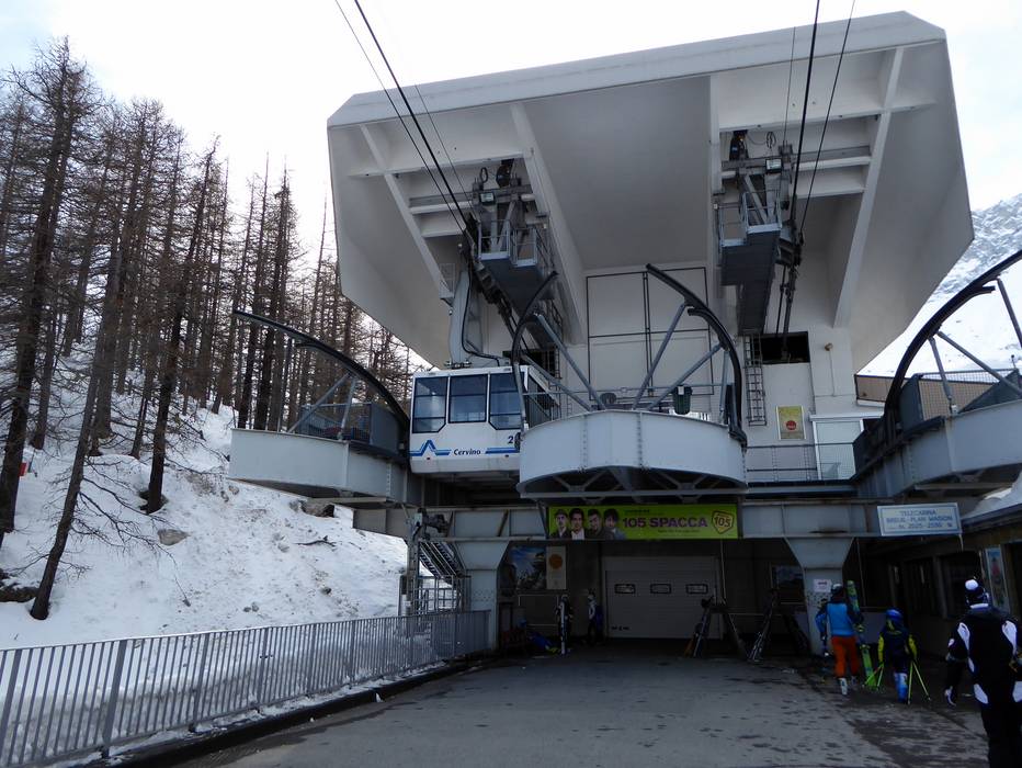
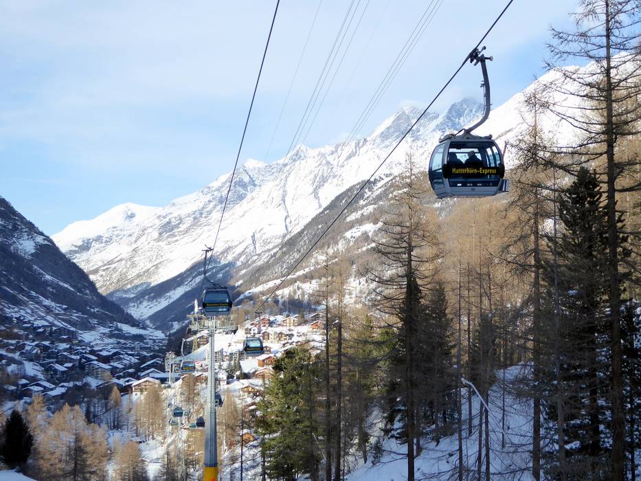
Zermatt is located in the canton of Valais in the southwest of Switzerland. Access to Zermatt is only possible by train, as the village is car-free. You park in Täsch in the paid parking garage (2,100 spaces) and transfer to the train. The parking garage now offers 131 parking spaces with e-charging stations (Swiss record in a public parking garage and guidance system with green/red lights indicating free/occupied). Modern shuttle trains run every 20 minutes to Zermatt. The journey takes 12 minutes. At the train station in Zermatt, you will be picked up by your accommodation provider or hotel with electric vehicles and taken directly to your accommodation.
By car, you can reach Täsch from several directions. However, you always drive through the valley from Visp to Täsch, unless you already board the train in Visp.
From Germany: Drive via Basel–Bern–Thun–Kandersteg (car train Lötschberg)–Goppenstein–Visp or via Zurich–towards Gotthard–car train Furka (Realp–Oberwald)–continue through the Goms region towards Visp.
From Western Switzerland: Drive on the A9 from Lake Geneva towards Visp.
From Milan/Italy: Drive over the Simplon Pass, which is open all year, or take the car train Brig–Iselle to Visp.
It is also possible to travel to Zermatt by helicopter. The heliport in Zermatt is operated by Air Zermatt.
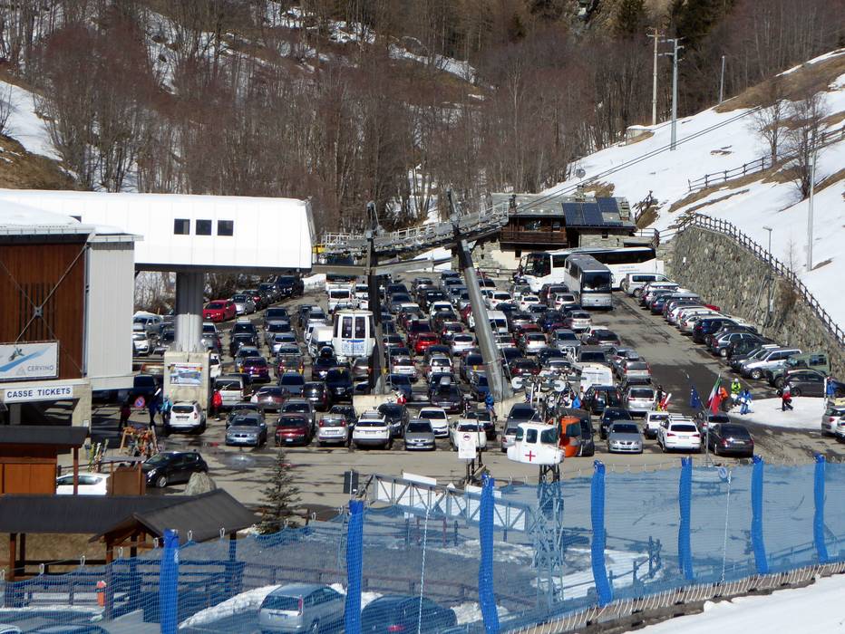
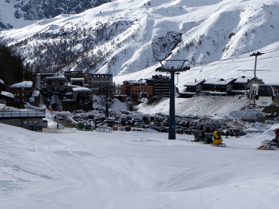
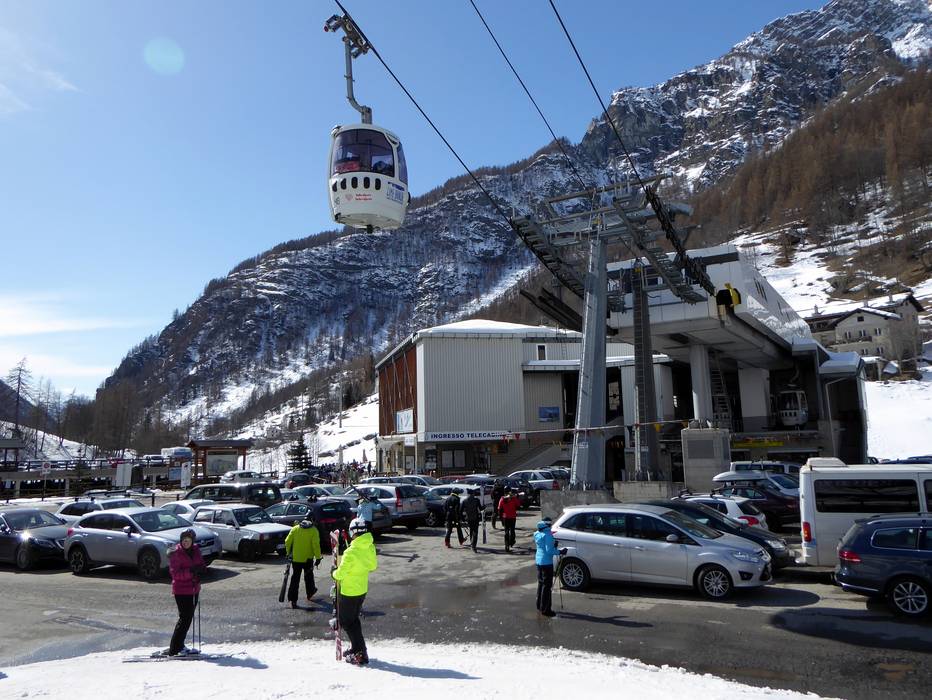
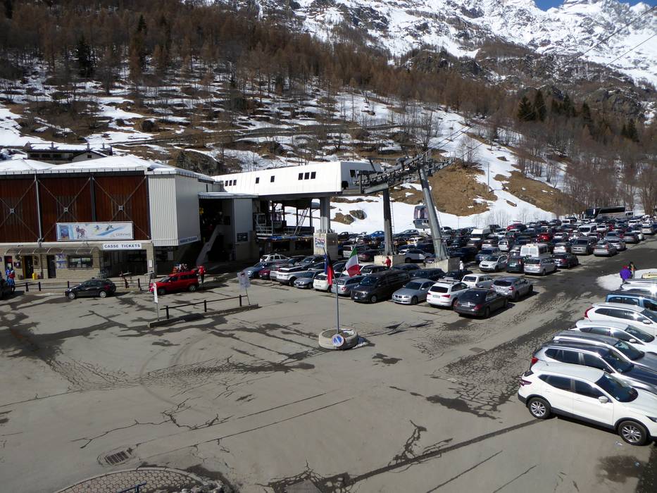
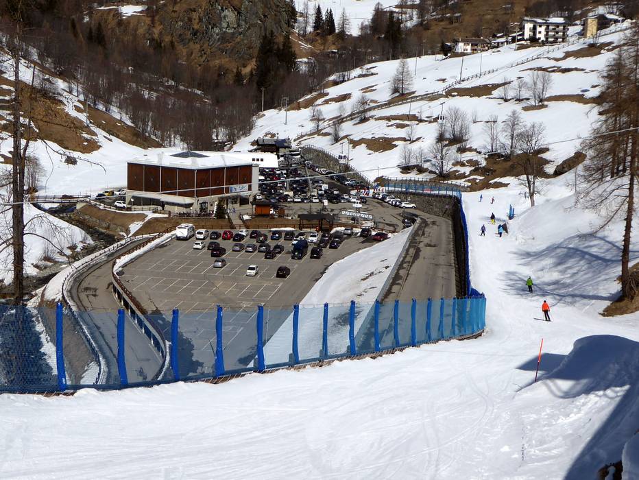
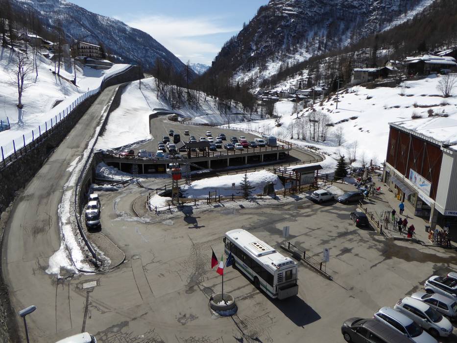
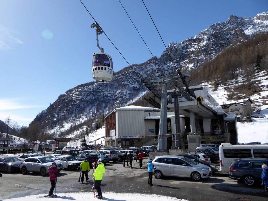
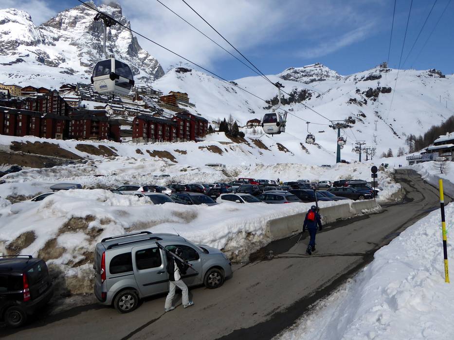
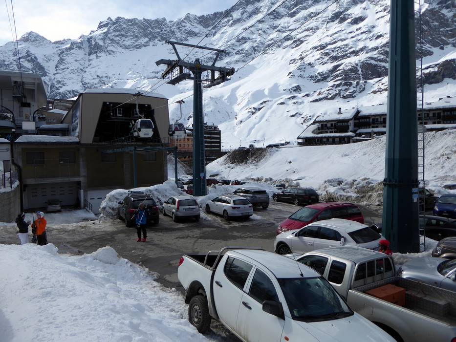
Breuil-Cervinia and Valtournenche are located in the Aosta Valley in the northwest of Italy. From the A5 Turin-Aosta motorway, take the Châtillon/Saint-Vincent exit, and a mountain road leads via Valtournenche (21 km away) to Breuil-Cervinia (29 km away). Breuil-Cervinia is situated at 2,050 m.
Winter Closure
The Furka Pass and Oberalp Pass are closed for winter. Access from the north and west is possible via the Furka car shuttle (Realp–Oberwald) or Lötschberg.
Access via
Mobility on-site
- Comprehensive ski bus network
- Scheduled buses
- In Zermatt, electric buses and electric taxis operate.
Access via A9 Autoroute du Rhône, end of the motorway at Sierre
56 km Distance - approx. 59 Minutes driving time
Destination - Terminal Täsch MGB (Matterhorn-Gotthard-Bahn)
- Bahnhofstrasse, 3929 Täsch, Switzerland
- Ideal entry for day visitors
- View on Google Maps
Parking spaces - enough available, covered car park
- for a fee
- There are 2,100 parking spaces available in the parking garage.
Roads - Main street, Mountain road, well-developed, with significant incline
- Snow chains sometimes required by snowfall
- Road closure due to avalanches sometimes possible
Show route Access via Motorway A5 Turin-Aosta, exit Châtillon/Saint-Vincent
21 km Distance - approx. 31 Minutes driving time
Destination Parking spaces - usually enough available, covered car park, tarmac car park, gravel car park
- free of charge
Roads - Side road, Mountain road, well-developed, with significant incline
- Snow chains sometimes required by snowfall
Show route
29 km Distance - approx. 43 Minutes driving time
Destination Parking spaces - usually enough available, tarmac car park, gravel car park
- for a fee
Roads - Side road, Mountain road, well-developed, with significant incline
- Snow chains sometimes required by snowfall
Show route More Entry point(s) to the ski resort
Destination Parking spaces
Destination Parking spaces
Destination Parking spaces

Access to ski resort

Town/village close to ski resort

Traffic Junction
All information is supplied without guarantee
The maps are provided by Google with the following information: „These directions are for planning purposes only. You may find that construction projects, traffic, weather, or other events may cause conditions to differ from the map results, and you should plan your route accordingly. You must obey all signs or notices regarding your route.“
Please wait and do not close window. File will be transmitted.
