Ski resorts Italy
Route planner
Access & on-site parking
The ski resort can be reached from Turin via the A32 motorway, taking the Oulx exit. From France, you can get here via the A43 motorway and pass through the Fréjus Tunnel (toll required). Alternatively, from the southwest, take the A51 to Tallard and then continue via Briançon on the country road. Depending on your destination, there are alternative routes. Pragelato and Sestrière can also be reached from Pinerolo via a mountain road in about 1 hour. Montgenèvre and Clavière can be reached from Grenoble via the Col du Lautaret (pass height over 2000 m). Between the individual locations, there are some high-altitude mountain roads and passes where snow chains are mandatory. Some parking areas require a fee.Access via
- A32 motorway Turin-Bardonecchia, Oulx junction
7 km approx. 14 min » - A55 Autostrada del Pinerolese, Pinerolo junction
61 km approx. 70 min » - A 51, Autoroute du Val de Durance, Tallard interchange
106 km approx. 98 min » - A480 Grenoble, exit 8, Le Pont de Claix
118 km approx. 125 min »
Mobility on-site
- Small ski bus offering
- Scheduled buses
- In the French section, in the village of Montgenèvre, there is a ski bus network as well as shuttle buses to Briançon and Oulx. There are also regular bus services. From Turin, there are paid shuttle buses.
Access via A32 motorway Turin-Bardonecchia, Oulx junction
7 km Distance - approx. 14 Minutes driving time
Destination - Via Clotes, 10050 Sauze d'Oulx, Italy
- View on Google Maps
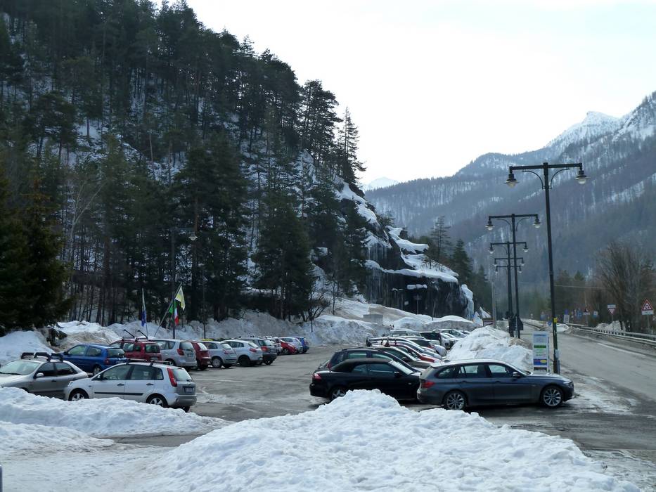
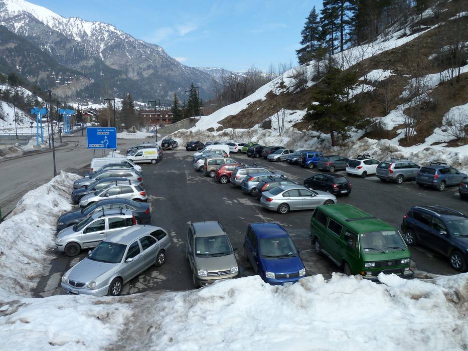
- limited amount available, tarmac car park, gravel car park
- Mountain road, partially developed, with significant incline
- Snow chains required very often by snowfall
- Road closure due to avalanches sometimes possible
12 km Distance - approx. 14 Minutes driving time
Destination - Viale 4 Novembre, 10054 Cesana Torinese, Italy
- Ideal entry for day visitors
- View on Google Maps
- enough available, tarmac car park
- free of charge
- Main street, well-developed
- Snow chains almost never required by snowfall
- Road closure due to avalanches unlikely
21 km Distance - approx. 27 Minutes driving time
Destination - Rue des Montagnards, 05100 Montgenèvre, France
- Entry suitable for day visitors
- View on Google Maps
- usually enough available, tarmac car park
- for a fee
- Main street, Mountain pass road, with significant incline
- Snow chains required very often by snowfall
- Road closure due to avalanches often possible
23 km Distance - approx. 28 Minutes driving time
Destination - Via Vincenzo Possetto, 10058 Sestrière, Italy
- Ideal entry for day visitors
- View on Google Maps
- usually enough available, tarmac car park
- Main street, Mountain pass road, partially developed, with significant incline
- Snow chains required very often by snowfall
- Road closure due to avalanches sometimes possible
Access via A55 Autostrada del Pinerolese, Pinerolo junction
61 km Distance - approx. 70 Minutes driving time
Destination - Via Vincenzo Possetto, 10058 Sestrière, Italy
- Ideal entry for day visitors
- View on Google Maps
- usually enough available, tarmac car park
- Mountain pass road, partially developed, with significant incline
- Snow chains required very often by snowfall
- Road closure due to avalanches often possible
Access via A 51, Autoroute du Val de Durance, Tallard interchange
106 km Distance - approx. 98 Minutes driving time
Destination - Rue des Montagnards, 05100 Montgenèvre, France
- Entry suitable for day visitors
- View on Google Maps
- usually enough available, tarmac car park
- for a fee
- Main street, Side road, Mountain pass road, well-developed, with significant incline
- Snow chains sometimes required by snowfall
- Road closure due to avalanches unlikely
Access via A480 Grenoble, exit 8, Le Pont de Claix
118 km Distance - approx. 125 Minutes driving time
Destination - Rue des Montagnards, 05100 Montgenèvre, France
- Entry suitable for day visitors
- View on Google Maps
- usually enough available, tarmac car park
- for a fee
- Mountain pass road, partially developed, with significant incline
- Snow chains required very often by snowfall
- Road closure due to avalanches very often possible
More Entry point(s) to the ski resort
Destination
- Strada Provinciale 215, 10058 Sestrière, Italy
- Entry suitable for day visitors
- View on Google Maps
- usually enough available, tarmac car park
Destination
- Via del Colle, 10058 Sestriere, Italy
- View on Google Maps
Destination
- Via del Monte Bacchetta, 10060 Pattemouche, Italy
- View on Google Maps
- limited amount available, gravel car park
- for a fee
Destination
- Frazione San Sicario Alto, 10054 Cesana Torinese, Italy
- Entry suitable for day visitors
- View on Google Maps
- usually enough available, gravel car park
- free of charge
Destination
- Strada Lungo Dora, 10050 Claviere, Italy
- Entry suitable for day visitors
- View on Google Maps
- limited amount available, tarmac car park
Destination
- Place de l'Obelisque, 05100 Montgenèvre, France
- View on Google Maps
Destination
- N94, 05100 Montgenèvre, France
- View on Google Maps
Destination
- Rte d'Italie, 05100 Montgenèvre, France
- View on Google Maps
Destination
- Strada Provinciale 214, 10050 Sauze d'Oulx, Italy
- View on Google Maps
Destination
- Via Prarion, 10050 Sauze d'Oulx, Italy
- View on Google Maps
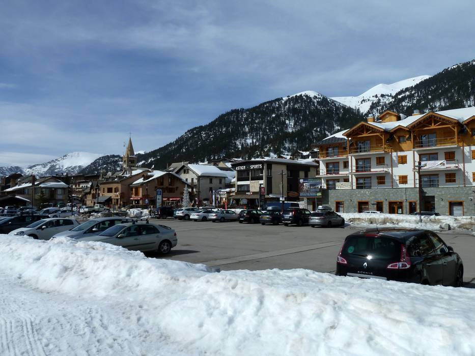
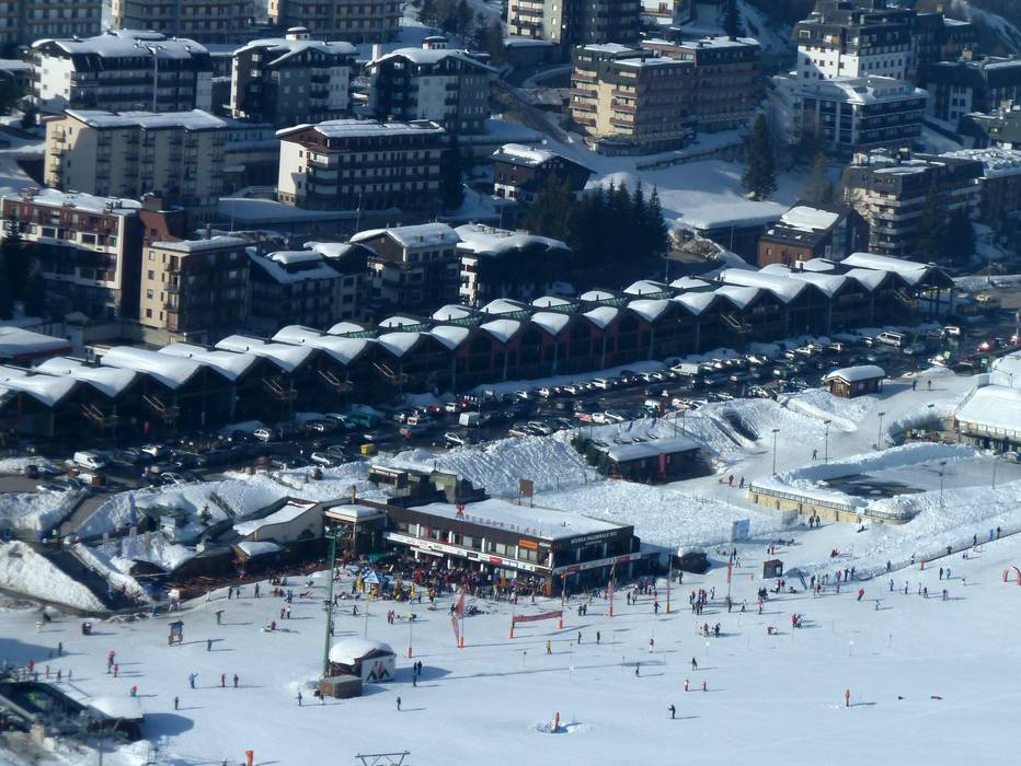
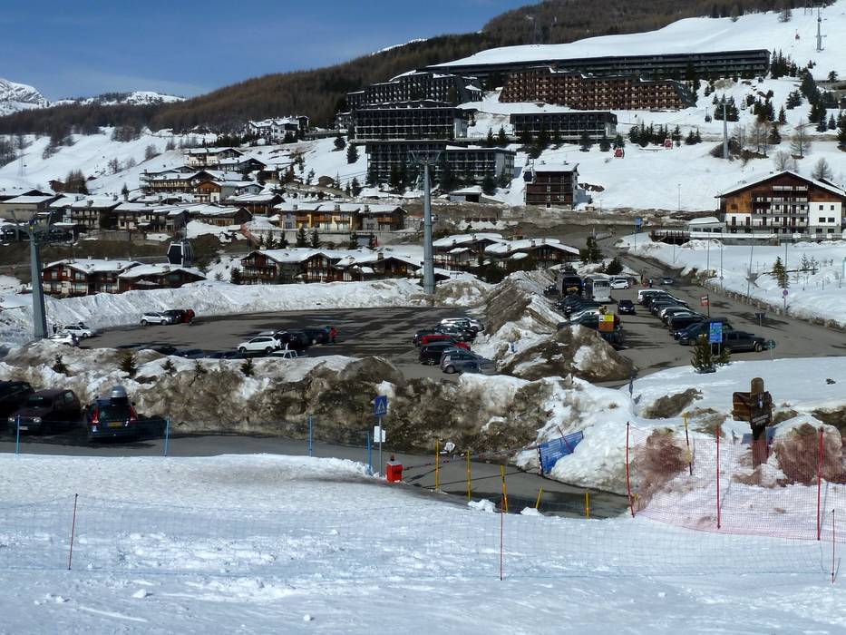
Access to ski resort
Town/village close to ski resort
Traffic Junction All information is supplied without guarantee
The maps are provided by Google with the following information: „These directions are for planning purposes only. You may find that construction projects, traffic, weather, or other events may cause conditions to differ from the map results, and you should plan your route accordingly. You must obey all signs or notices regarding your route.“
Feedback for the Skiresort.info Team? Please use this form
Book this ski resort
Tips for the ski holiday
