

Evaluated by Skiresort.info, the world's largest test portal for ski resorts.
The evaluation is done as follows
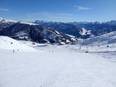
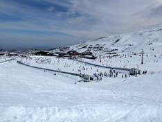
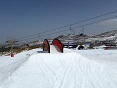
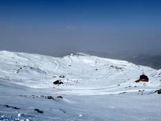
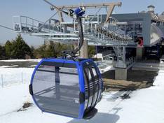
Orientation (Trail map, information boards, sign-postings) and safety in the ski resort Sierra Nevada – Pradollano
The slope map provides an excellent representation of the Sierra Nevada ski area. All lifts and slopes are detailed on the map. In the legend, you can find specific facts about each lift and each slope. Additional information about the ski area is provided on the reverse side.
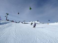
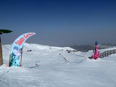
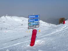
The signage in the Sierra Nevada ski area is exemplary. All slopes are very well marked and signposted. At the lifts, you will find information about each facility. At many points in the ski area, there are digital displays with information about slope conditions and the operating times of the facilities. This means you can easily find your way around the winter sports area.


Feedback for the Skiresort.info Team? Please use this form