Ski resorts Switzerland


Orientation (Trail map, information boards, sign-postings) Rinderberg/Saanerslochgrat/Horneggli – Zweisimmen/Saanenmöser/Schönried/St. Stephan

Evaluated by Skiresort.info, the world's largest test portal for ski resorts.
The evaluation is done as follows
Orientation and safety in the ski resort Rinderberg/Saanerslochgrat/Horneggli – Zweisimmen/Saanenmöser/Schönried/St. Stephan
Trail map and overview maps
The piste map gives a very good overview of the complete ski resort. It also shows all ski resorts in the region of Gstaad. The lifts and slopes are all listed individually including numbers. The only areas where more details would be useful is for restaurants and bars and information on the precise type of ski lifts.
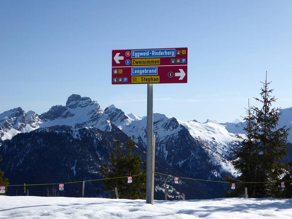
Information boards and sign-postings on the slopes
Signposting and information on the slopes are very good. All slopes are precisely marked, allowing you to easily find your way even in foggy conditions. Large piste maps including current operating information can be found at all the main lift stations.
Trail map

Destination Gstaad Season 2023/2024


Feedback for the Skiresort.info Team? Please use this form »

Select specific criteria
Top evaluation criteria
Further evaluation criteria
Orientation (trail map, information boards, sign-postings)
Evaluation criteria for special interests
Feedback for the Skiresort.info Team? Please use this form »
Book this ski resort
Test Reports
/Malga San Valentino (Haideralm)")

Tips for the ski holiday

