


12 km Distance - approx. 17 Minutes driving time
Destination - Innerratschings, 39040 Ratschings-Bichl/Colle, Italy
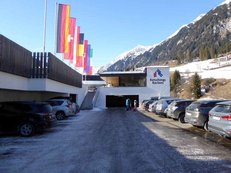
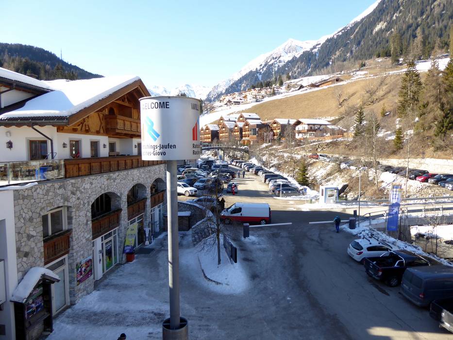
- Ideal entry for day visitors
- View on Google Maps
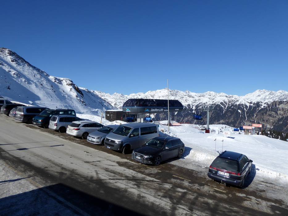
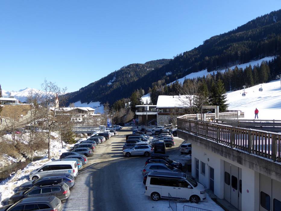
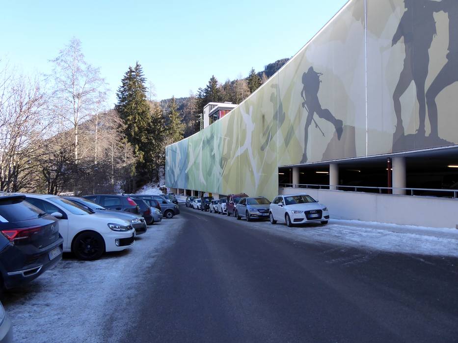
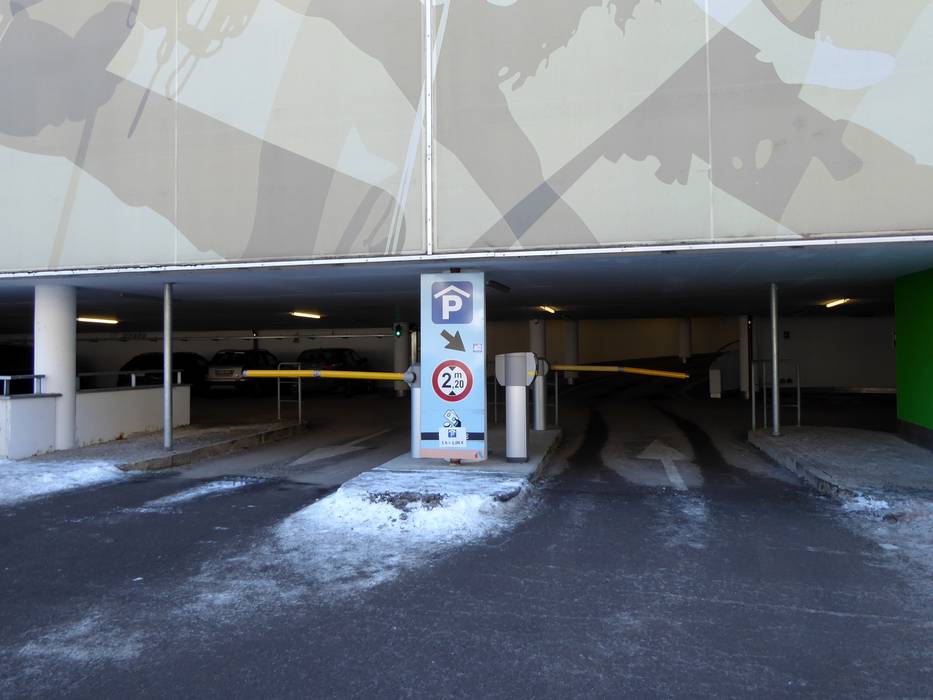
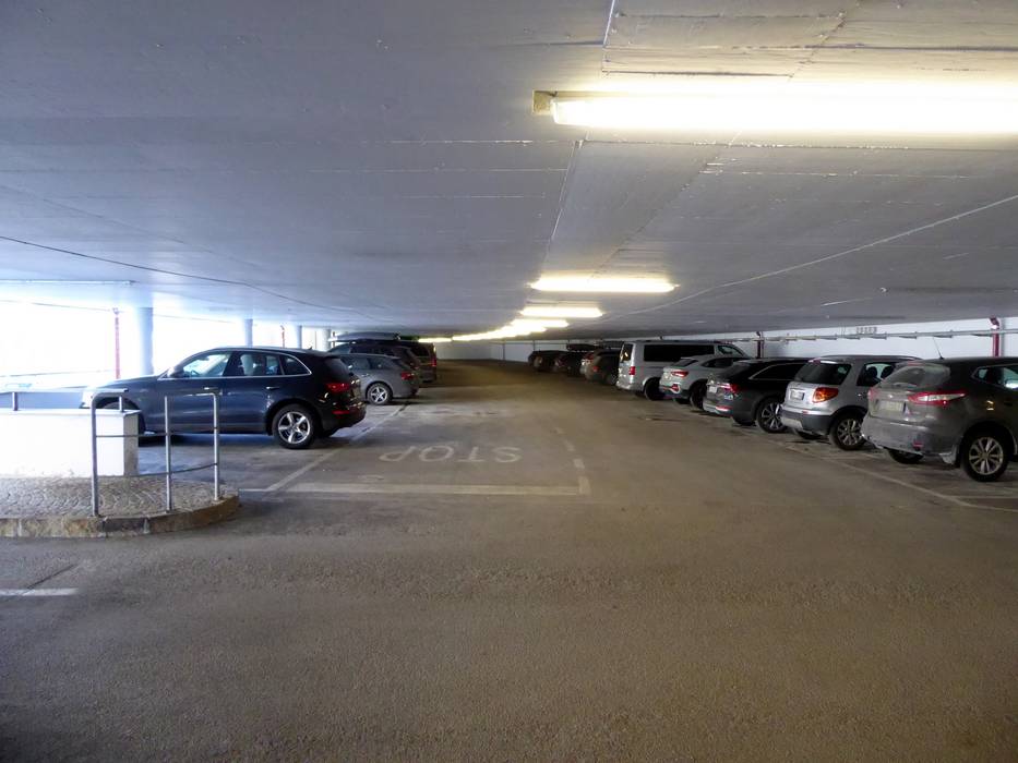
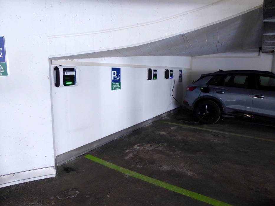
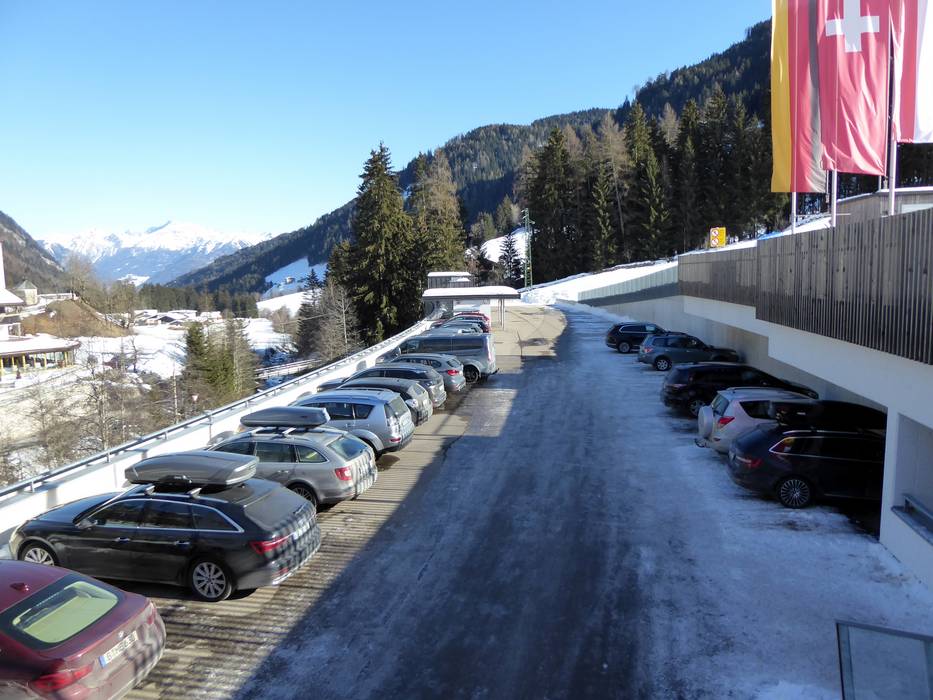
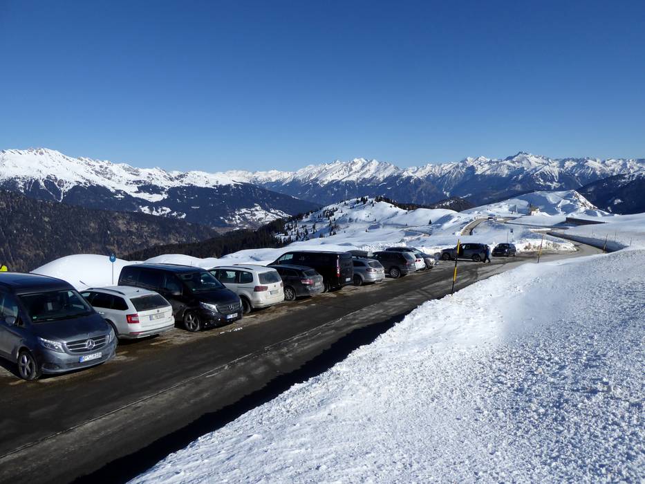
- enough available, covered car park, tarmac car park, gravel car park
- free of charge
- The parking lots are free of charge, the parking garage requires a fee.
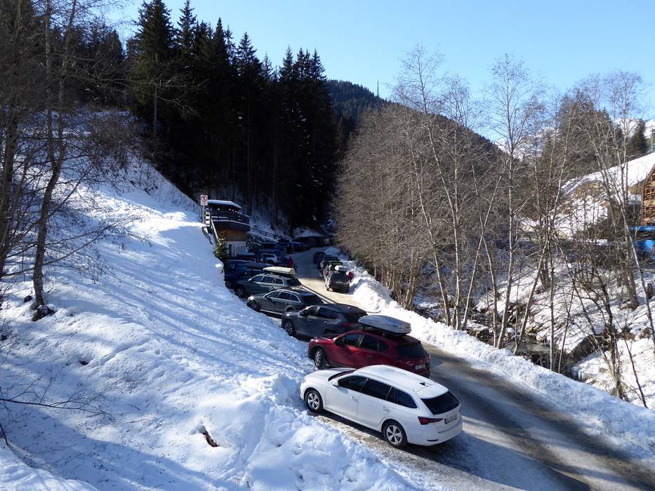
- Side road, well-developed, with significant incline
- Snow chains sometimes required by snowfall
- Road closure due to avalanches unlikely
 Access to ski resort
  Town/village close to ski resort
  Traffic Junction