
65 km Distance - approx. 66 Minutes driving time
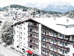
Destination - Via Cruscheda 21, 7504 Pontresina, Switzerland
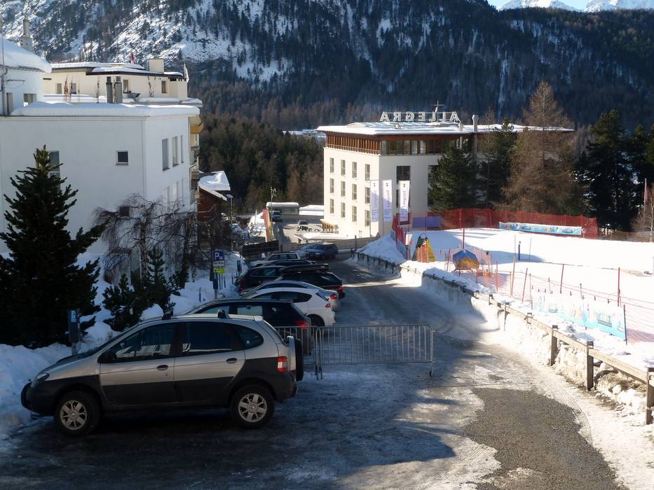
- Ideal entry for day visitors
- View on Google Maps
- limited amount available, tarmac car park
- for a fee, SFr. 8,- / per day
- 30 minutes 0.50 CHF 1 hour 1.00 CHF each additional hour 1.00 CHF
- Side road, Mountain road, well-developed
- Snow chains sometimes required by snowfall
- Road closure due to avalanches unlikely
 Access to ski resort
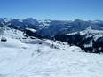
  Town/village close to ski resort
  Traffic Junction
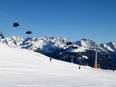
