
71 km Distance - approx. 68 Minutes driving time
Destination - Passo Tonale, 38020 Passo Tonale, Italy
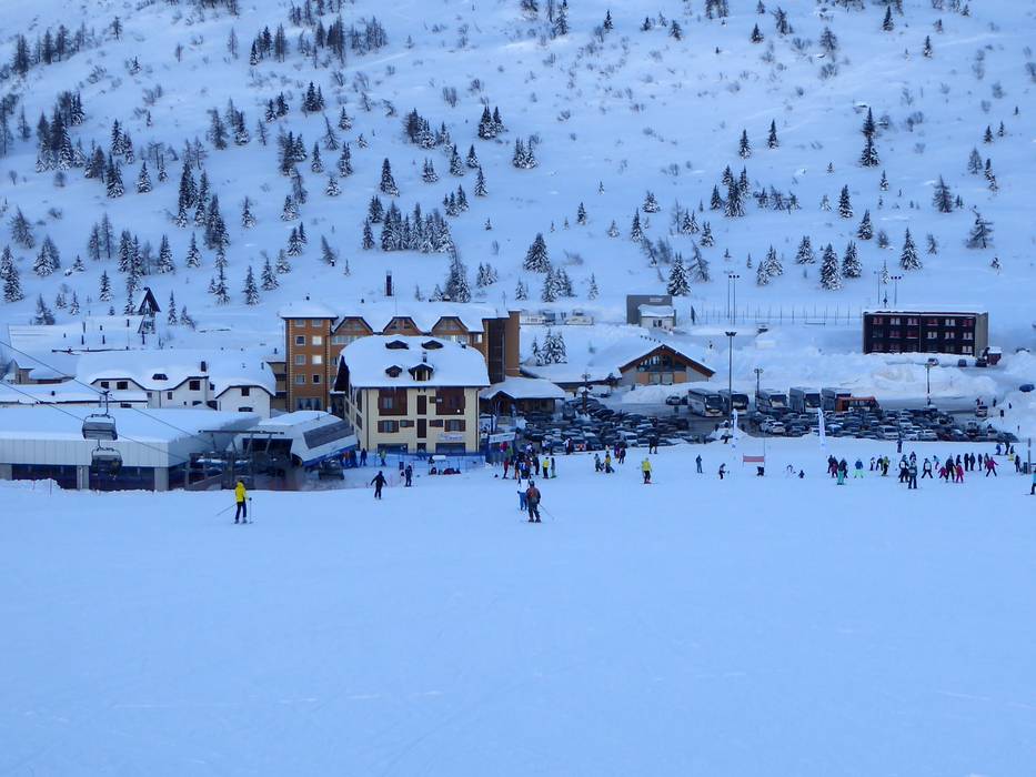
- Ideal entry for day visitors
- View on Google Maps
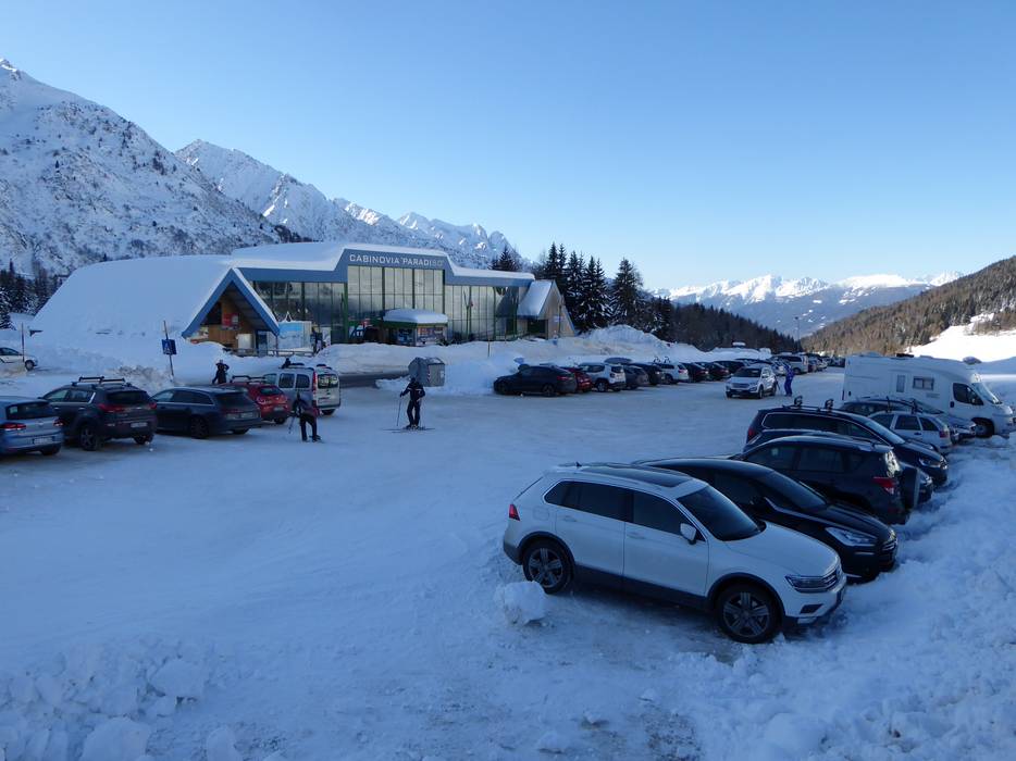
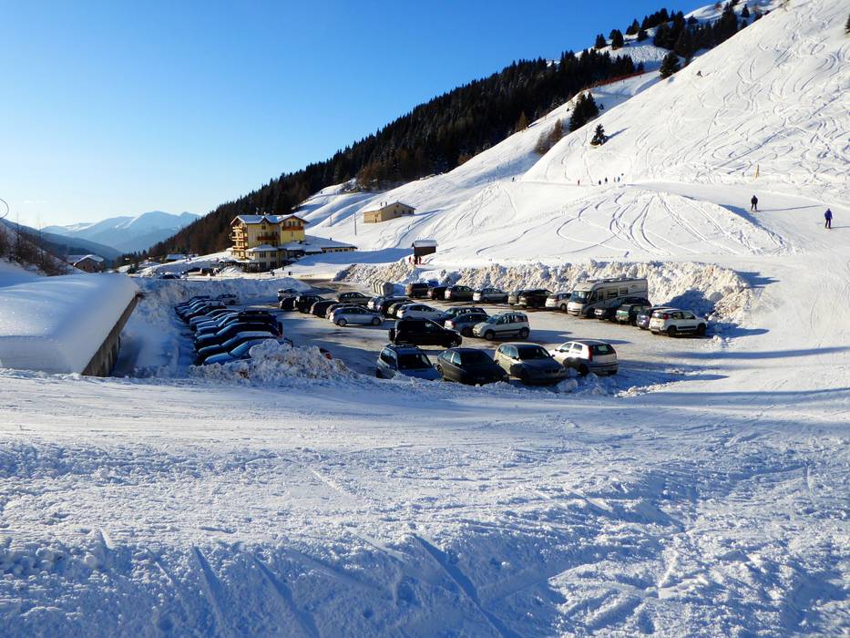
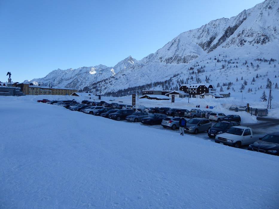
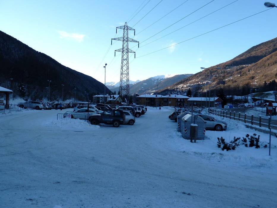
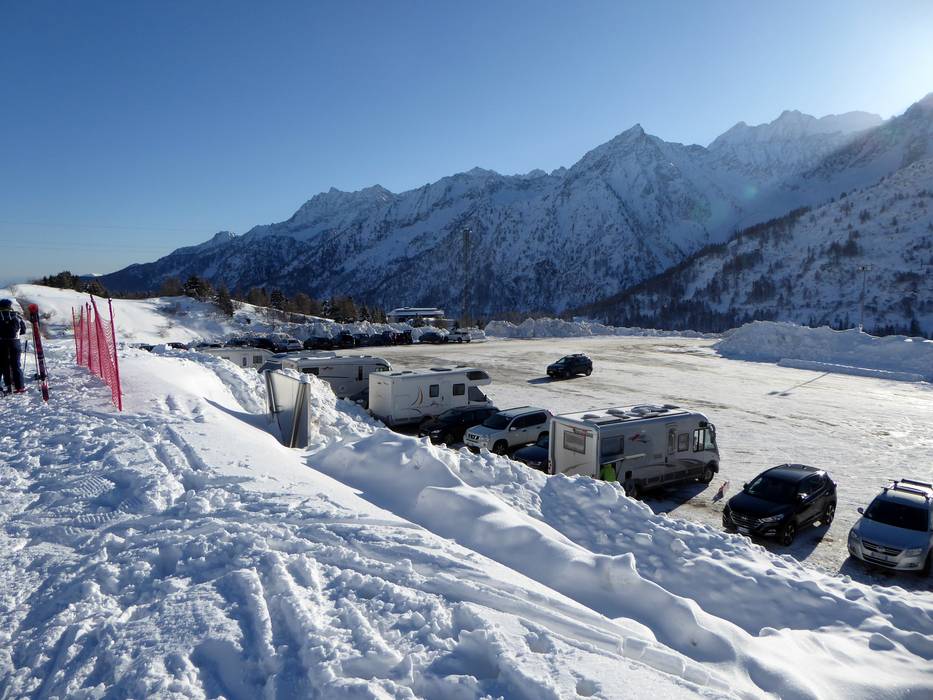
- enough available, gravel car park
- free of charge
- Main street, Side road, Mountain road, well-developed, with significant incline
- Snow chains sometimes required by snowfall
- Road closure due to avalanches unlikely
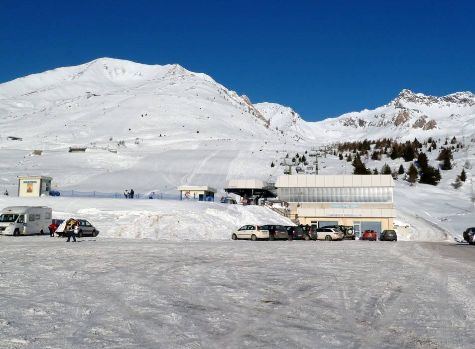
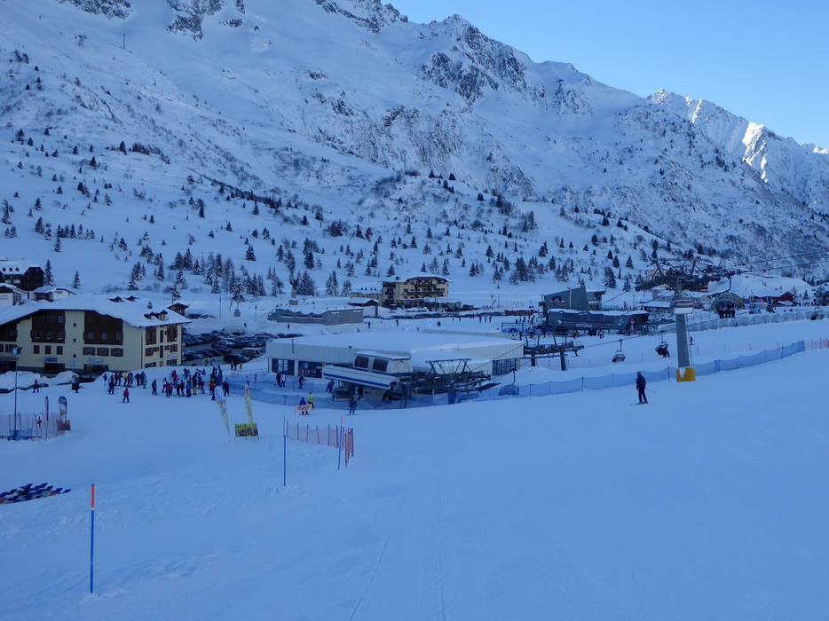
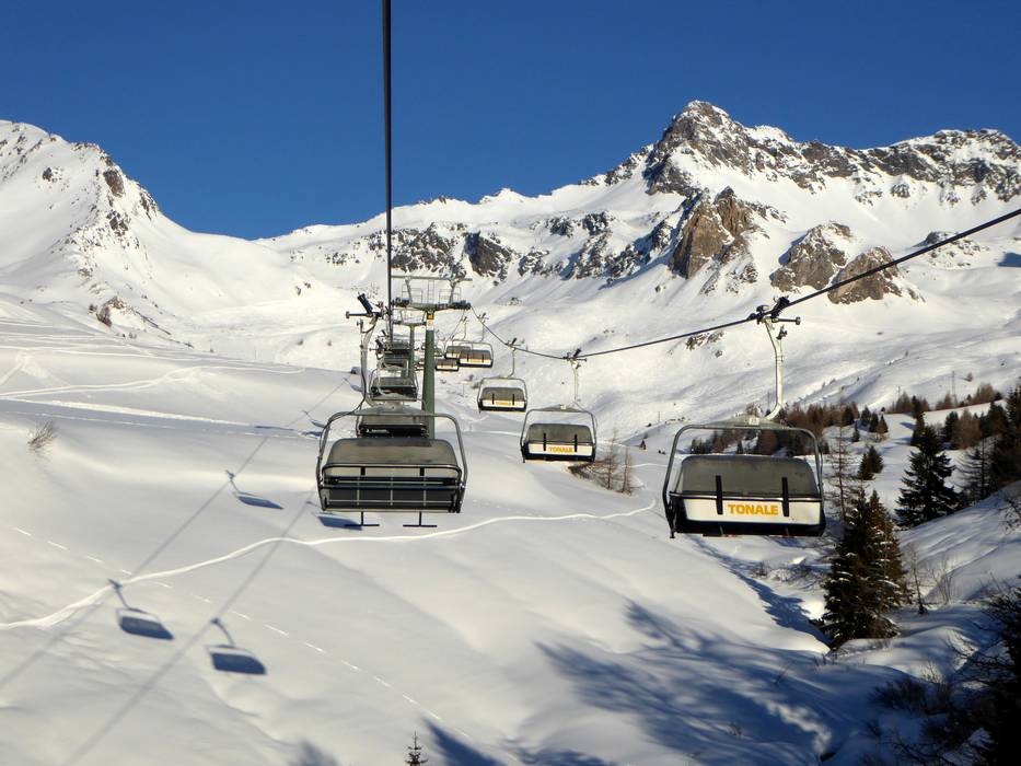
 Access to ski resort
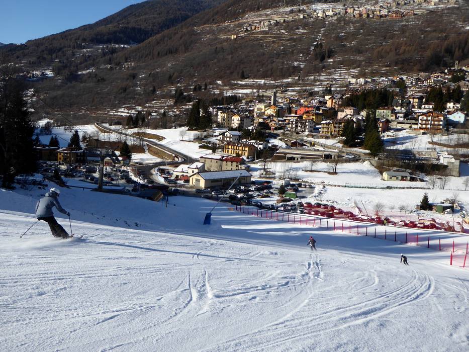
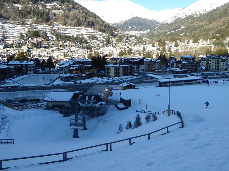
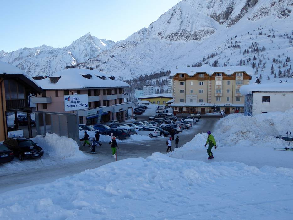
  Town/village close to ski resort
  Traffic Junction
