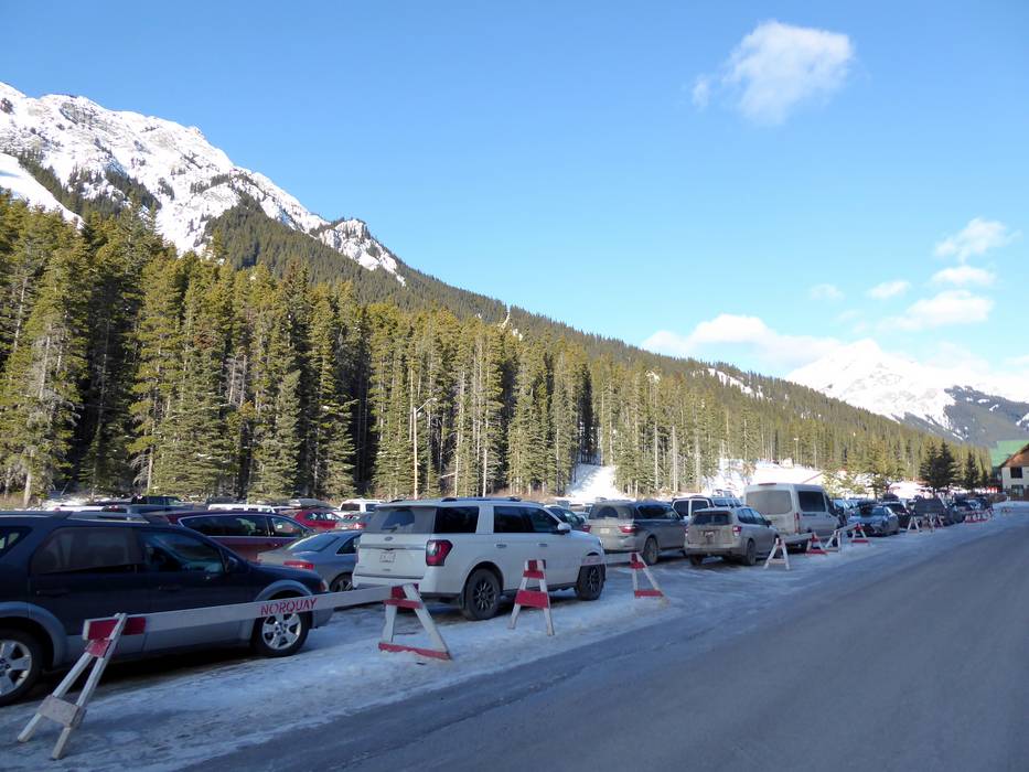
6 km Distance - approx. 8 Minutes driving time
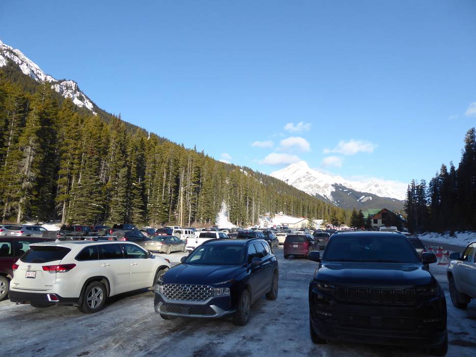
Destination - Mt. Norquay Base Area, T1L 1B4 Banff, Canada
- Ideal entry for day visitors
- View on Google Maps
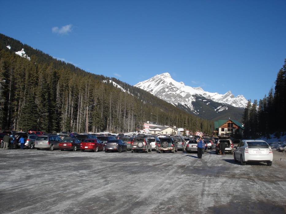
- enough available, gravel car park
- free of charge
- Banff National Park Pass required
- Side road, Mountain road, with significant incline
- Snow chains sometimes required by snowfall
- Road closure due to avalanches unlikely
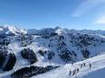
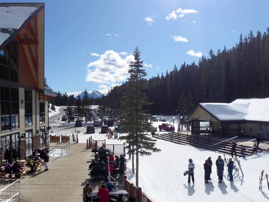
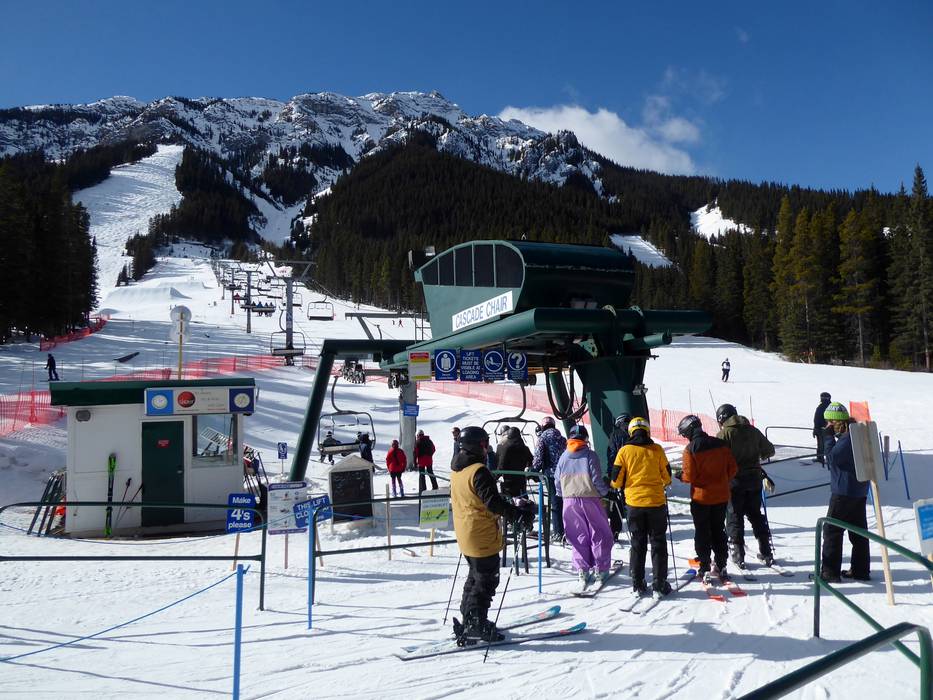
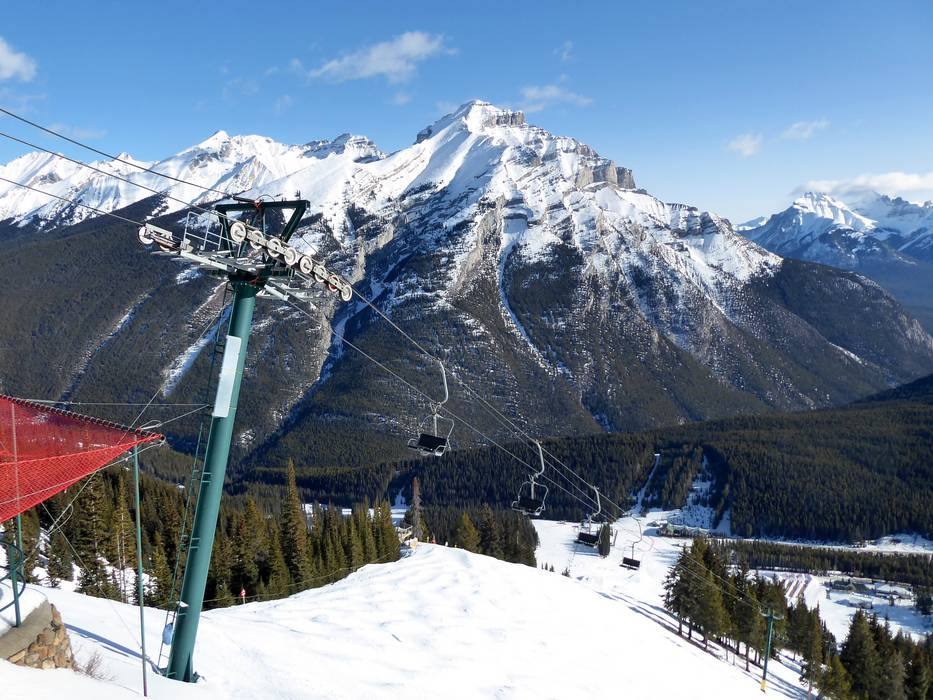
 Access to ski resort
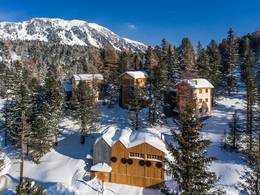
  Town/village close to ski resort
  Traffic Junction
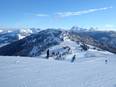