
59 km Distance - approx. 56 Minutes driving time
Destination - Zur Alpe, 94158 Mitterfirmiansreut, Germany
- Entry suitable for day visitors
- View on Google Maps
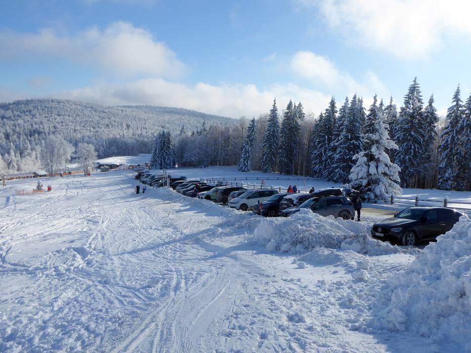
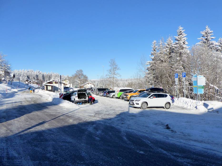
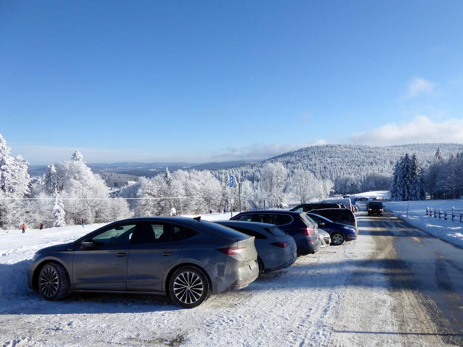
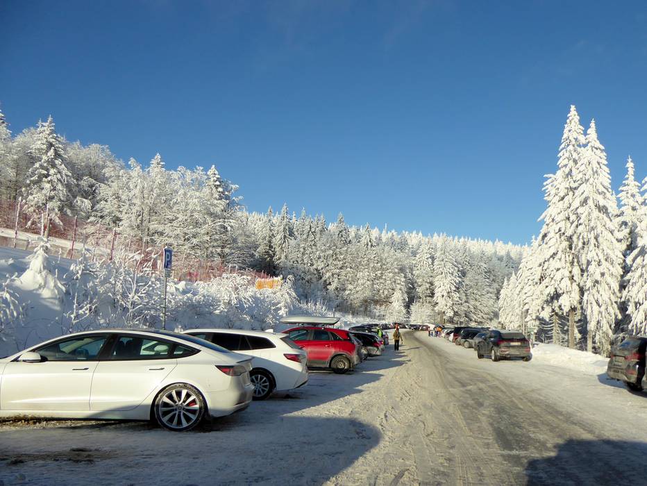
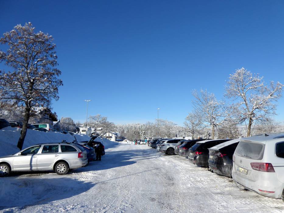
- usually enough available, tarmac car park, gravel car park, grass car park
- for a fee
- Main street, Side road, well-developed
- Snow chains almost never required by snowfall
- Road closure due to avalanches extremely unlikely
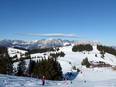
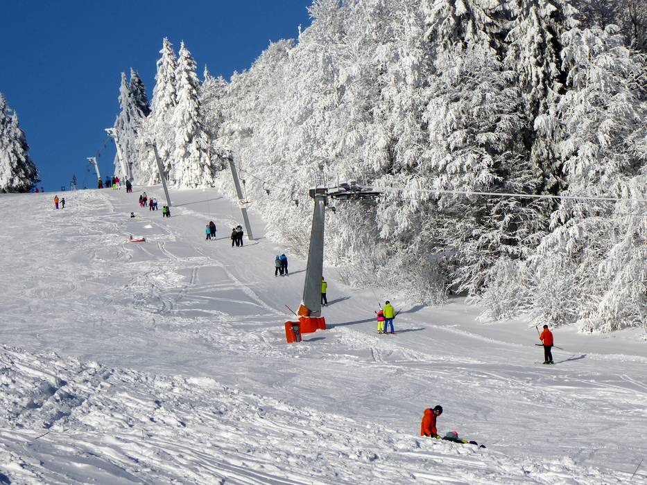
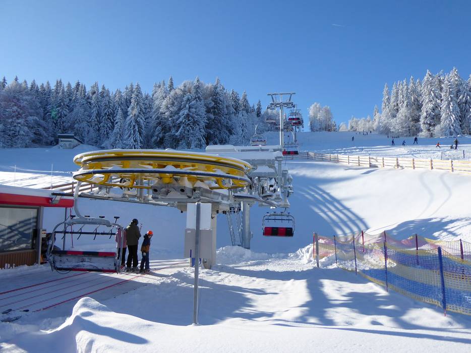
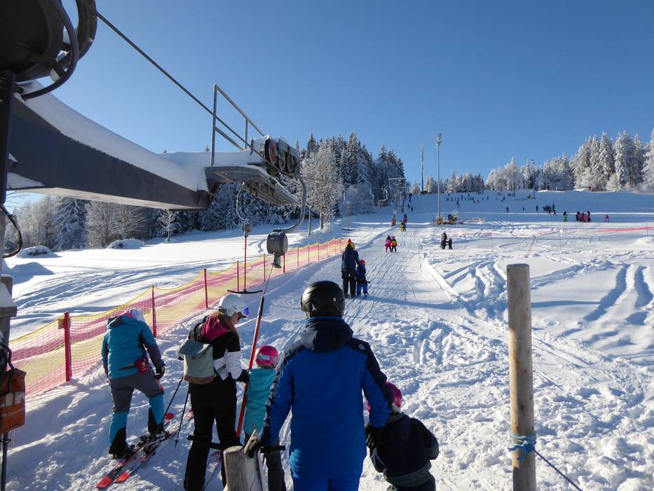
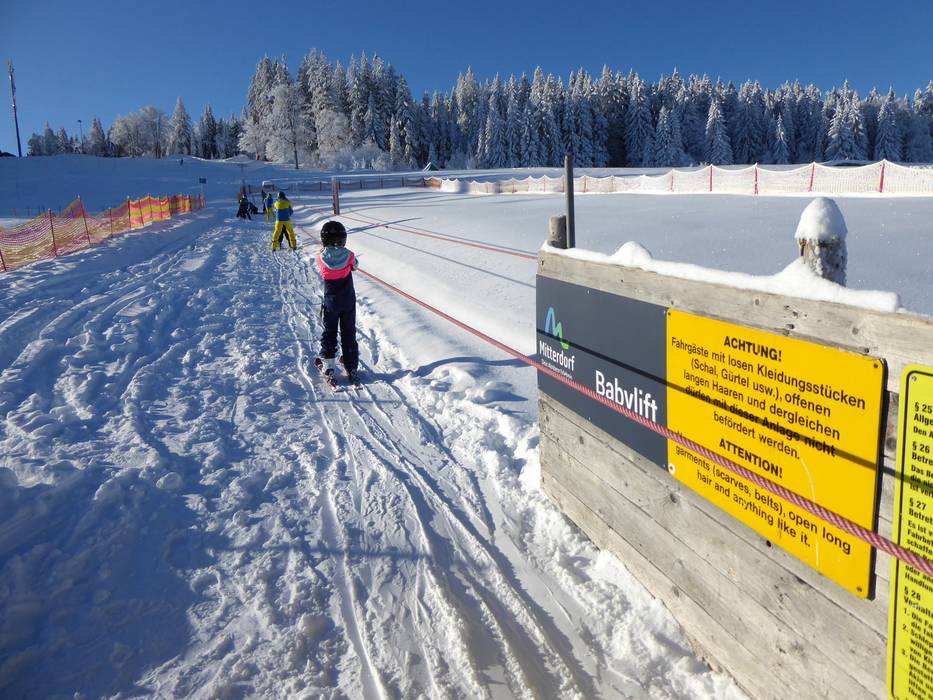
 Access to ski resort
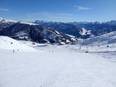
  Town/village close to ski resort
  Traffic Junction
