
Evaluated by Skiresort.info, the world's largest test portal for ski resorts.
The evaluation is done as follows
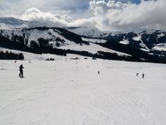
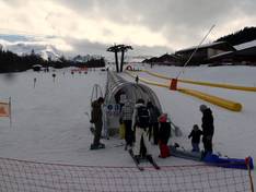
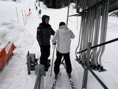
Orientation (Trail map, information boards, sign-postings) and safety in the ski resort Megève/Saint-Gervais
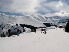
Trail map and overview maps
The slope map depicts the entire ski areas of Evasion Mont Blanc. All slopes and lifts are marked, providing a good overview of the entire Megève ski area. On the reverse side, you will find information about dining options and operating hours, as well as a detailed map of Megève.
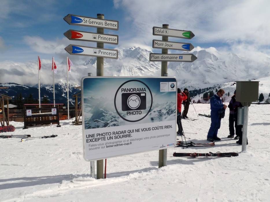
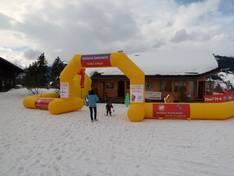
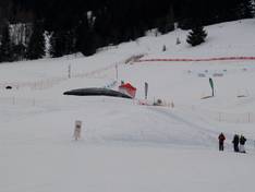
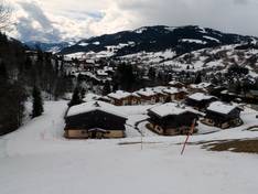
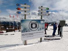
Information boards and sign-postings on the slopes
At all key points in the ski area, slope maps and up-to-date operating information can be found. All slopes are signposted. Despite the size of the ski area, it is easy to find your way around.
Trail map
")
Megève/Saint-Gervais (Evasion Mont Blanc) Season 2025/2026
Top Orientation


12 strengths of this ski resort


Feedback for the Skiresort.info Team? Please use this form

Select specific criteria
Top evaluation criteria
Further evaluation criteria
Orientation (trail map, information boards, sign-postings)
Evaluation criteria for special interests
Feedback for the Skiresort.info Team? Please use this form
Test Reports
Tips for the ski holiday