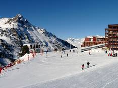
Orientation (Trail map, information boards, sign-postings) and safety in the ski resort Les Arcs/Peisey-Vallandry (Paradiski)
Trail map and overview maps
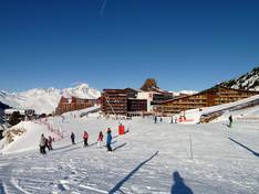
The available folding maps are clearly designed, detailed, and sufficiently large. They are freely available at all valley stations and information points. Attractions, huts, toilets, information points, and rescue stations are clearly marked. Runs whose direction is not immediately apparent are additionally marked with small arrows indicating the slope direction.
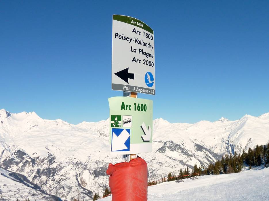
Information boards and sign-postings on the slopes
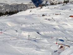
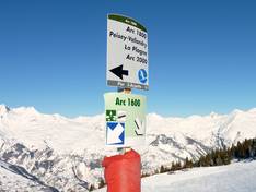
Especially on the northwest slope of the area, it can sometimes be difficult to find your way among the numerous parallel runs leading to the various villages at the foot of Les Arcs. An exemplary signage system provides relief: all intersections and junctions are uniformly marked with the name and difficulty level of the run, as well as the lifts and villages accessible from there. The signs are clearly designed and hard to miss. The name of each run is displayed at regular intervals on the piste boundary poles. Large overview boards are also installed at all key points in the area, and at the most important ones, green and red lights indicate the current status of lifts and runs.