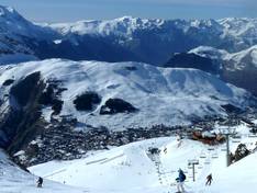
Orientation (Trail map, information boards, sign-postings) and safety in the ski resort Les 2 Alpes
Trail map and overview maps
The piste map is very clear. It shows the entire area as well as quite detailed information about the snowpark. Unfortunately, the lift symbols are not very informative and additional information such as the length of lifts and pistes is missing. The map includes a legend (also for the signs on the pistes) as well as detailed maps of the entire upper area, the "Station" sector, and the "Vallée Blanche" sector. The detailed maps also show the huts and restaurants. However, current information about events or a ski bus schedule is missing.
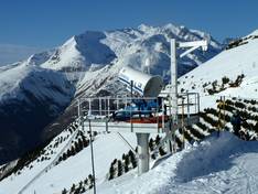
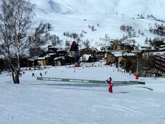
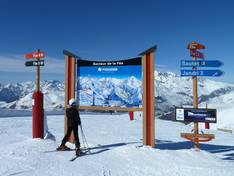
Information boards and sign-postings on the slopes
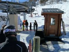
On the slopes, signs are posted at all intersections and junctions. At key points, there are also overview boards. The sectors are clearly marked. At the lifts, the name and the accessible runs, as well as their status (open/closed) and a map of them, are displayed. Hazardous areas are clearly secured, and special zones such as beginner areas and slow-skiing slopes are also clearly marked.