
6 km Distance - approx. 7 Minutes driving time
Destination - 455 QC-138, G0A 2L0 Petite-Rivière-Saint-François, Canada
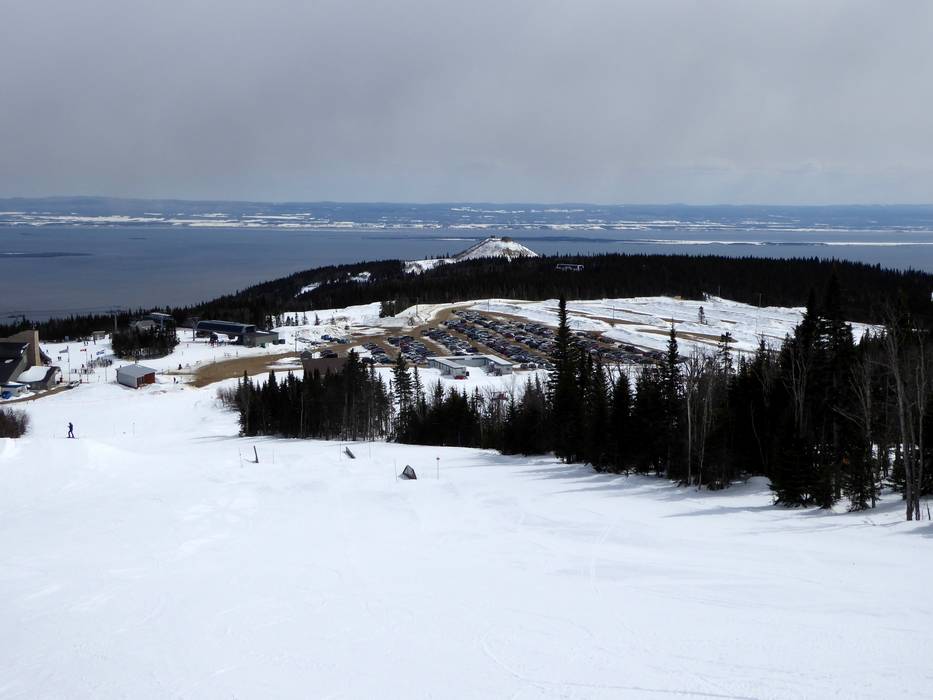
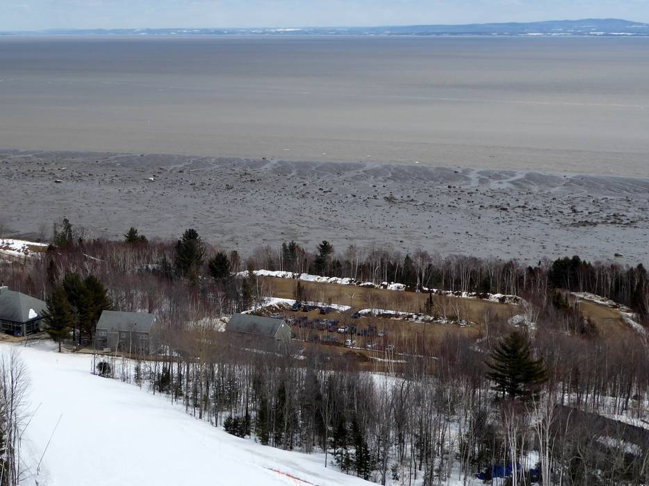
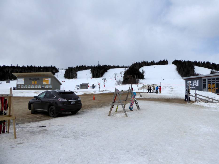
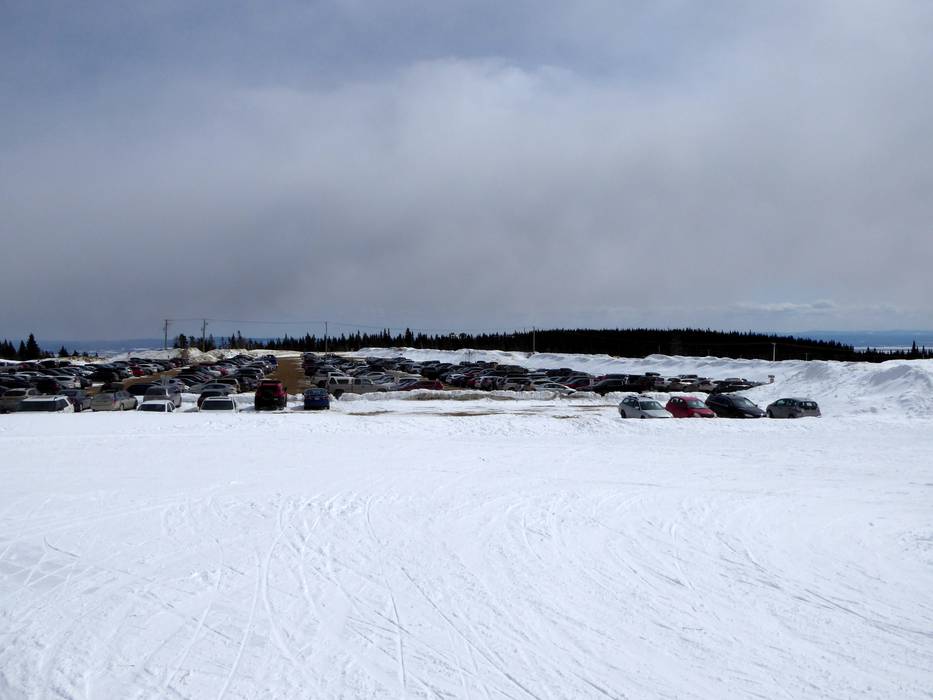
- Ideal entry for day visitors
- View on Google Maps
- enough available, gravel car park
- free of charge
- Side road, Mountain road, not developed
- Snow chains sometimes required by snowfall
- Road closure due to avalanches unlikely
 Access to ski resort
  Town/village close to ski resort
  Traffic Junction