
47 km Distance - approx. 74 Minutes driving time
Destination - Racharten, 3918 Wiler (Lötschen), Switzerland
- Ideal entry for day visitors
- View on Google Maps
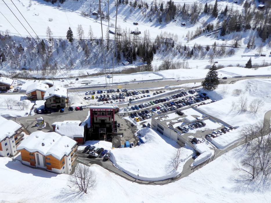
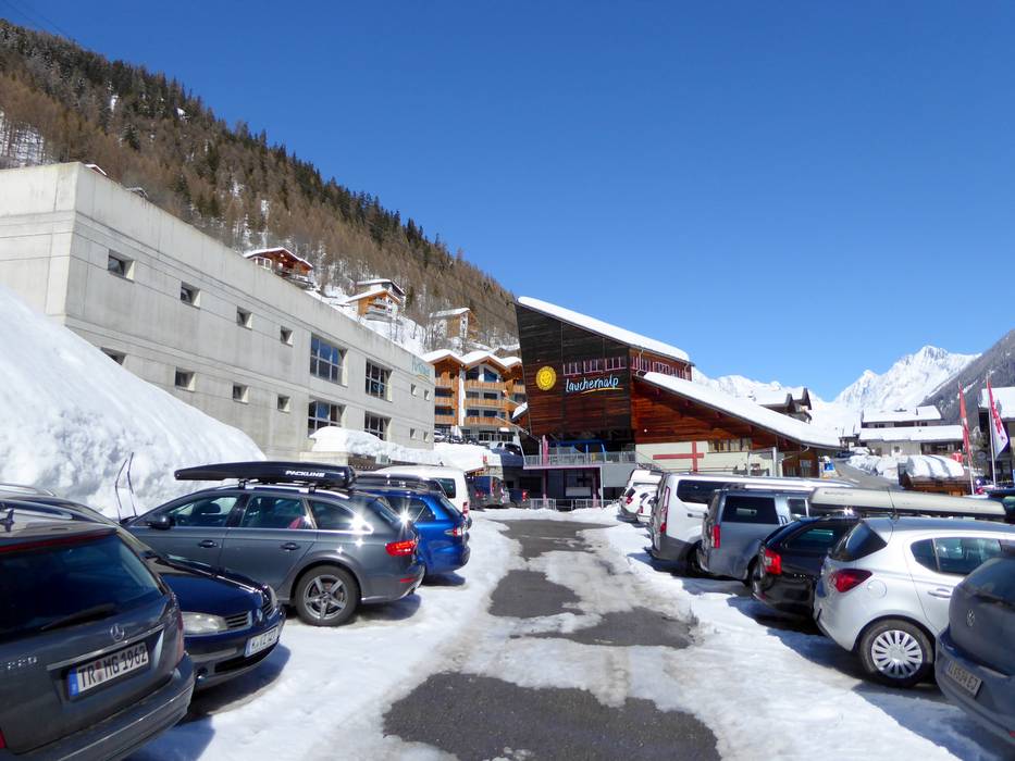
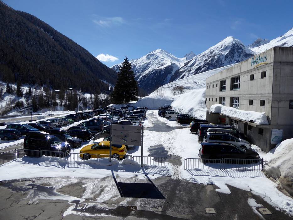
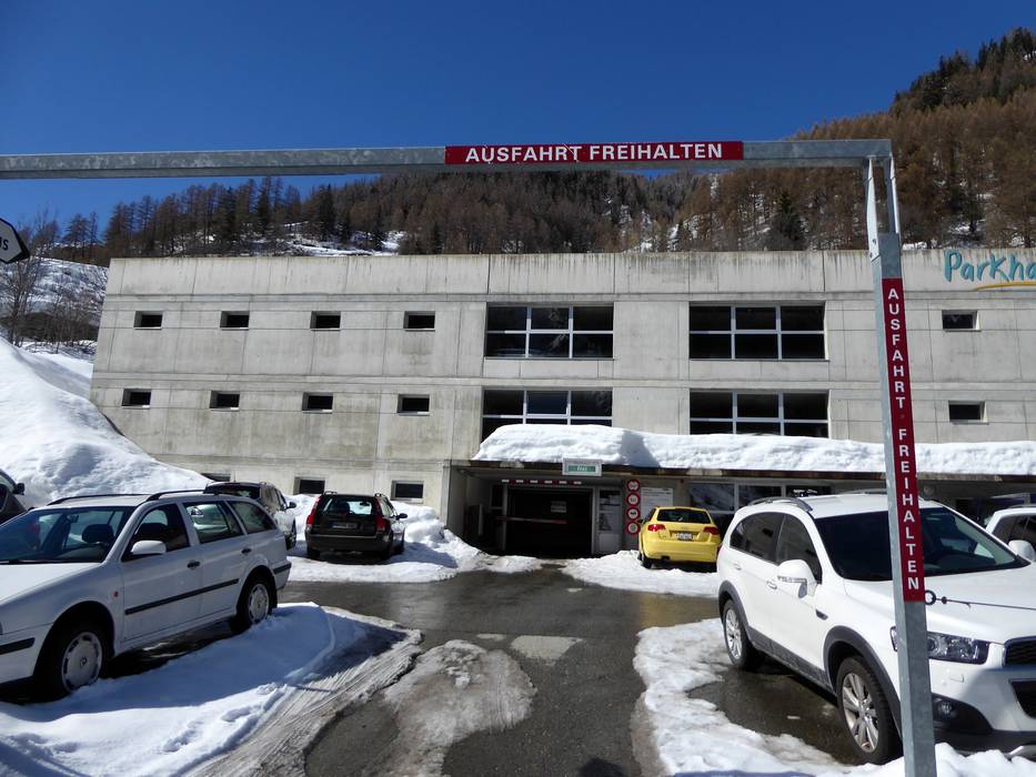
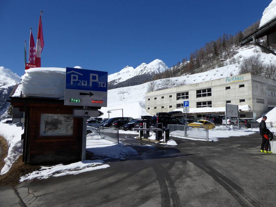
- usually enough available, covered car park, tarmac car park
- for a fee
- Main street, Mountain road, well-developed, with significant incline
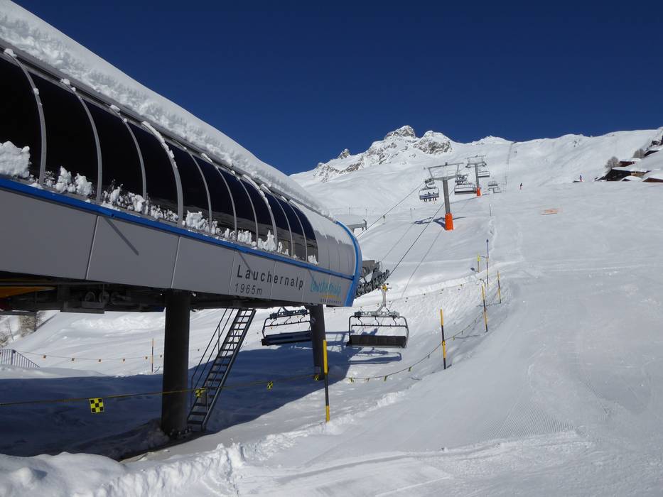
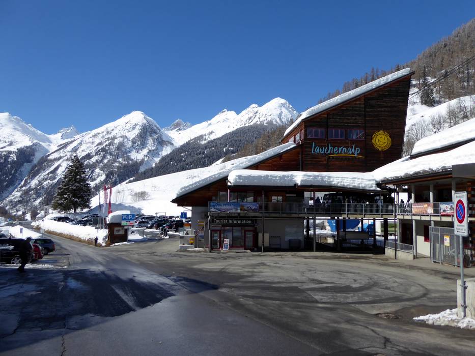
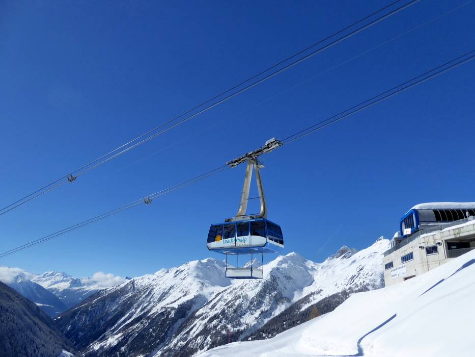
 Access to ski resort
  Town/village close to ski resort
  Traffic Junction