
Evaluated by Skiresort.info, the world's largest test portal for ski resorts.
The evaluation is done as follows
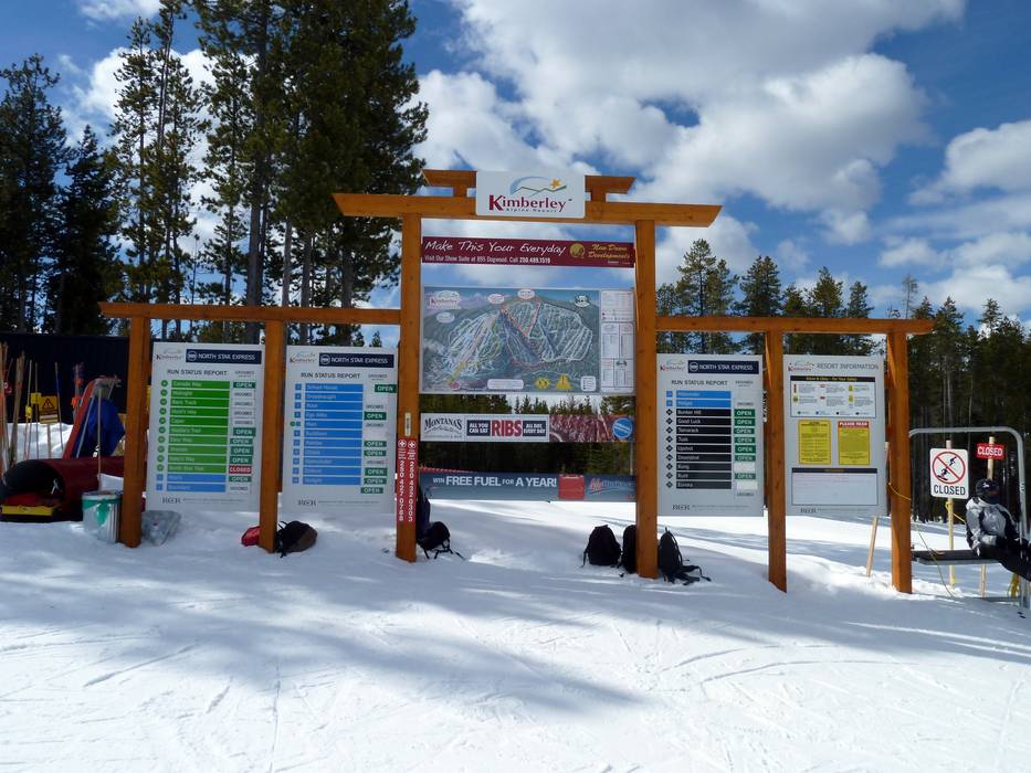
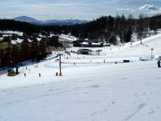
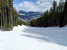
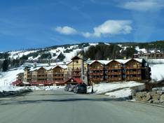
Orientation (Trail map, information boards, sign-postings) and safety in the ski resort Kimberley
Trail map and overview maps
The piste map provides an excellent overview of the Kimberley ski area. By dividing the ski area into four zones, it remains easy to navigate. All lifts, pistes, restaurants, and accommodation options are clearly marked. Each run is labeled with a number and name. This ensures you can always find your way around the ski area.
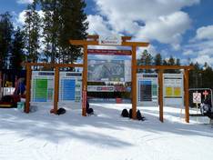
Information boards and sign-postings on the slopes
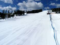
Every slope in the Kimberley ski area is marked with a name. At key points, you will find trail maps and information about the current operating status. This ensures you can always find your way around the ski area easily.
Trail map

Kimberley Season 2025/2026
Top Orientation


12 strengths of this ski resort


Feedback for the Skiresort.info Team? Please use this form
Select specific criteria
Top evaluation criteria
Further evaluation criteria
Orientation (trail map, information boards, sign-postings)
Evaluation criteria for special interests
Feedback for the Skiresort.info Team? Please use this form
Book this ski resort
Test Reports
Tips for the ski holiday