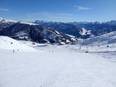
Orientation (Trail map, information boards, sign-postings) and safety in the ski resort Jakobshorn (Davos Klosters)
Trail map and overview maps
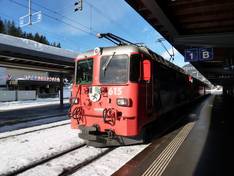
You can get practical pocket-sized piste maps everywhere. The piste maps show information about the five ski areas of the Davos Klosters destination. All slopes, lifts, mountain restaurants, and the Rhaetian Railway are described. Additionally, there is a separate timetable for the local buses and another map with rates and information.
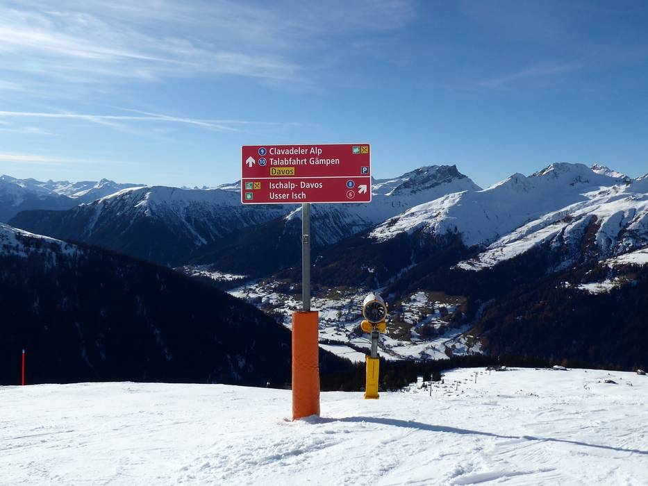
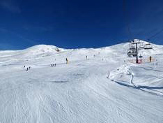
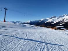
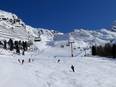
Information boards and sign-postings on the slopes
At the mountain and valley stations, you will find panoramic boards with up-to-date information. Each slope is marked in detail, making it easy to find your way even in dense fog. At the junctions, large signs display the slope numbers and indicate where the slopes lead.
Trail map
Davos Klosters: Pischa-Jakobshorn-Rinerhorn Season 2025/2026