27 km Distance - approx. 32 Minutes driving time
Destination - Via Negheli, 87, 38064 Folgaria, Italy
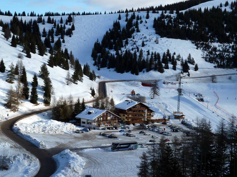
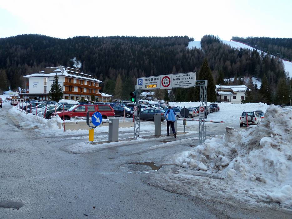
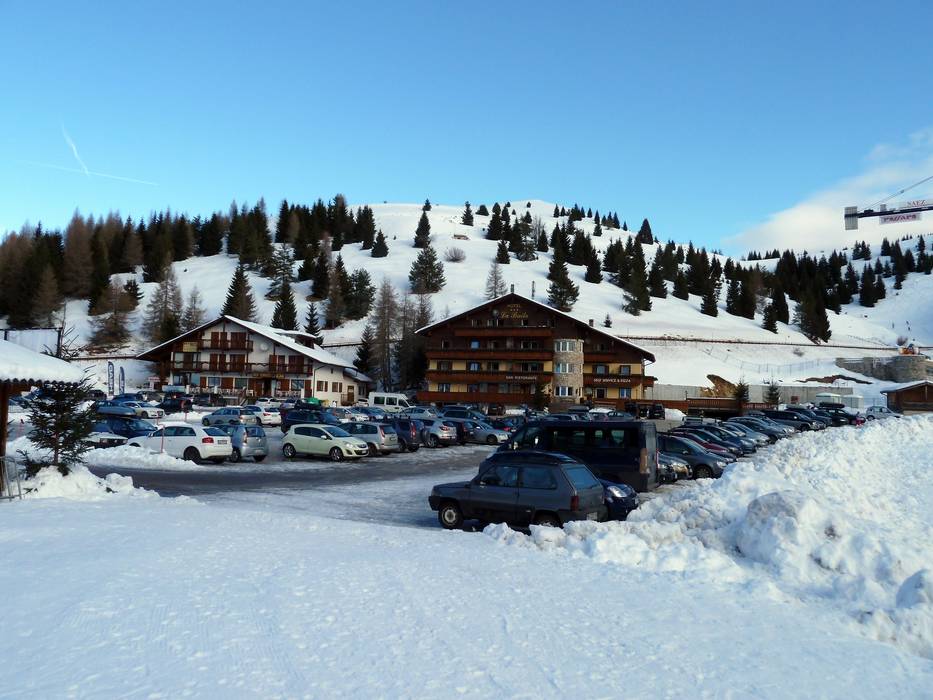
- Ideal entry for day visitors
- View on Google Maps
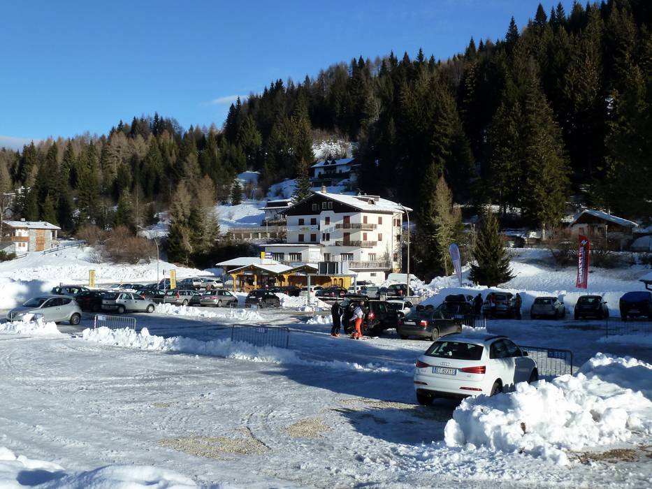
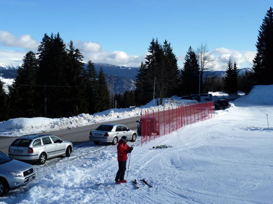
- usually enough available, tarmac car park, gravel car park
- for a fee, 2,- / per day
- Side road, Mountain road, partially developed, with significant incline
- Snow chains sometimes required by snowfall
- Road closure due to avalanches unlikely
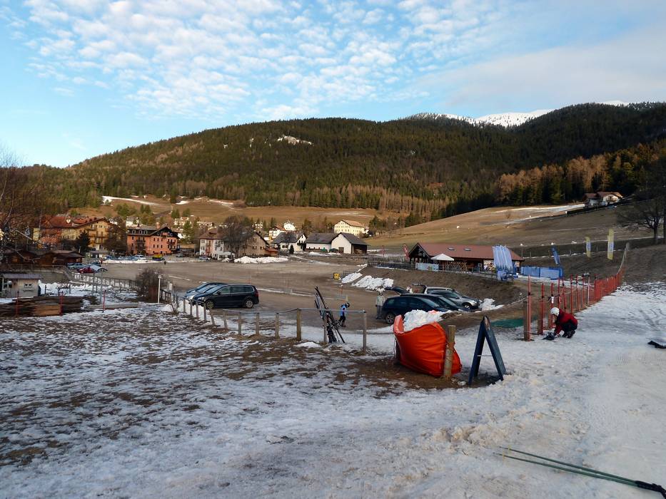
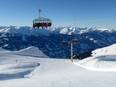
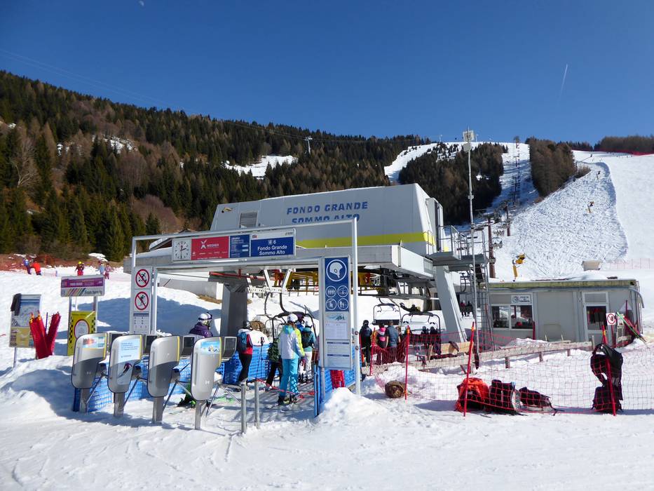
 Access to ski resort
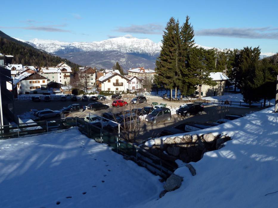
  Town/village close to ski resort
  Traffic Junction
