Ski resorts Switzerland
Route planner
Access & on-site parking
Crans-Montana is located on a sunny plateau above the Rhone Valley in Valais. Mountain roads lead from the Rhone Valley to the entry points of Crans-Montana from the A9 Autoroute du Rhone. After about 25 minutes, you reach the paid parking lots at the lifts. If you're willing to spend a bit more, you can use the "Parking Premium" right next to the lift. There is also a funicular railway from Sierre in the Rhone Valley to Montana. Winter Closure
The Furka Pass and Oberalp Pass are closed for winter. Access from the north and west is possible via the Furka car shuttle (Realp–Oberwald) or Lötschberg.
Access via
- A9 Autoroute du Rhône, end of the motorway at Sierre
15 km approx. 24 min » - A9 Autoroute du Rhône, exit Sion-est
22 km approx. 28 min »
Mobility on-site
- Ski buses
- Scheduled buses
- The resort of Crans-Montana offers an extensive network of free shuttle buses.
Access via A9 Autoroute du Rhône, end of the motorway at Sierre
15 km Distance - approx. 24 Minutes driving time
Destination - Route de Plumachit, 3963 Crans-Montana, Switzerland
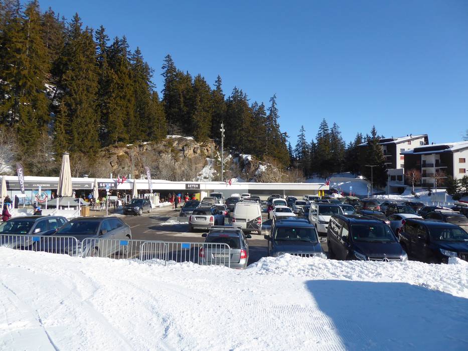
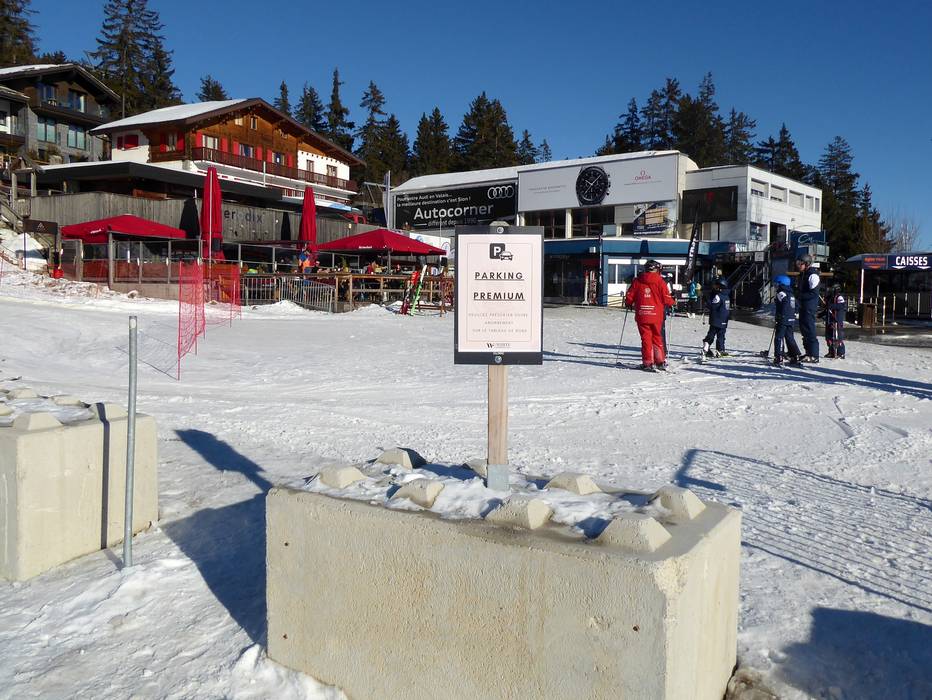
- Ideal entry for day visitors
- View on Google Maps
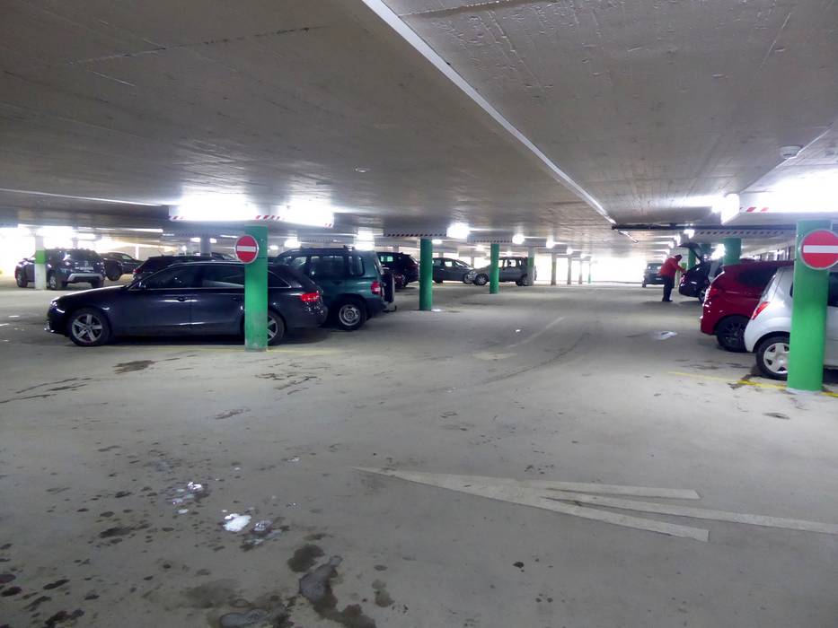
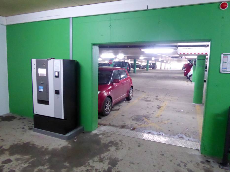
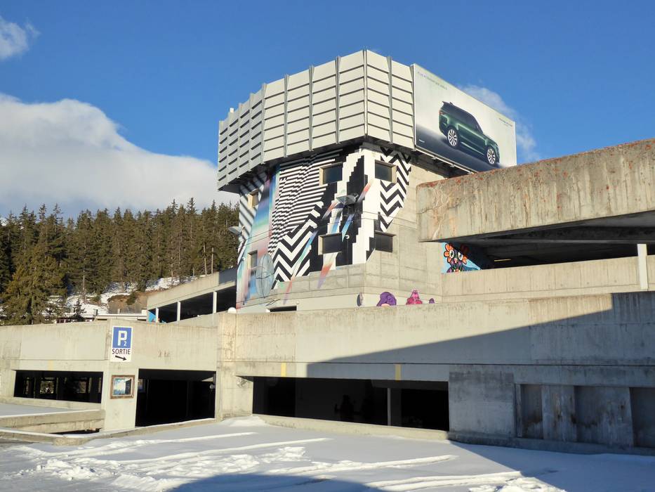
- limited amount available, tarmac car park
- for a fee
- Mountain road, well-developed, with significant incline
16 km Distance - approx. 27 Minutes driving time
Destination - Route de Vermala 3, 3963 Crans-Montana, Switzerland
- Entry suitable for day visitors
- View on Google Maps
- limited amount available, covered car park, tarmac car park
- for a fee
- Mountain road, well-developed, with significant incline
Access via A9 Autoroute du Rhône, exit Sion-est
22 km Distance - approx. 28 Minutes driving time
Destination - Rte des Téléphériques, 3963 Crans-Montana, Switzerland
- Entry suitable for day visitors
- View on Google Maps
- usually enough available, covered car park, tarmac car park
- for a fee
- Side road, Mountain road, well-developed, with significant incline
More Entry point(s) to the ski resort
Destination
- Rue de Pradec, 3960 Sierre, Switzerland
- View on Google Maps
- for a fee
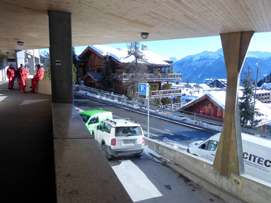
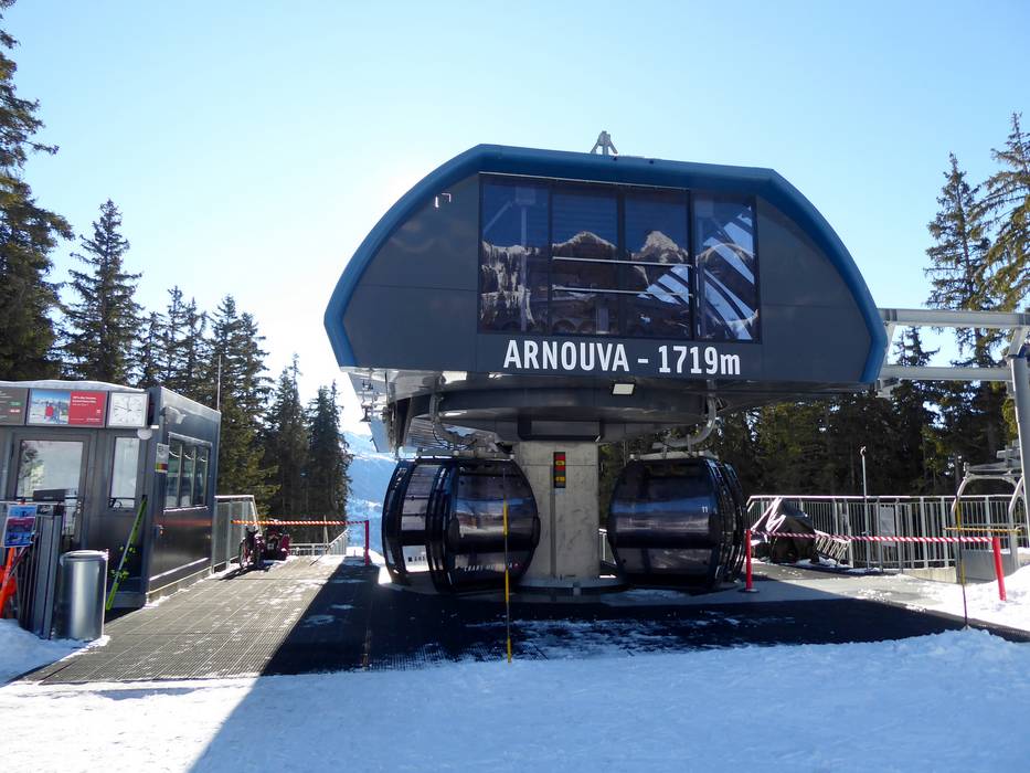
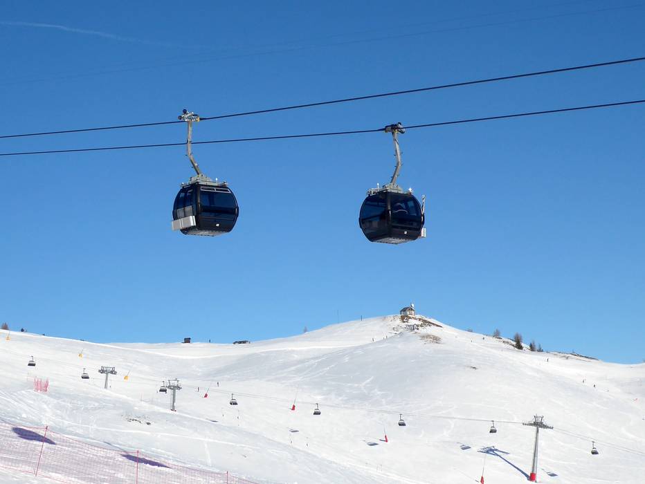
Access to ski resort
Town/village close to ski resort
Traffic Junction All information is supplied without guarantee
The maps are provided by Google with the following information: „These directions are for planning purposes only. You may find that construction projects, traffic, weather, or other events may cause conditions to differ from the map results, and you should plan your route accordingly. You must obey all signs or notices regarding your route.“
Feedback for the Skiresort.info Team? Please use this form
Book this ski resort
Tips for the ski holiday
