
82 km Distance - approx. 89 Minutes driving time
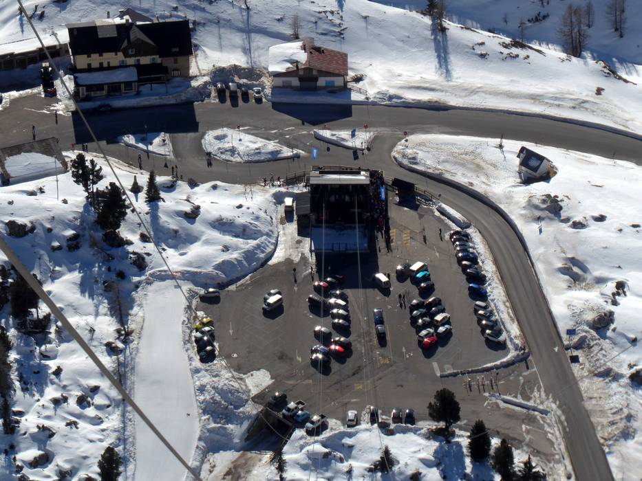
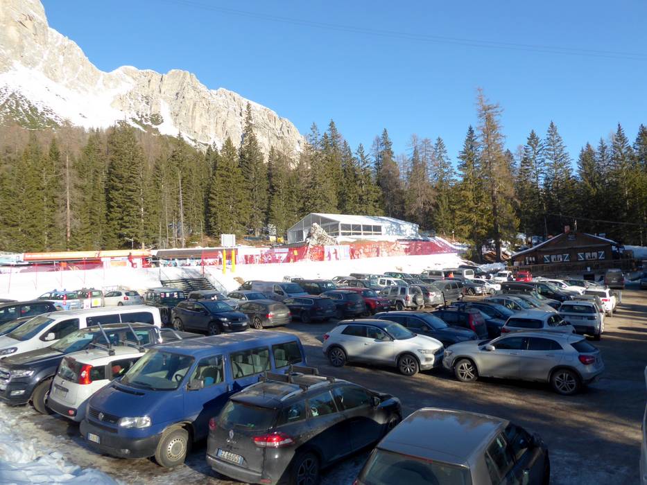
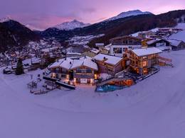
Destination - Rio Gere, 32043 Cortina d'Ampezzo, Italy
- Ideal entry for day visitors
- View on Google Maps
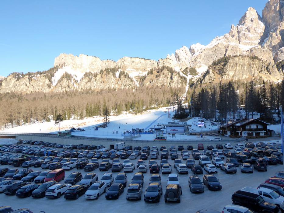
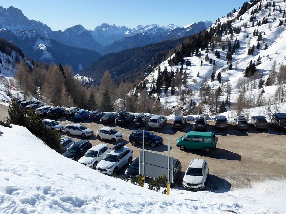
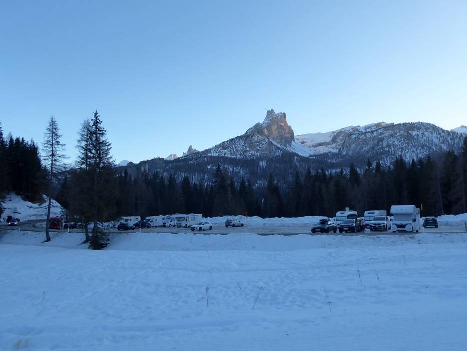
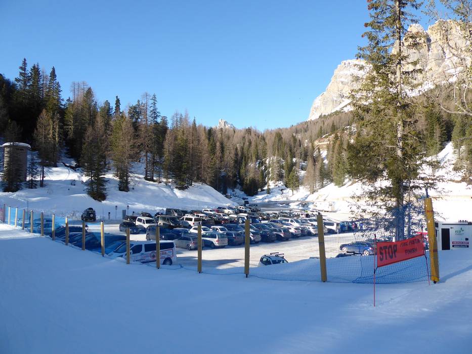
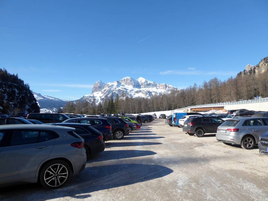
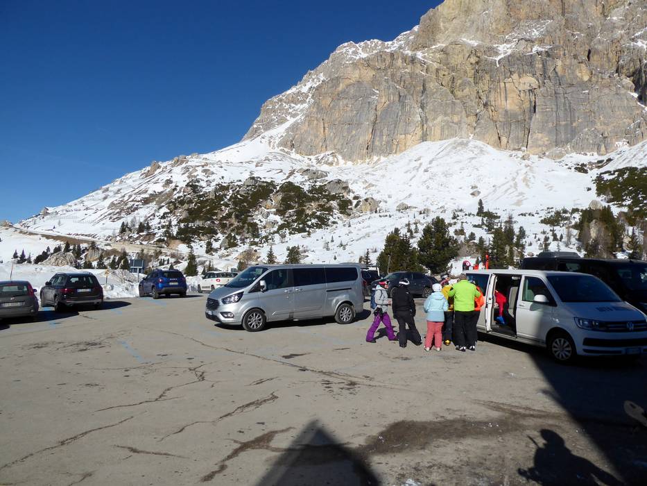
- usually enough available, gravel car park
- free of charge
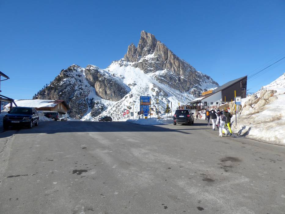
- Mountain road, well-developed
Route planner, detailed directions, entry point(s)
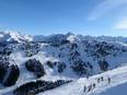
All passes around Cortina d'Ampezzo are kept open in winter and there are no winter closures.
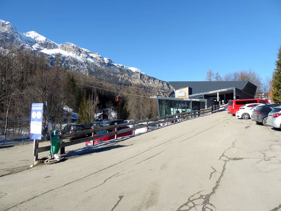
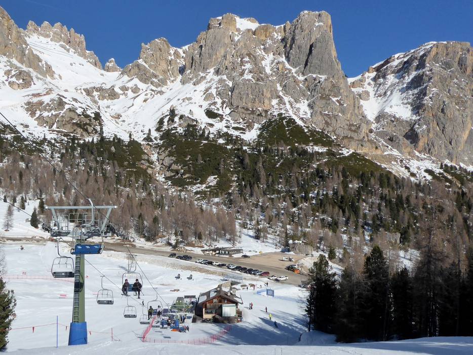
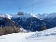
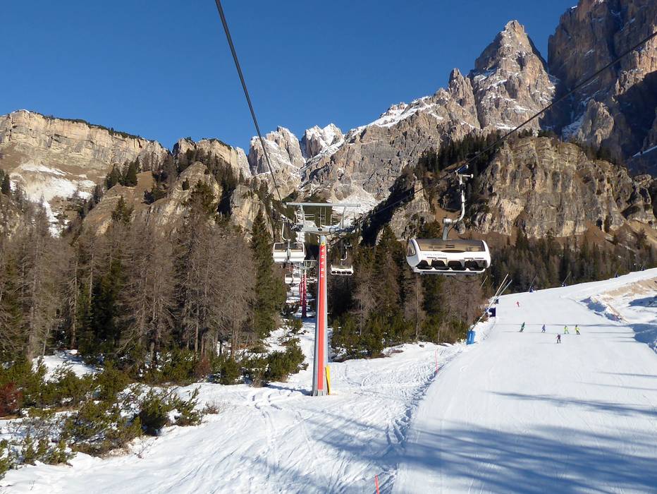
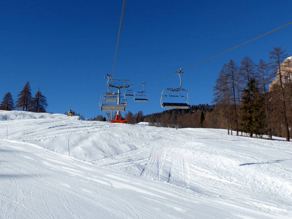
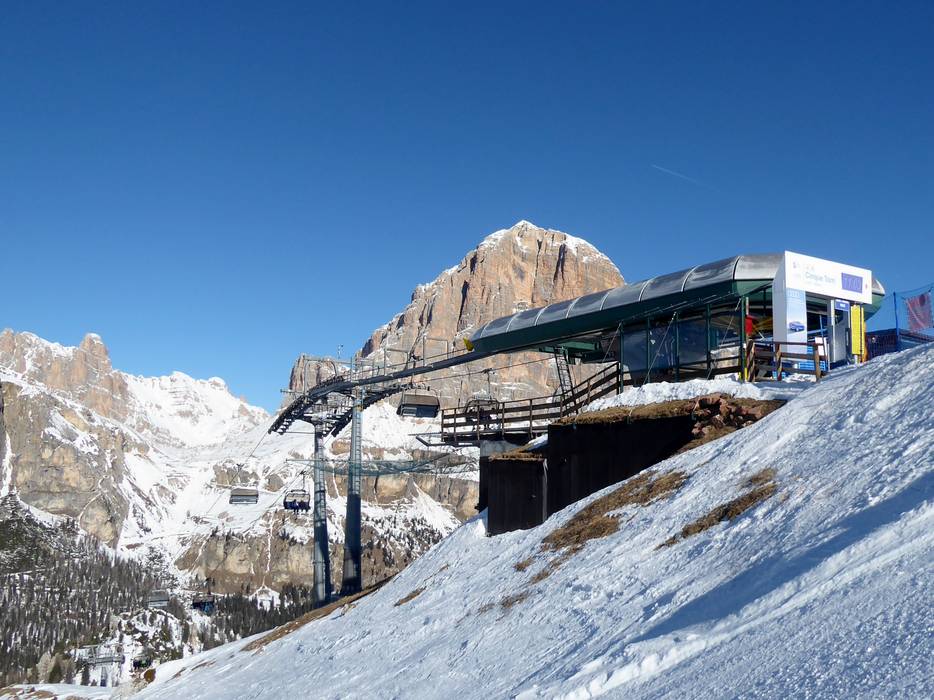
 Access to ski resort
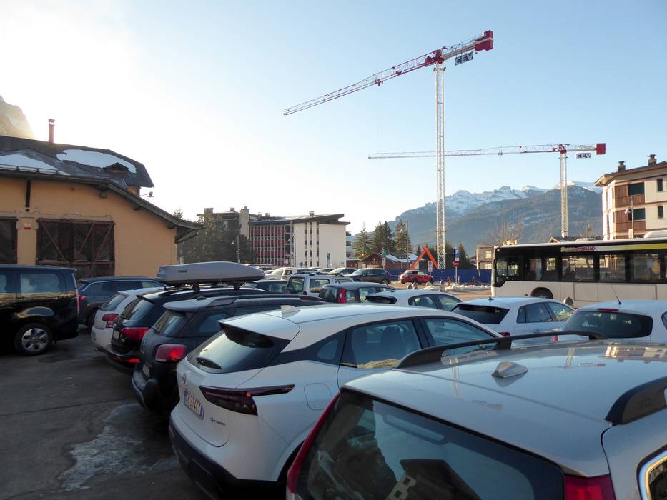
  Town/village close to ski resort
  Traffic Junction
 All information is supplied without guarantee
The maps are provided by Google with the following information: „These directions are for planning purposes only. You may find that construction projects, traffic, weather, or other events may cause conditions to differ from the map results, and you should plan your route accordingly. You must obey all signs or notices regarding your route.“
