
Evaluated by Skiresort.info, the world's largest test portal for ski resorts.
The evaluation is done as follows
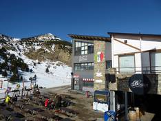
Orientation (Trail map, information boards, sign-postings) and safety in the ski resort Cerler
Trail map and overview maps
The piste map presents the Cerler ski area clearly and with plenty of information. All slopes and lifts are indicated. However, the lifts could be listed in more detail.
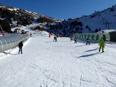
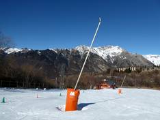
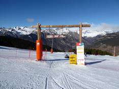
Information boards and sign-postings on the slopes
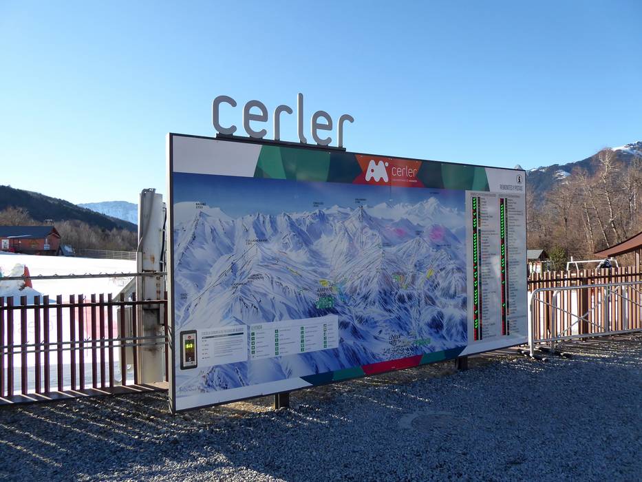
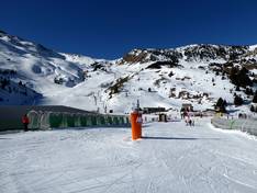
At the entry points in Cerler and Ampriu, you will find large information boards with a piste map and up-to-date daily information. There are also piste maps available within the ski area itself. All slopes are well signposted and clearly marked, so you can always find your way even in poor visibility or fog.
Trail map

Cerler Season 2025/2026
Top Orientation


13 strengths of this ski resort


Feedback for the Skiresort.info Team? Please use this form

Select specific criteria
Top evaluation criteria
Further evaluation criteria
Orientation (trail map, information boards, sign-postings)
Evaluation criteria for special interests
Feedback for the Skiresort.info Team? Please use this form
Test Reports
Tips for the ski holiday