Route planner
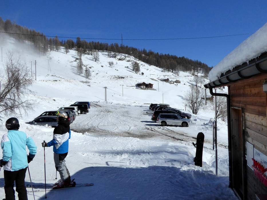
Access & on-site parking
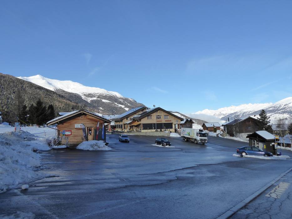
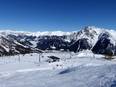
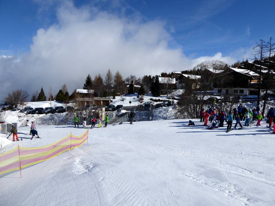
The Bürchen/Törbel ski area around the Moosalp is located in Valais in the southwest of Switzerland. The area can be reached by car from several directions. Typically, you travel to Visp and from there either drive directly up to Bürchen or first to Stalden and then up to Törbel. There is no direct car connection between Bürchen and Törbel during the winter months.
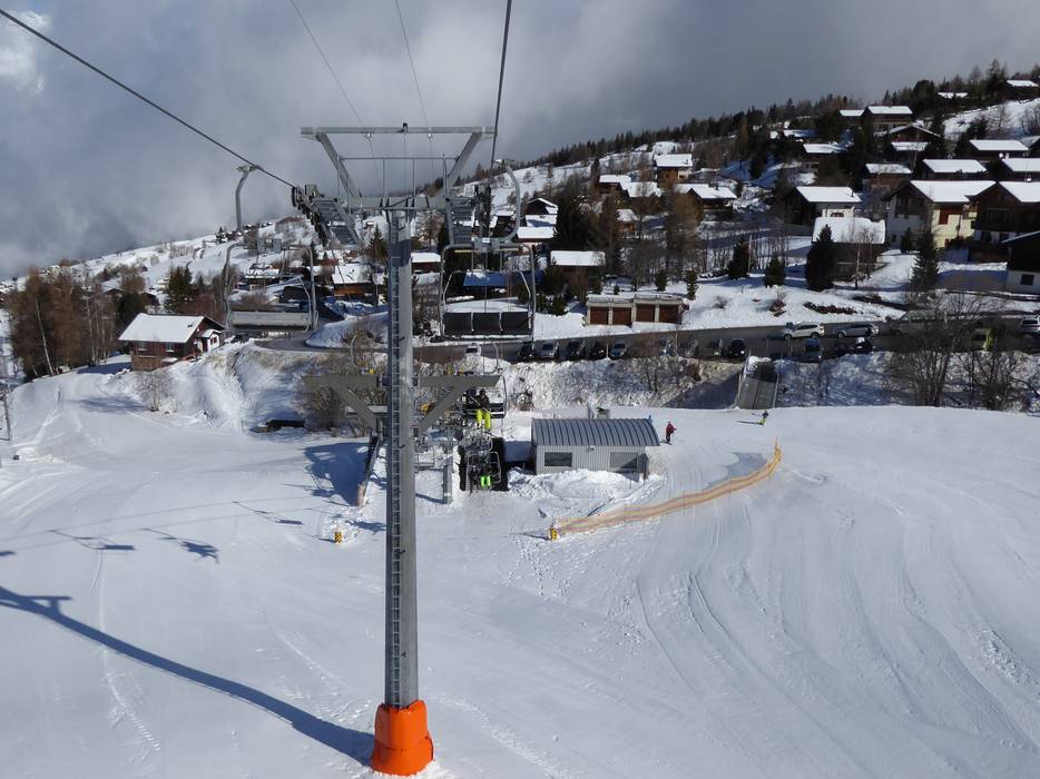
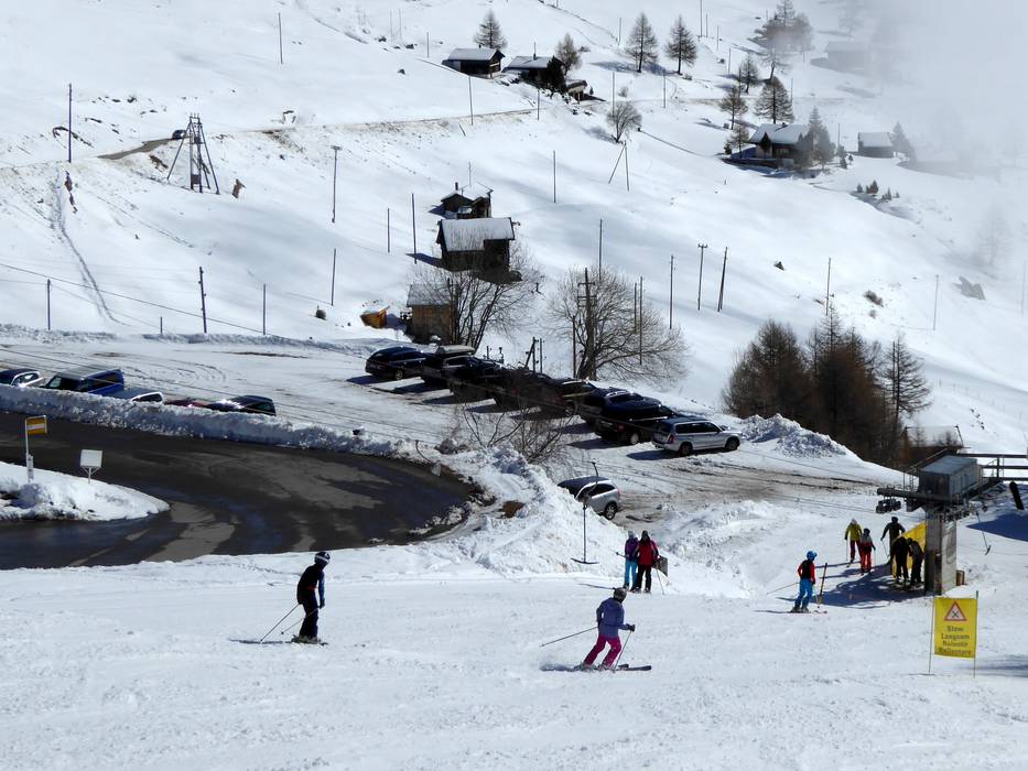
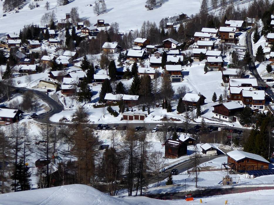
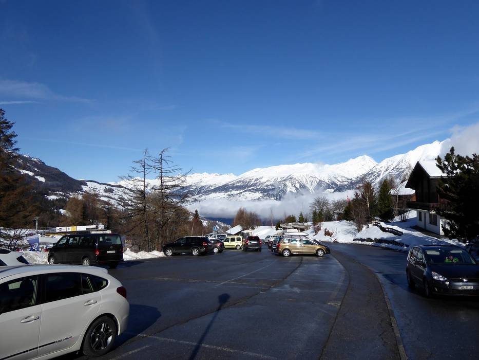
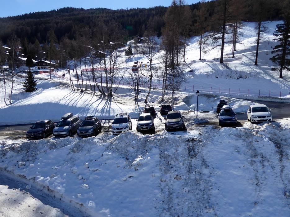
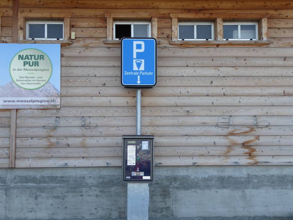
At the valley station near Kinderland Bürchen-Bodmen, there is a paid parking lot for 200 cars. The parking lot at the Moosalp-Express valley station has space for 120 cars and is also subject to a fee. Free parking is available in Törbel at the Törbeltallift. This parking lot has space for 70 vehicles.
From Germany: Drive via Basel–Bern–Thun–Kandersteg (Lötschberg car train)–Goppenstein–Visp or via Zurich–towards Gotthard–Furka car train (Realp–Oberwald)–continue through the Goms towards Visp.
From Western Switzerland: Drive on the A9 from Lake Geneva towards Visp.
From Milan/Italy: Drive over the Simplon Pass, which is open all year round, or take the Brig–Iselle car train to Visp.
Winter Closure
The Furka Pass and Oberalp Pass are closed for winter. Access from the north and west is possible via the Furka car shuttle (Realp–Oberwald) or Lötschberg.
Access via
Mobility on-site
- Scheduled buses
- PostAuto connections from Stalden to Törbel as well as from Visp to Bürchen and up to Moosalp are available several times a day, but they are subject to a fee. Transport to Moosalp is carried out with a piste vehicle equipped with a passenger cabin, the Alpuschnaager.
Access via A8 Spiez-Interlaken, exit Spiez
73 km Distance - approx. 105 Minutes driving time
Destination Parking spaces - limited amount available, tarmac car park
- for a fee
Roads - Main street, Side road, Mountain road, well-developed, with significant incline
- Snow chains sometimes required by snowfall
- Road closure due to avalanches sometimes possible
Show route
82 km Distance - approx. 120 Minutes driving time
Destination Parking spaces - limited amount available, tarmac car park
- free of charge
Roads - Main street, Side road, Mountain road, well-developed, with significant incline
- Snow chains sometimes required by snowfall
- Road closure due to avalanches sometimes possible
Show route Access via A2, exit 40 Göschenen
93 km Distance - approx. 126 Minutes driving time
Destination Parking spaces - limited amount available, tarmac car park
- for a fee
Roads - Main street, Side road, Mountain road, well-developed, with significant incline
- Snow chains sometimes required by snowfall
- Road closure due to avalanches sometimes possible
Show route
102 km Distance - approx. 139 Minutes driving time
Destination Parking spaces - limited amount available, tarmac car park
- free of charge
Roads - Main street, Side road, Mountain road, well-developed, with significant incline
- Snow chains sometimes required by snowfall
- Road closure due to avalanches sometimes possible
Show route Access via A9 Autoroute du Rhône, end of the motorway at Sierre
30 km Distance - approx. 36 Minutes driving time
Destination Parking spaces - limited amount available, tarmac car park
- for a fee
Roads - Main street, Side road, Mountain road, well-developed, with significant incline
- Snow chains sometimes required by snowfall
- Road closure due to avalanches sometimes possible
Show route
46 km Distance - approx. 53 Minutes driving time
Destination Parking spaces - limited amount available, tarmac car park
- free of charge
Roads - Main street, Side road, Mountain road, well-developed, with significant incline
- Snow chains sometimes required by snowfall
- Road closure due to avalanches sometimes possible
Show route Access via E62 Strada del Sempione, Domodossola
86 km Distance - approx. 87 Minutes driving time
Destination Parking spaces - limited amount available, tarmac car park
- for a fee
Roads - Main street, Side road, Mountain road, well-developed, with significant incline
- Snow chains sometimes required by snowfall
- Road closure due to avalanches sometimes possible
Show route
95 km Distance - approx. 101 Minutes driving time
Destination Parking spaces - limited amount available, tarmac car park
- free of charge
Roads - Main street, Side road, Mountain road, well-developed, with significant incline
- Snow chains sometimes required by snowfall
- Road closure due to avalanches sometimes possible
Show route More Entry point(s) to the ski resort
Destination Parking spaces - usually enough available, tarmac car park
- for a fee

Access to ski resort

Town/village close to ski resort

Traffic Junction
All information is supplied without guarantee
The maps are provided by Google with the following information: „These directions are for planning purposes only. You may find that construction projects, traffic, weather, or other events may cause conditions to differ from the map results, and you should plan your route accordingly. You must obey all signs or notices regarding your route.“
Please wait and do not close window. File will be transmitted.

