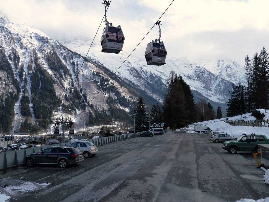
2 km Distance - approx. 4 Minutes driving time
Destination - Route Henriette d'Angeville, 74400 Chamonix-Mont-Blanc, France
- Ideal entry for day visitors
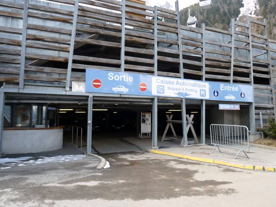
- View on Google Maps
- usually enough available, underground car park, tarmac car park
- for a fee, € 8,- / per day
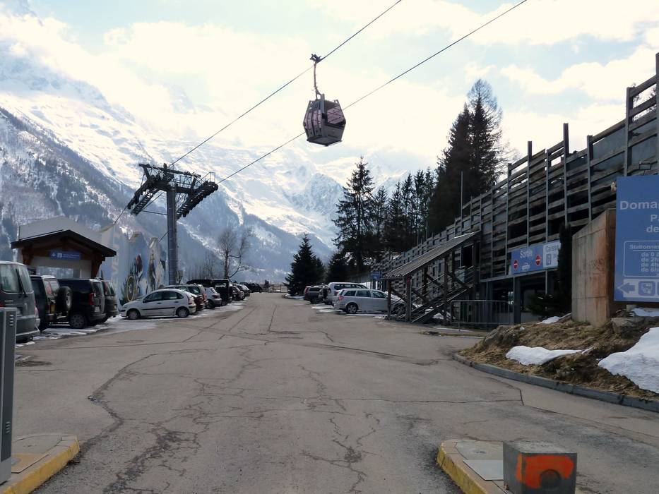
- Main street, Side road, well-developed, without significant incline
- Snow chains almost never required by snowfall
- Road closure due to avalanches extremely unlikely
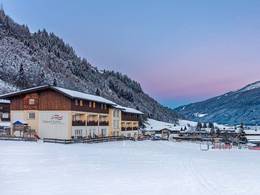
 Access to ski resort
  Town/village close to ski resort
  Traffic Junction