69 km Distance - approx. 82 Minutes driving time
Destination - Frazione Bonda, 13021 Alagna Valsesia, Italy
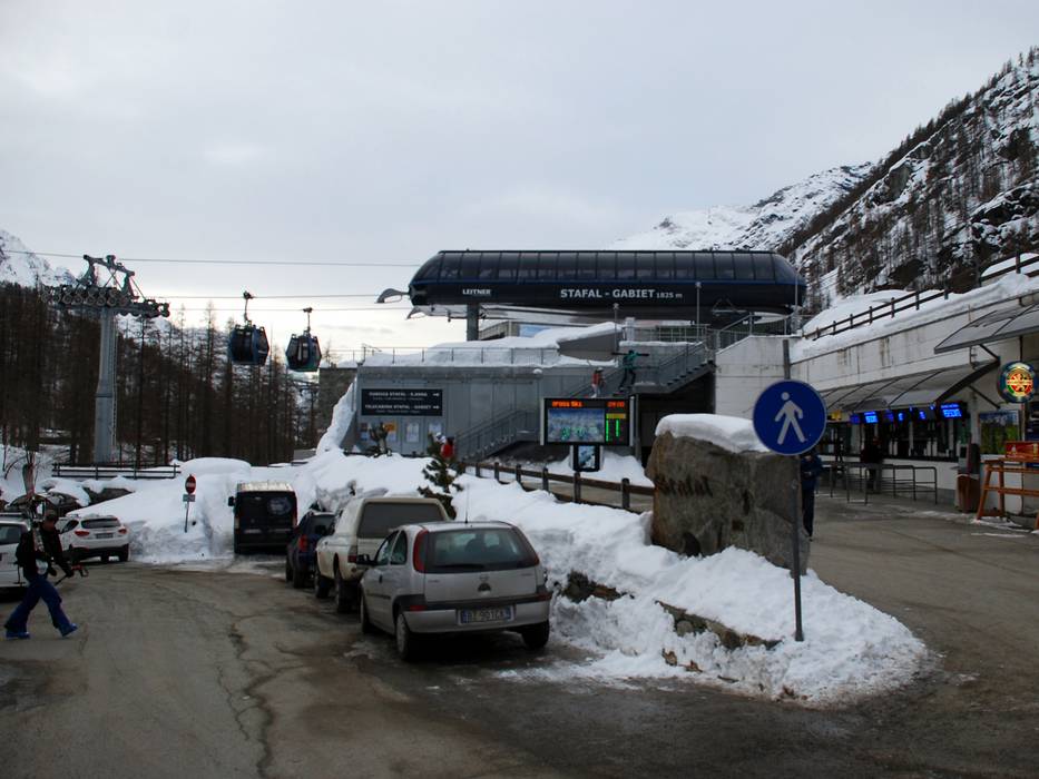
- Ideal entry for day visitors
- View on Google Maps
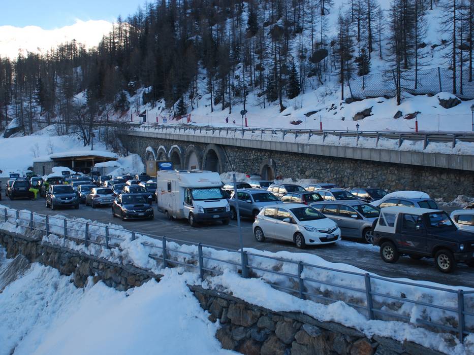
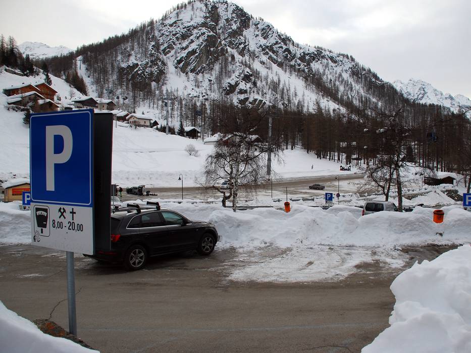
- limited amount available, tarmac car park, gravel car park
- free of charge
- Side road, not developed
- Snow chains never actually required by snowfall
- Road closure due to avalanches extremely unlikely
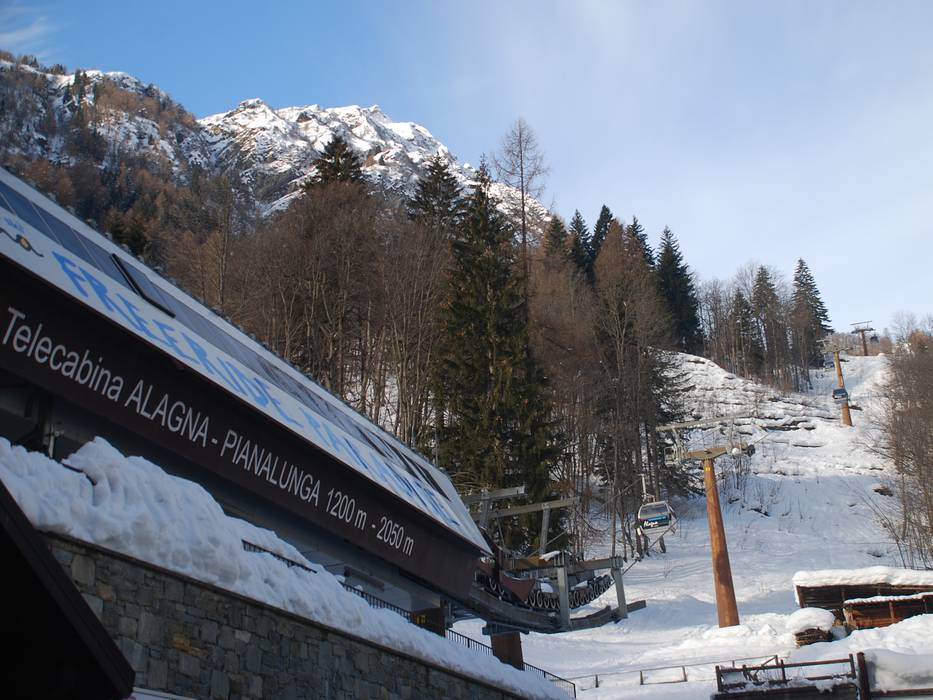
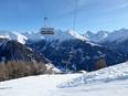
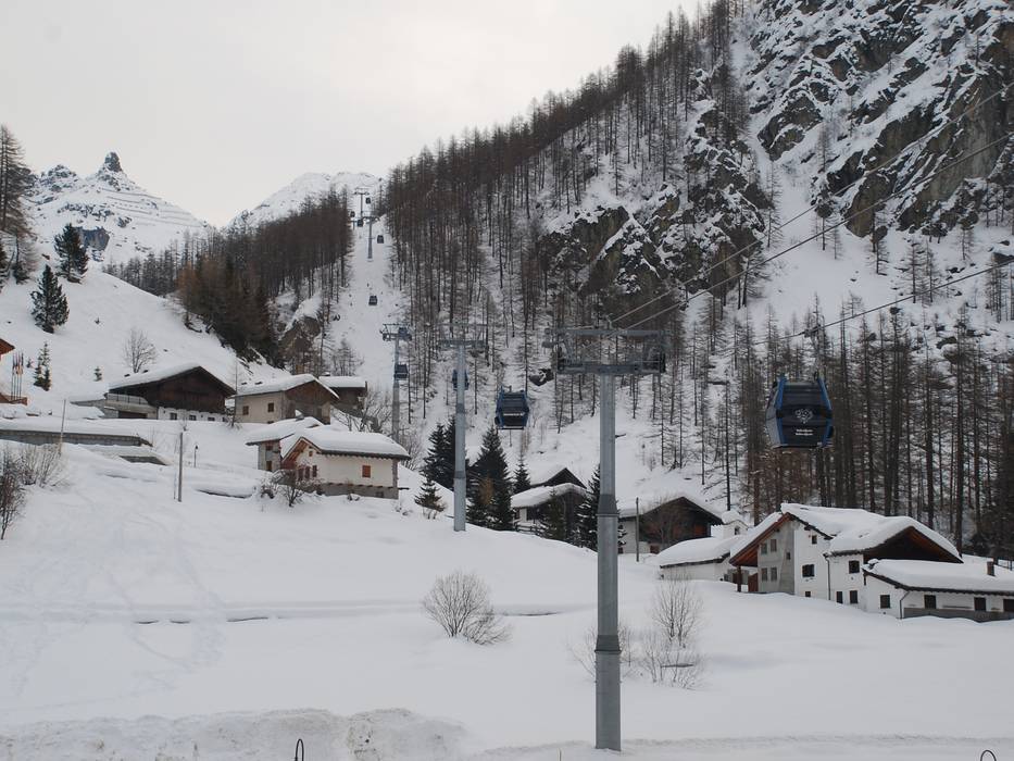
 Access to ski resort
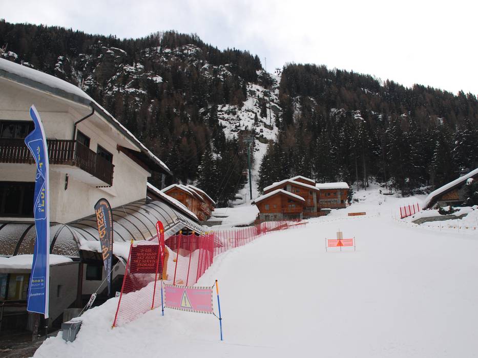
  Town/village close to ski resort
  Traffic Junction
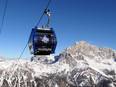