France
Select region
close
Countries
Old Regions
Departments
Districts
Tourism region

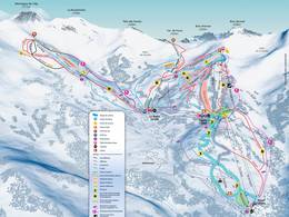
Piste map/trail map Barcelonnette

Piste map/trail map of the ski resort near Barcelonnette and of nearby ski resorts

Barcelonnette

9.0 km from the centre of the village to the ski resort
Piste map/trail map:
Espace Lumière – Pra Loup/​Val d’Allos

5.0 km from the centre of the village to the ski resort
Piste map/trail map:
Super Sauze

21.0 km from the centre of the village to the ski resort
Piste map/trail map:
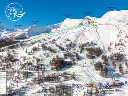
Sainte-Anne la Condamine – La Condamine-Châtelard

centre of the village to the ski resort
Piste map/trail map:
Val d'Oronaye – Larche

Piste maps/trail maps around Barcelonnette


Feedback for the Skiresort.info Team? Please use this form »
Tips for the ski holiday