Ski resorts Italy


Route planner Cortina d'Ampezzo
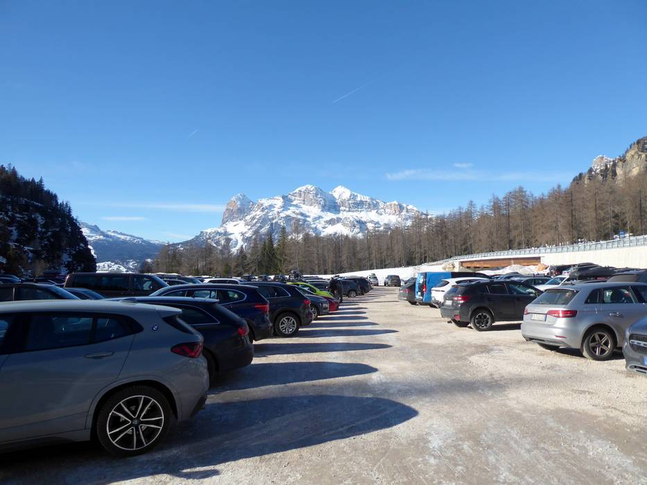
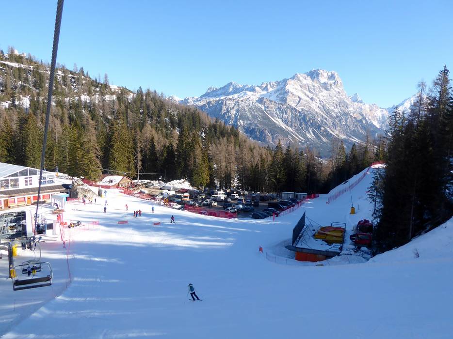
Access Cortina d'Ampezzo & on-site parking
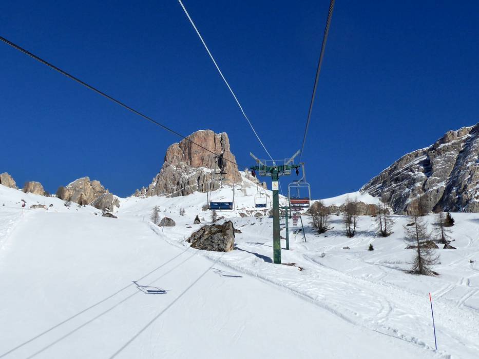
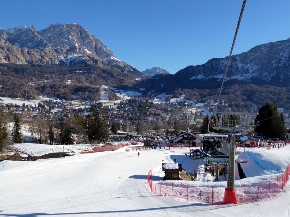
The ski resort of Cortina d’Ampezzo is situated in the middle of the Dolomites, in the province of Belluno. It is just 44 kilometres from the Austrian border and 160 kilometres from Venice. The nearest motorways are relatively far away and you need to drive over mountain roads and passes to reach Cortina d’Ampezzo. Some car parks are free of charge, but fees apply for parking in the town. There are lots of entry points to the extensive ski resort. Winter Closure
All passes around Cortina d’Ampezzo are kept open in winter and there are no winter closures.
Access via
- Brenner Autobahn, Exit Brixen/Bressanone-Pustertal
82 km approx. 89 min » - A27 Autostrada d´Alemagna, Exit Ponte Nelle Alpi
57 km approx. 73 min » - Brenner Autobahn, Exit Klausen-Groeden
68 km approx. 88 min » - A10 Tauernautobahn, Ausfahrt Lendorf (Knoten Spittal)
137 km approx. 136 min »
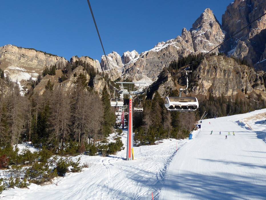
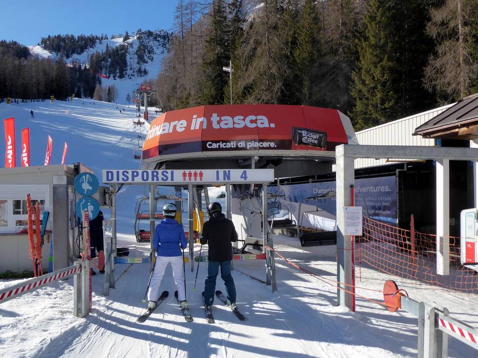
Mobility on-site
- Comprehensive ski bus network
- Scheduled buses
- Ski buses run at 15-minute intervals between the base stations in Cortina d’Ampezzo.
Access via Brenner Autobahn, Exit Brixen/Bressanone-Pustertal
82 km Distance - approx. 89 Minutes driving time
Destination - Rio Gere, 32043 Cortina d'Ampezzo, Italy
- Ideal entry for day visitors
- View on Google Maps
- usually enough available, gravel car park
- free of charge
- Mountain road, well-developed

85 km Distance - approx. 87 Minutes driving time
Destination - Via dello Stadio, 12, 32043 Cortina d'Ampezzo, Italy
- Ideal entry for day visitors
- View on Google Maps
- usually enough available, tarmac car park
- for a fee
- Mountain road, well-developed

Access via A27 Autostrada d´Alemagna, Exit Ponte Nelle Alpi
57 km Distance - approx. 73 Minutes driving time
Destination - Via del Mercato, 14, 32043 Cortina d'Ampezzo, Italy
- Ideal entry for day visitors
- View on Google Maps
- limited amount available, gravel car park
- free of charge

58 km Distance - approx. 69 Minutes driving time
Destination - Via dello Stadio, 12, 32043 Cortina d'Ampezzo, Italy
- Ideal entry for day visitors
- View on Google Maps
- usually enough available, tarmac car park
- for a fee
- Mountain road, well-developed
60 km Distance - approx. 69 Minutes driving time
Destination - Località Lacedel, 1, 32043 Cortina d'Ampezzo, Italy
- Ideal entry for day visitors
- View on Google Maps
- usually enough available, tarmac car park, gravel car park
- free of charge
 | Baby Socrepes, Cortina d'Ampezzo")
64 km Distance - approx. 74 Minutes driving time
Destination - Rio Gere, 32043 Cortina d'Ampezzo, Italy
- Ideal entry for day visitors
- View on Google Maps
- usually enough available, gravel car park
- free of charge
- Mountain road, well-developed
Access via Brenner Autobahn, Exit Klausen-Groeden
68 km Distance - approx. 88 Minutes driving time
Destination - Col Gallina, 32043 Cortina d'Ampezzo, Italy
- Ideal entry for day visitors
- View on Google Maps
- usually enough available, tarmac car park, gravel car park
- free of charge
- Mountain road, well-developed, with significant incline

Access via A10 Tauernautobahn, Ausfahrt Lendorf (Knoten Spittal)
137 km Distance - approx. 136 Minutes driving time
Destination - Rio Gere, 32043 Cortina d'Ampezzo, Italy
- Ideal entry for day visitors
- View on Google Maps
- usually enough available, gravel car park
- free of charge
- Mountain road, well-developed
More Entry point(s) to the ski resort
Destination
- Via Ria de Zeto, 10, 32043 Cortina d'Ampezzo, Italy
- Ideal entry for day visitors
- View on Google Maps
- limited amount available, tarmac car park
- for a fee
")
Destination
- Son Dei Prade, 32043 Cortina d'Ampezzo, Italy
- Ideal entry for day visitors
- View on Google Maps
- limited amount available, gravel car park
- free of charge
 | Olympia")
Destination
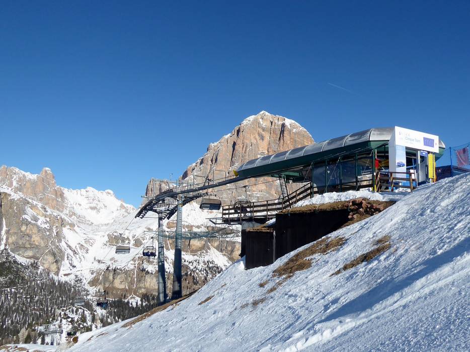
- Cinque Torri Piazzale, 32043 Cortina d'Ampezzo, Italy
- Ideal entry for day visitors
- View on Google Maps
- usually enough available, tarmac car park, gravel car park
- free of charge
")
Destination
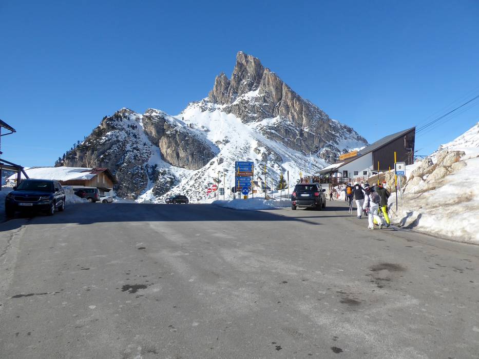
- Passo Falzarego, 32043 Cortina d'Ampezzo, Italy
- Entry suitable for day visitors
- View on Google Maps
- usually enough available, tarmac car park
- for a fee

Destination
- Località Rumerlo, 32043 Cortina d'Ampezzo, Italy
- Ideal entry for day visitors
- View on Google Maps
- usually enough available, tarmac car park, gravel car park
- free of charge

 Access to ski resort
  Town/village close to ski resort
  Traffic Junction
 All information is supplied without guarantee
The maps are provided by Google with the following information: „These directions are for planning purposes only. You may find that construction projects, traffic, weather, or other events may cause conditions to differ from the map results, and you should plan your route accordingly. You must obey all signs or notices regarding your route.“
Feedback for the Skiresort.info Team? Please use this form »
Book this ski resort

Tips for the ski holiday


