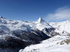
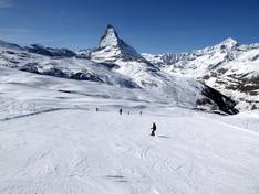
Orientation (Trail map, information boards, sign-postings) and safety in the ski resort Zermatt/Breuil-Cervinia/Valtournenche – Matterhorn
Trail map and overview maps
The piste map provides an excellent overview of the Zermatt/Breuil-Cervinia/Valtournenche ski area, showing all lifts and cable cars. All pistes are labeled with their names. The lifts do not have names, and the type of lift is not clearly indicated. On the reverse side, the summer ski area Matterhorn glacier paradise at Klein Matterhorn is shown.
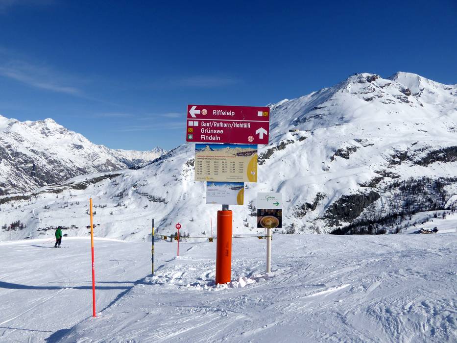
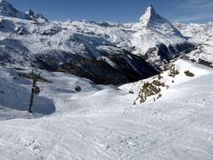
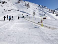
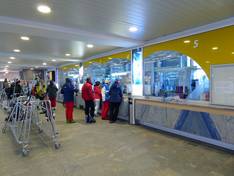
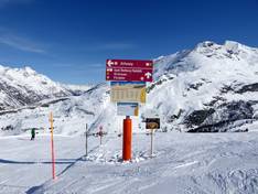
Information boards and sign-postings on the slopes
The slopes in Zermatt, Breuil-Cervinia, and Valtournenche are all signposted. At the valley stations, you will often find large piste maps with up-to-date information about the individual lifts and slopes. In some places, monitors with information are also installed at the entry points.
Trail map
Zermatt/Breuil-Cervinia/Valtournenche Season 2025/2026