
Evaluated by Skiresort.info, the world's largest test portal for ski resorts.
The evaluation is done as follows
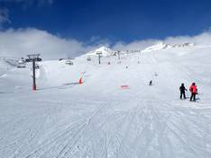
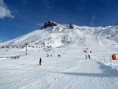
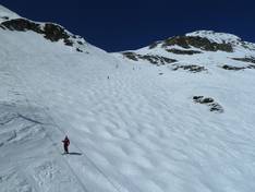
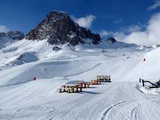
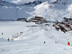
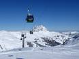
Orientation (Trail map, information boards, sign-postings) and safety in the ski resort Tignes/Val d'Isère
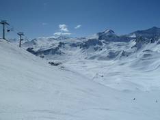
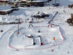
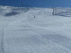
Trail map and overview maps
The piste map provides a very good representation of the Tignes/Val d'Isère ski area. All ski lifts and pistes are clearly marked. However, it only differentiates between gondola lifts, chairlifts, drag lifts, and conveyor belts. The exact details are missing. Some parts of the ski area are shown in more detail.
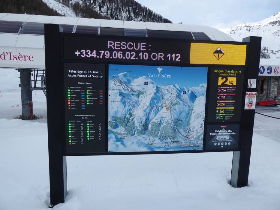
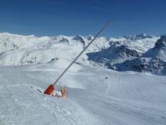
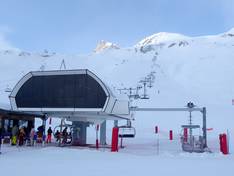
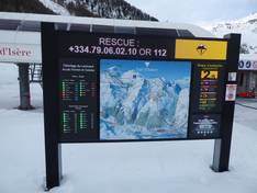
Information boards and sign-postings on the slopes
The information boards in the ski area are very clear and helpful. At some stations, you will find digital displays showing operating status, weather information, and snow depths. Additionally, you can download the app with live information.
Trail map

Tignes/Val d'Isère Season 2025/2026
")
Glacier La Grande Motte - Summer Skiing (Tignes) Season 2025
")
Glacier du Pisaillas - Summer Skiing (Val d'Isère) Season 2025
Top Orientation


17 strengths of this ski resort


Feedback for the Skiresort.info Team? Please use this form

Select specific criteria
Top evaluation criteria
Further evaluation criteria
Orientation (trail map, information boards, sign-postings)
Evaluation criteria for special interests
Feedback for the Skiresort.info Team? Please use this form
Test Reports

Tips for the ski holiday