Switzerland
Select region
close
Continents
Countries
Greater Regions
Cantons

Directions Rochers de Naye – Montreux

Directions to the ski resort Rochers de Naye – Montreux

Route planner, detailed directions, entry point(s)

Route planner

Access & on-site parking

Since the ski area can only be reached by the Rochers de Naye cog railway, you can board directly at the train station. Unfortunately, parking there is a bit difficult, so you can also board the cog railway in the towns of Glion or Caux.

Route Planner to the ski resort Rochers de Naye – Montreux

Please enter a start address and calculate route:


Mobility on-site
  • Ski buses
  • Scheduled buses

Access via Motorway A9 Lausanne-Martigny, exit Montreux
3 km Distance - approx. 7 Minutes driving time
Destination Parking spaces
  • none
Roads
  • Main street, well-developed
  • Snow chains never actually required by snowfall
  • No chance of road closure due to avalanches
Show route
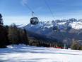
Access to ski resort
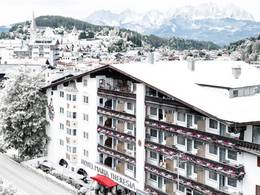
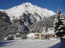
Town/village close to ski resort
Traffic Junction

All information is supplied without guarantee
The maps are provided by Google with the following information: „These directions are for planning purposes only. You may find that construction projects, traffic, weather, or other events may cause conditions to differ from the map results, and you should plan your route accordingly. You must obey all signs or notices regarding your route.“


Feedback for the Skiresort.info Team? Please use this form
Book this ski resort
Tips for the ski holiday