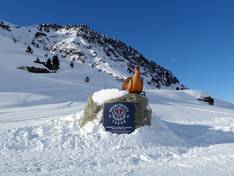
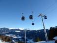
Orientation (Trail map, information boards, sign-postings) and safety in the ski resort Les 3 Vallées – Val Thorens/Les Menuires/Méribel/Courchevel
Trail map and overview maps
The piste map is very clear given the size of the ski area. Each resort offers its own detailed piste map, with all three valleys shown on the front. The connections between the valleys are clearly marked. Slopes and lifts are labeled with their names. Special zones for beginners, children, freeriders, and snowparks are also indicated. Mountain restaurants are marked with pictograms, but no further information is provided. Some conveyor belts and practice lifts are not shown.
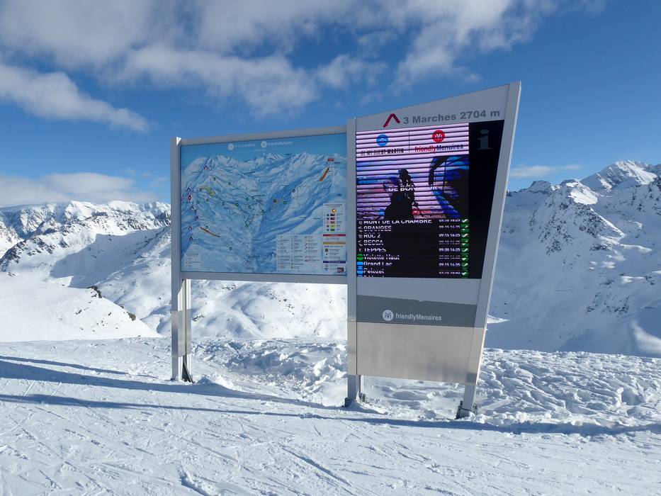
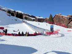
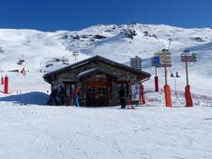
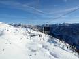
Information boards and sign-postings on the slopes
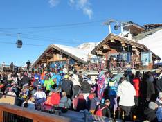
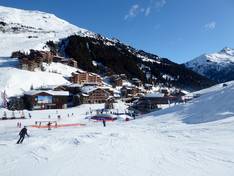
Orientation is made easy in the Les 3 Vallées ski area. Precisely because the ski area is so large, clear signage is a priority. At the points where you can switch between valleys, there are also notices indicating the likelihood of weather-related closures of the connections. At the valley and mountain stations, you will find modern piste maps with real-time information on lift operations.
Trail map
Les 3 Vallées Season 2025/2026
Courchevel Season 2025/2026
Méribel Season 2025/2026
Val Thorens/ Orelle Season 2025/2026
Les Menuires & Saint Martin de Belleville Season 2025/2026