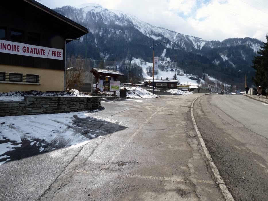
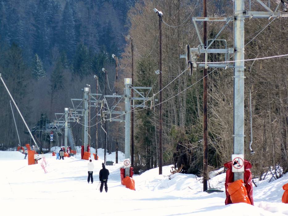
1 km Distance - approx. 1 Minutes driving time
Destination - Avenue des Alpages, 74310 Les Houches, France
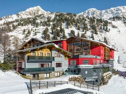
- Ideal entry for day visitors
- View on Google Maps
- limited amount available, tarmac car park
- free of charge
- Side road, well-developed, without significant incline
- Snow chains almost never required by snowfall
- Road closure due to avalanches extremely unlikely
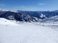
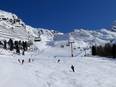
 Access to ski resort
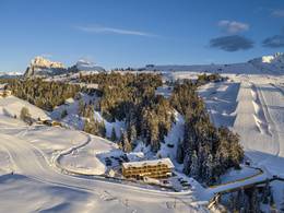
  Town/village close to ski resort
  Traffic Junction