
11 km Distance - approx. 11 Minutes driving time
Destination - Via Nova 76C, 7017 Flims, Switzerland
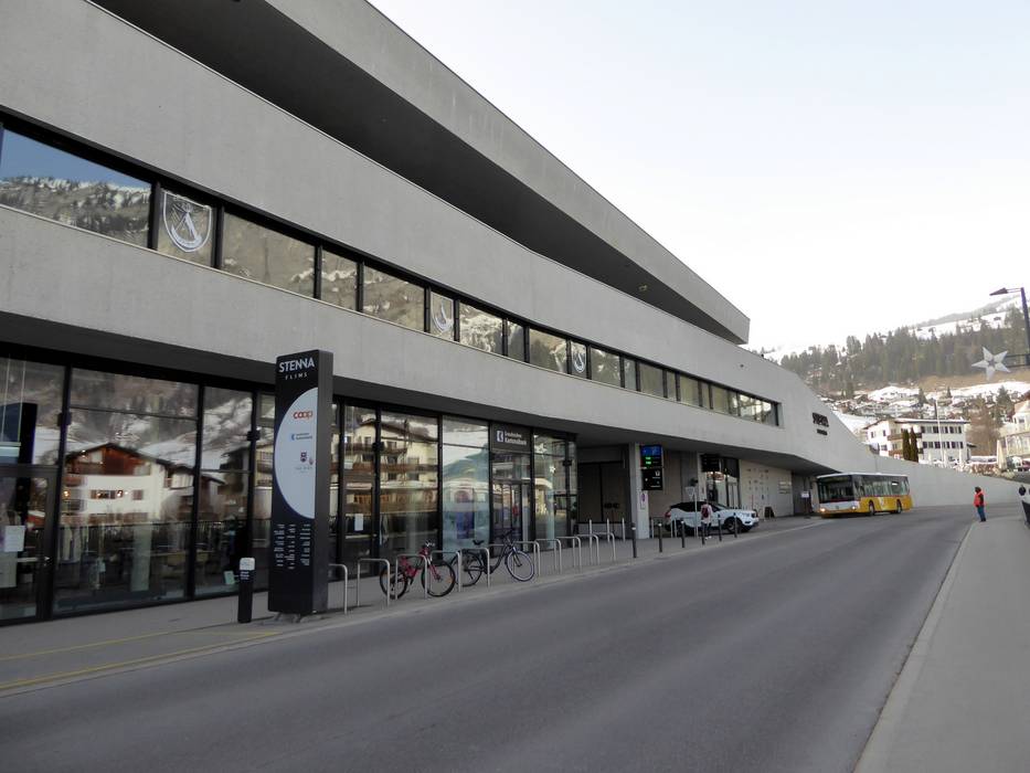
- Ideal entry for day visitors
- View on Google Maps
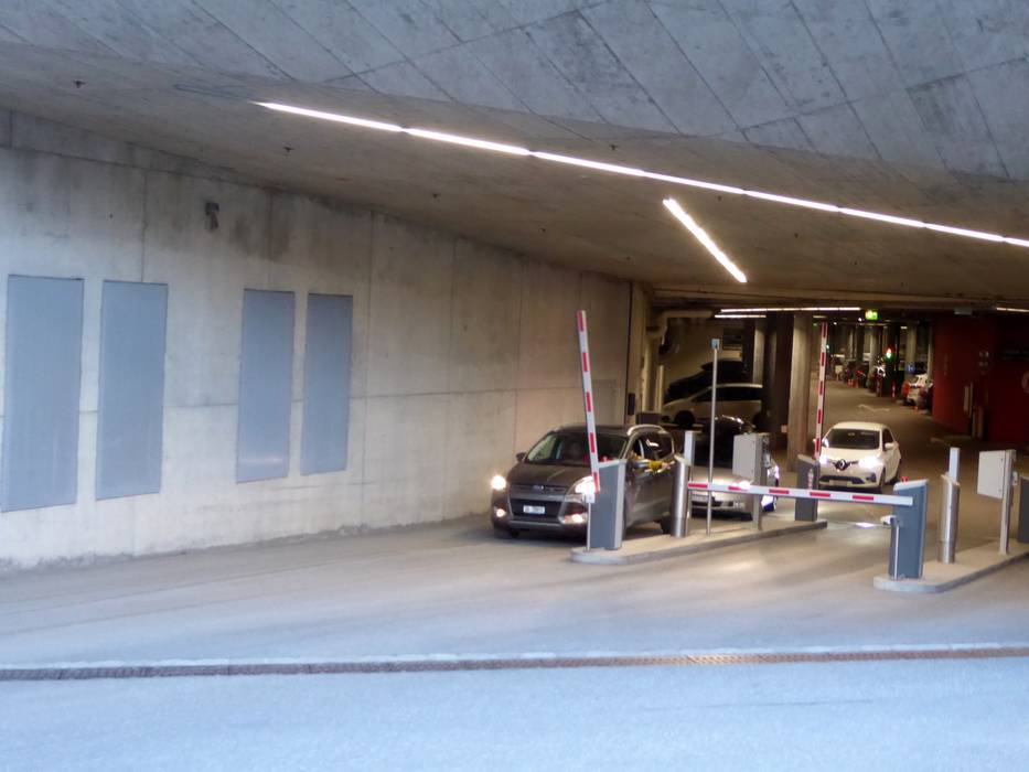
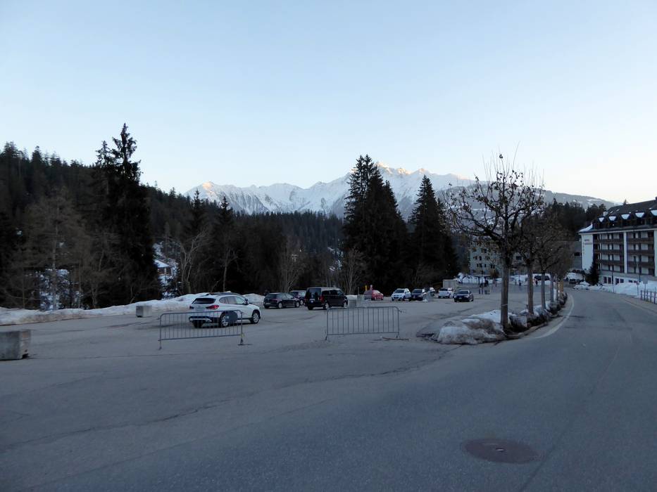
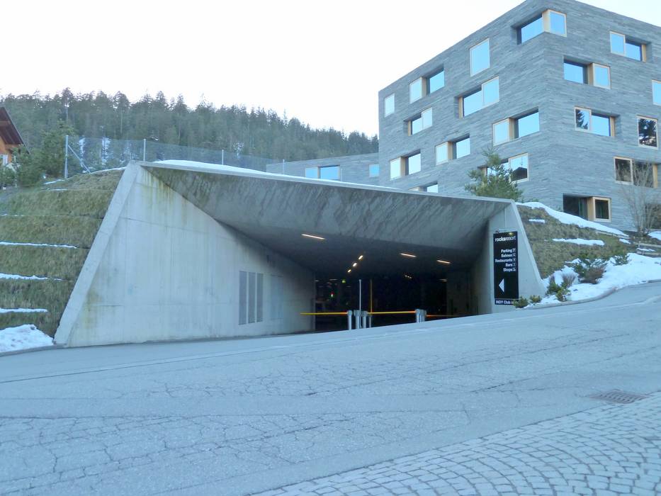
- usually enough available, covered car park, tarmac car park
- for a fee
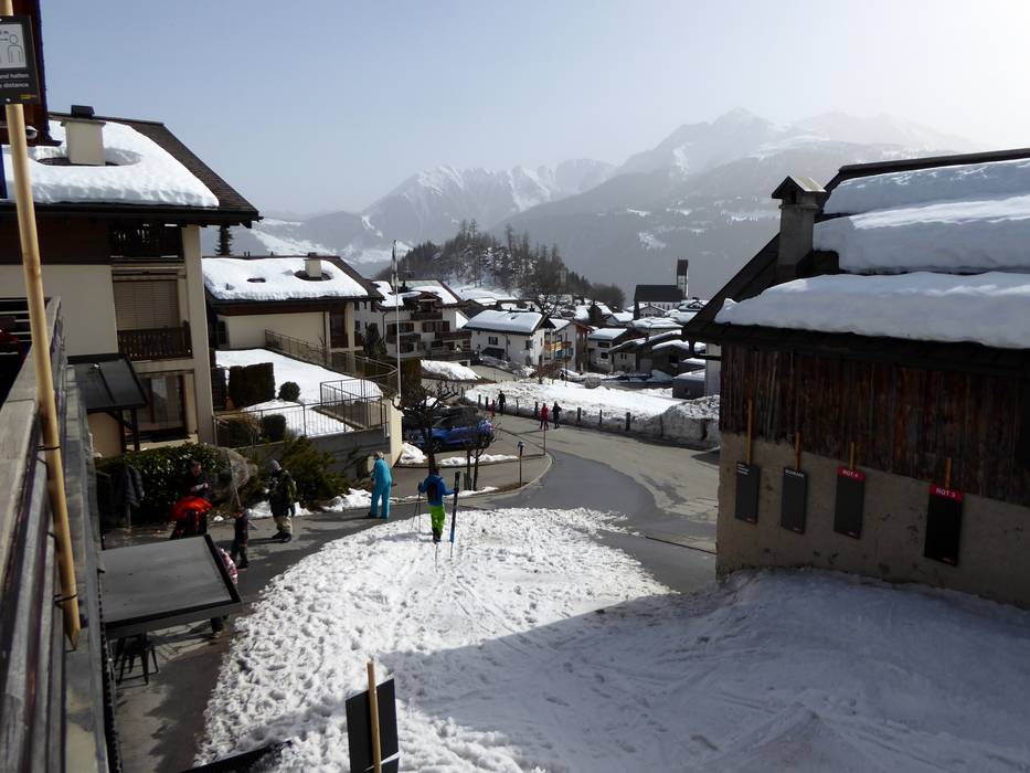
- Main street, Mountain road, well-developed, with significant incline
- Snow chains never actually required by snowfall
- Road closure due to avalanches unlikely
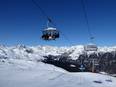
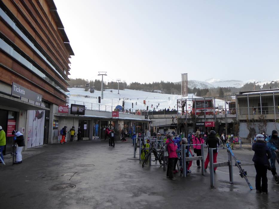
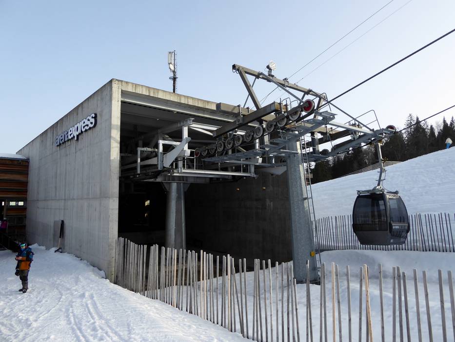
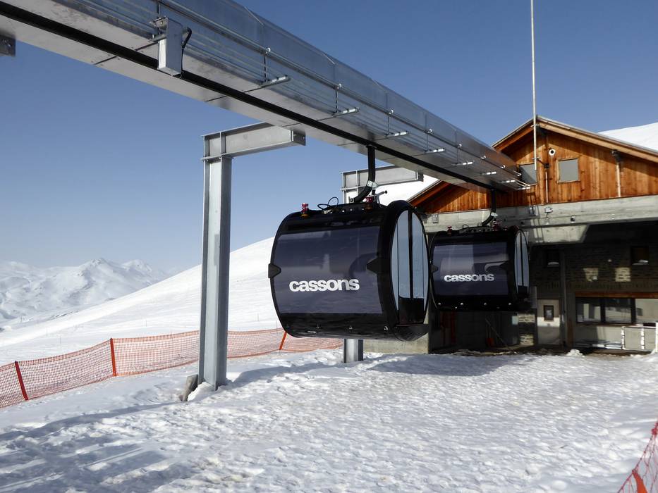
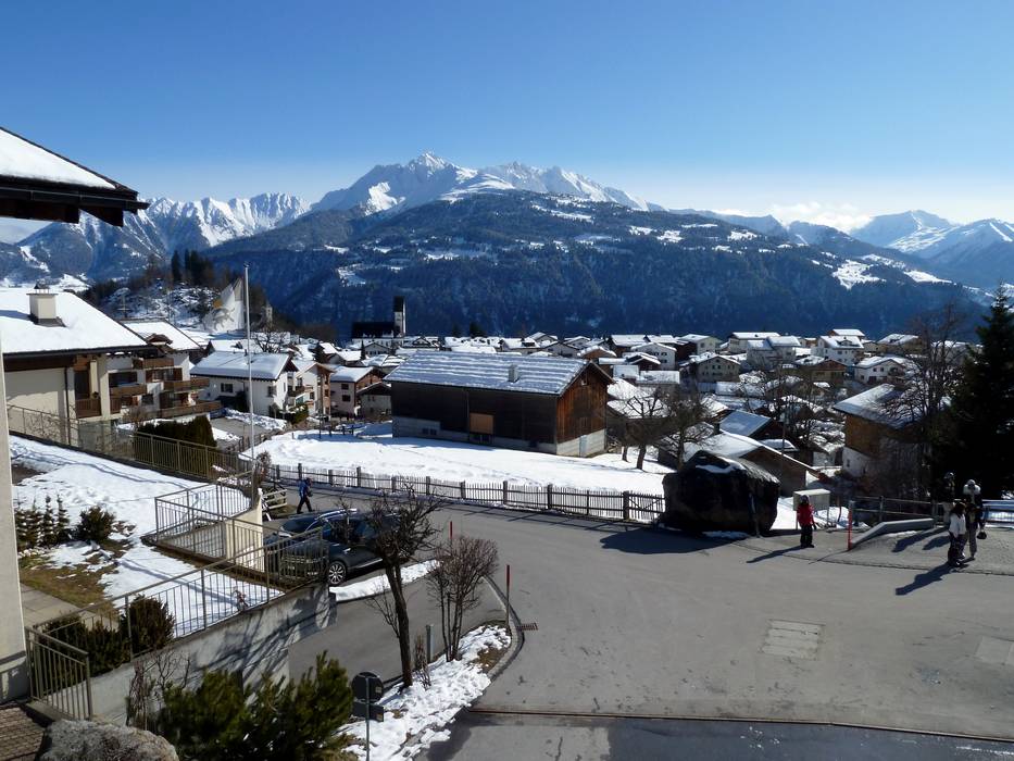
 Access to ski resort
  Town/village close to ski resort
  Traffic Junction
