98 km Distance - approx. 90 Minutes driving time
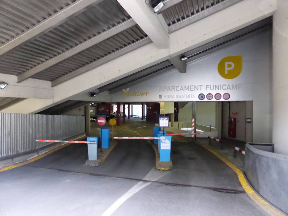
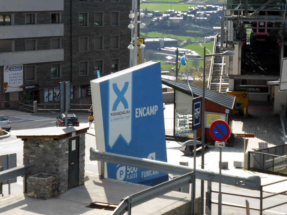
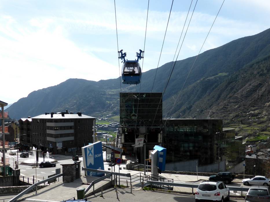
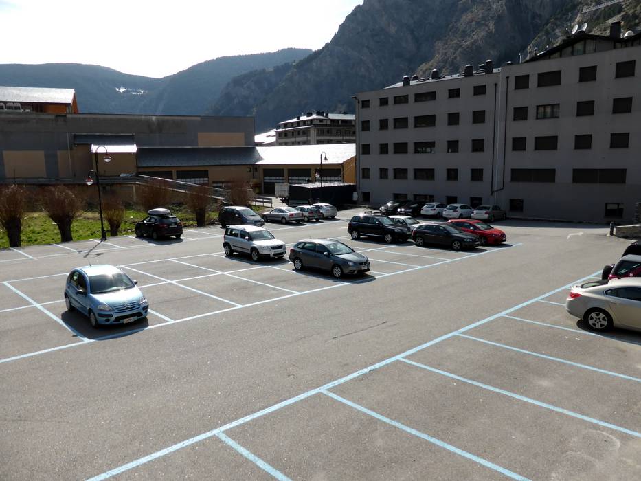
Destination - Camí Funicamp, AD200 Encamp, Andorra
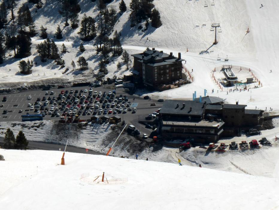
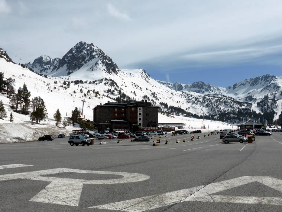
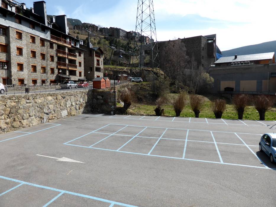
- Ideal entry for day visitors
- View on Google Maps
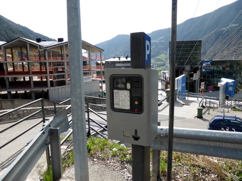
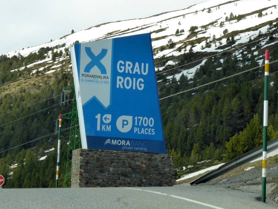
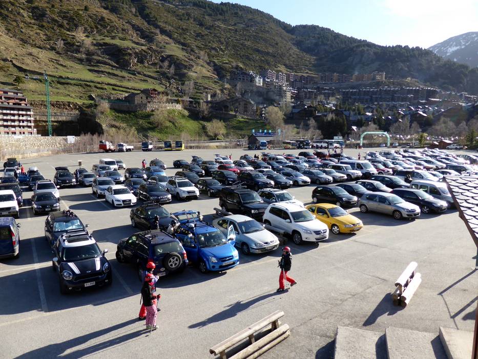
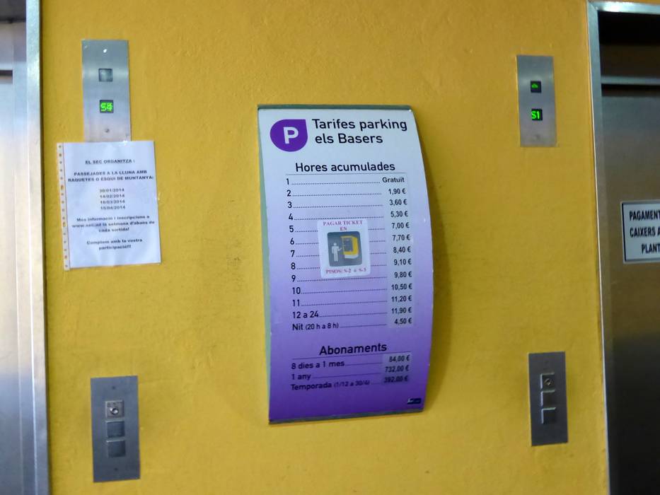
- limited amount available, underground car park, tarmac car park
- for a fee
- Highway, Main street, well-developed, with significant incline
- Snow chains sometimes required by snowfall
- Road closure due to avalanches unlikely
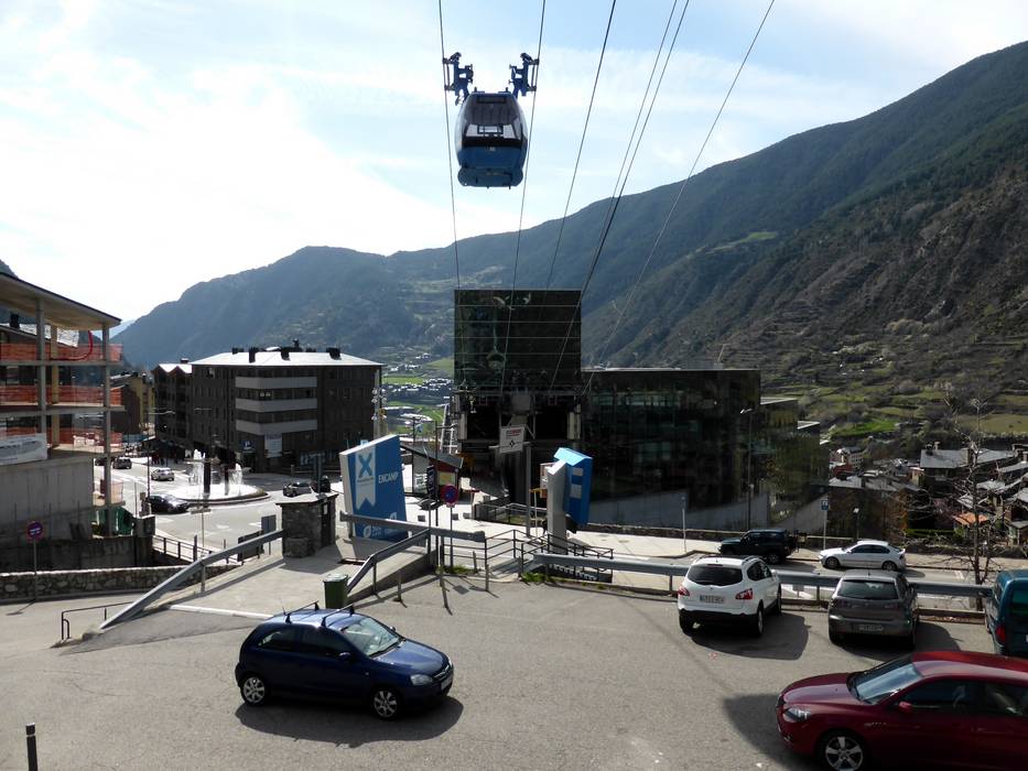
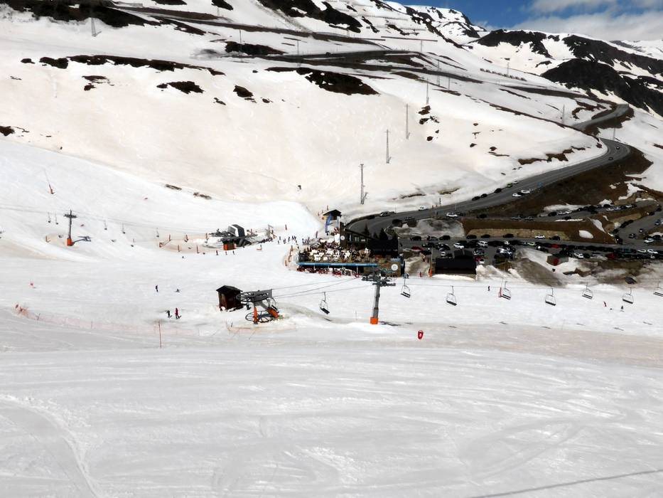
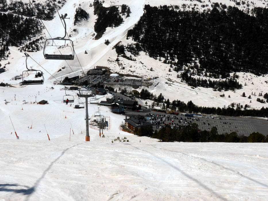
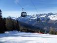
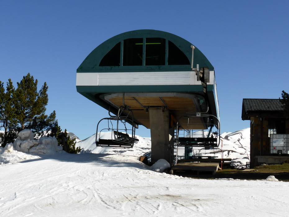
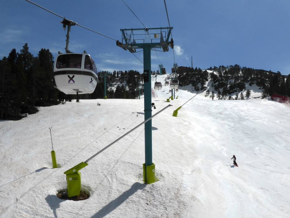
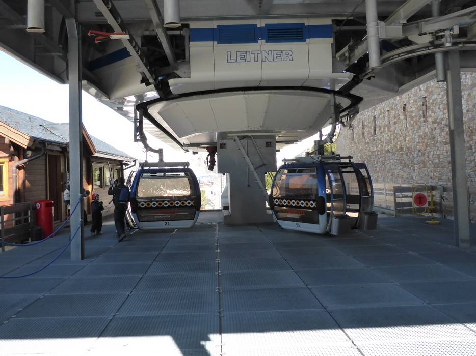
 Access to ski resort
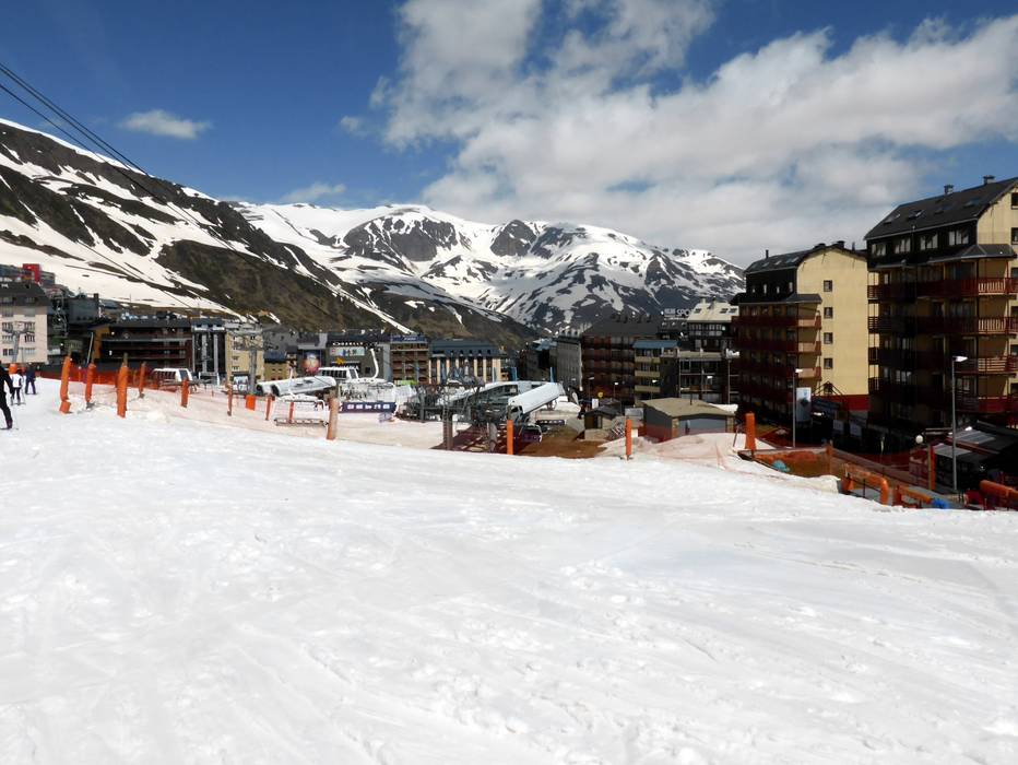
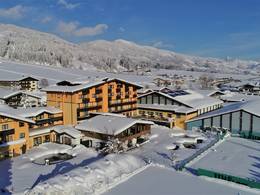
  Town/village close to ski resort
  Traffic Junction
