 1/8
1/8 Ski slopes Grand Tourmalet/Pic du Midi – La Mongie/Barèges
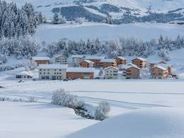
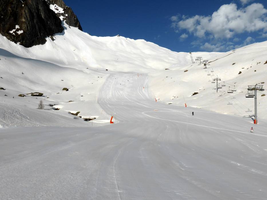
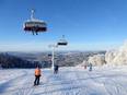
Due to the large expanse from La Mongie at 1800 m to Barèges at 1250 m, the ski area is very diverse. In total, there are about 70 different slopes. Most of them run over treeless terrain. In Ayre Barèges, there are forest descents. The center of the ski area is the Col du Tourmalet. The highest road pass in the French Pyrenees became famous mainly through the Tour de France. In winter, it is closed and the ski slope leads over the highest point. A special highlight is the well-known Pic du Midi. At 2877 m, there is an observatory and the panorama is impressive. A cable car leads up from La Mongie. However, there are no official slopes from the Pic du Midi, only unofficial freeride runs.
Runs/slopes
Total: 100 km
| Easy | 58 km |
| Intermediate | 35 km |
| Difficult | 7 km |
Worth knowing
- Artificial snow-making
95 % of the slopes have snow-making capabilities - Valley run available
Run location
- above tree line
- under tree line
Longest run
- Mountain station Coume Lounque - Tournaboup · Length 6 km · Elevation difference 910 m
Most difficult run
- Sources · Length 1.3 km · Elevation difference 390 m
At the Prade Verde chairlift
Slope tip
- Bergers
At Pic 4 Termes with a view of the Pic du Midi
Snowparks
- Snow park/Fun park
- No halfpipe


Towns/villages at the ski resort (distance from town center):
La Mongie (0 km), Barèges (3.2 km), Luz-Saint-Sauveur (11 km), Tournaboup (0 km) Towns/villages at the ski resort
La Mongie (0 km), Barèges (3.2 km), Luz-Saint-Sauveur (11 km), Tournaboup (0 km) Towns/villages at the ski resort
Feedback for the Skiresort.info Team? Please use this form
Book this ski resort
Test Reports
Tips for the ski holiday