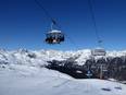
Orientation (Trail map, information boards, sign-postings) and safety in the ski resort Corvatsch/Furtschellas
Trail map and overview maps
The Corvatsch/Furtschellas ski area is very well presented with its slopes, lifts, dining options, and additional information. On the reverse side, you will find the map of the Diavolezza/Lagalb ski area.
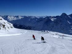
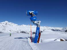
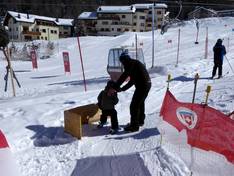
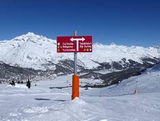
Information boards and sign-postings on the slopes
At the valley stations, mid-stations, and mountain station, information boards display the current slope and lift status as well as the avalanche risk level. The signage on the slopes is good, making it easy to find your way around. However, at some junctions, there are no signs. The different slopes are marked with blue (easy), red (intermediate), or black (difficult) slope signs according to their level of difficulty.
Trail map
Corvatsch/Furtschellas/Diavolezza/Lagalb Season 2025/2026