Route planner
Access & on-site parking
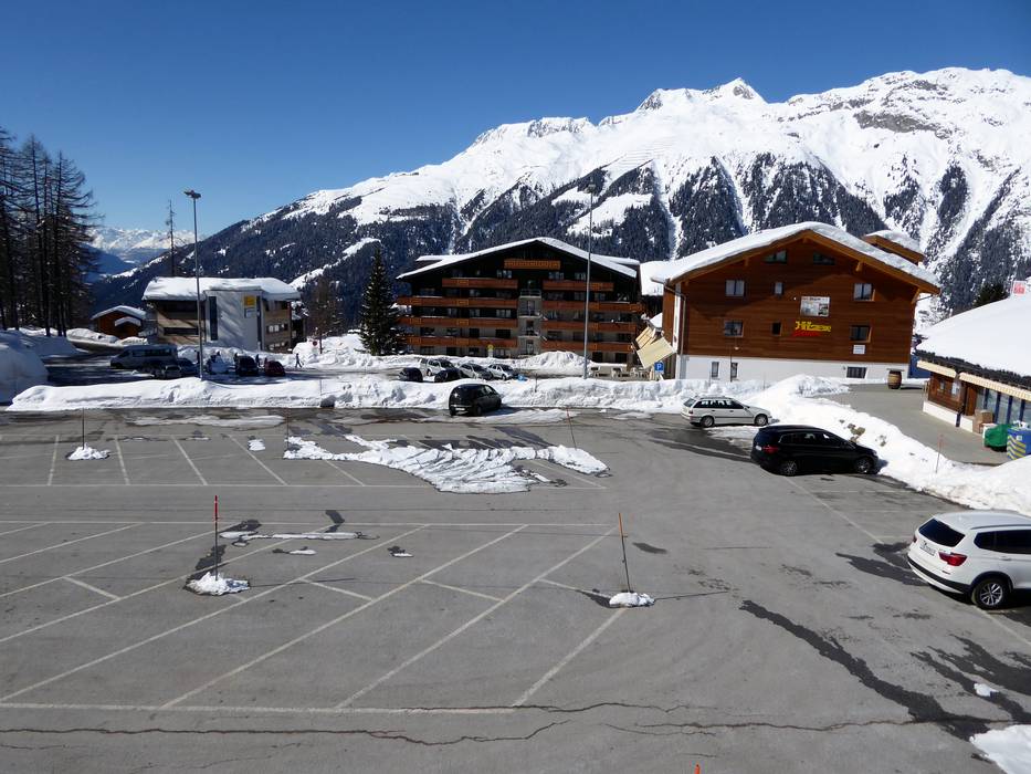
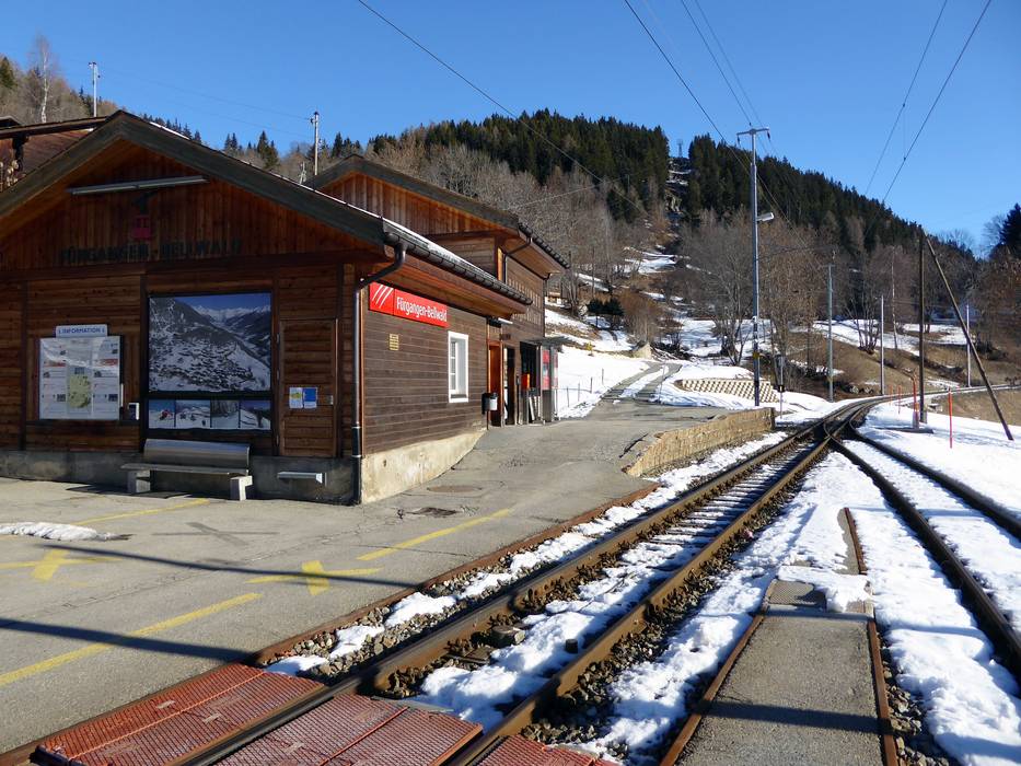
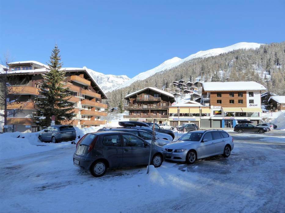
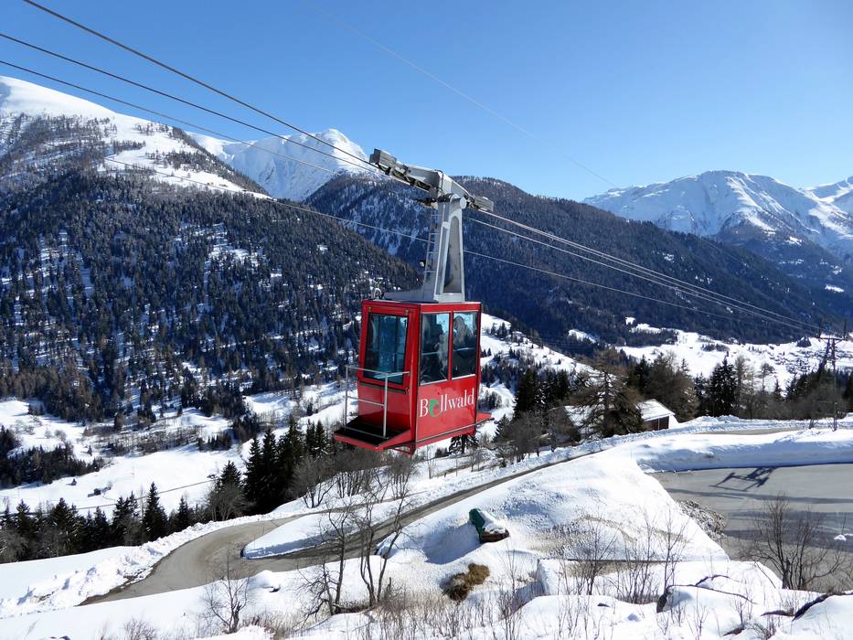
Bellwald is located above the Valais Rhone Valley at 1,560 m and is the highest municipality in the Goms region. The Bellwald ski area can be reached by private or public transport. You can get to the ski area by car or by train and cable car. From the Fürgangen-Bellwald train station, you can take the cable car up to Bellwald. At the mountain station of the cable car, there is the free Basper parking lot. From here, a ski bus takes you to the slopes. You can also park directly at the slopes in Gassen, but this parking lot is subject to a fee.
Arrival by car is possible from several directions.
From Germany/Basel/Bern: Drive via Basel–Bern–Thun–Kandersteg (Lötschberg car transport)–Goppenstein–Brig–continue towards Furka
From Germany/Zurich: Head towards Gotthard–Andermatt–Furka car transport (Realp–Oberwald)–continue through the Goms towards Brig
From Western Switzerland: Drive on the A9 from Lake Geneva towards Brig–Furka
From Milan/Italy: Drive over the Simplon Pass, which is open all year round, or use the car transport Brig–Iselle
Winter Closure
The Furka Pass and Oberalp Pass are closed for winter. Access from the north and west is via the Furka car shuttle (Realp–Oberwald) or Lötschberg.
Access via
Mobility on-site
- Ski buses
- Scheduled buses
- The entire village is served by a ski bus. This means that all parts of the village, the cable car, and the ski lifts are connected to each other.
Access via A9 Autoroute du Rhône, end of the motorway at Sierre
62 km Distance - approx. 70 Minutes driving time
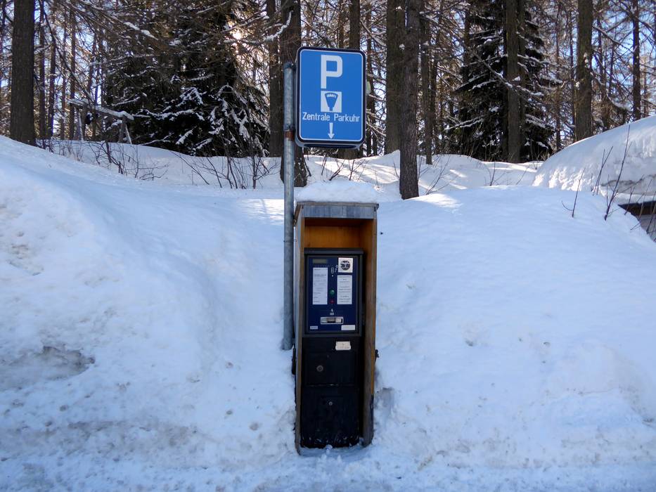
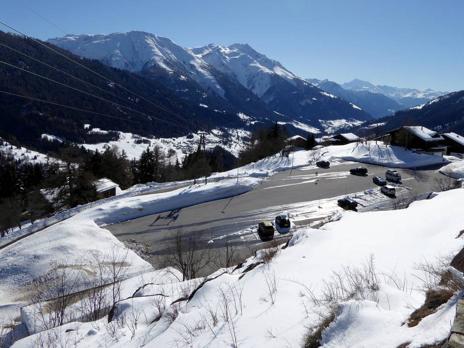
Destination Parking spaces - usually enough available, tarmac car park
- for a fee
Roads - Main street, Side road, Mountain road, well-developed, with significant incline
- Snow chains sometimes required by snowfall
Show route Access via A8 Spiez-Interlaken, exit Spiez
99 km Distance - approx. 133 Minutes driving time
Destination Parking spaces - usually enough available, tarmac car park
- for a fee
Roads - Main street, Side road, Mountain road, well-developed, with significant incline
- Snow chains sometimes required by snowfall
Show route Access via E62 Strada del Sempione, Domodossola
97 km Distance - approx. 99 Minutes driving time
Destination Parking spaces - usually enough available, tarmac car park
- for a fee
Roads - Main street, Side road, Mountain road, well-developed, with significant incline
- Snow chains sometimes required by snowfall
Show route Access via A2, exit 40 Göschenen
61 km Distance - approx. 90 Minutes driving time
Destination Parking spaces - usually enough available, tarmac car park
- for a fee
Roads - Main street, Side road, Mountain road, well-developed, with significant incline
- Snow chains sometimes required by snowfall
Show route More Entry point(s) to the ski resort
Destination Parking spaces - limited amount available, tarmac car park

Access to ski resort

Town/village close to ski resort

Traffic Junction
All information is supplied without guarantee
The maps are provided by Google with the following information: „These directions are for planning purposes only. You may find that construction projects, traffic, weather, or other events may cause conditions to differ from the map results, and you should plan your route accordingly. You must obey all signs or notices regarding your route.“
Please wait and do not close window. File will be transmitted.

