Orientation (Trail map, information boards, sign-postings) and safety in the ski resort Arosa Lenzerheide
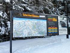
Trail map and overview maps
The piste map is very clear. A part of Arosa, which would otherwise be shown very small, is highlighted separately. The legend explains everything well and the back provides information about the dining options.
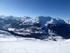
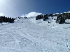
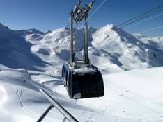
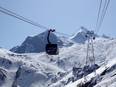
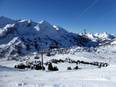
Information boards and sign-postings on the slopes
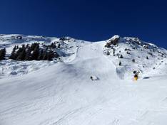
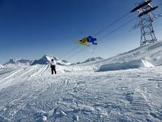
The ski resort is generally well signposted. Clear signs are placed at intersections, and orientation boards can be found at key junctions. Danger spots are marked with warnings, and the end of the secured ski area is also indicated. However, the markings on the slopes themselves are only color-coded, so while you can tell the difficulty level of the slope, you do not know which "number" you are currently on.