
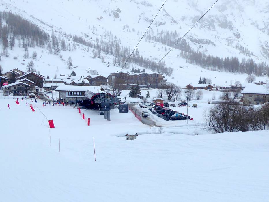
50 km Distance - approx. 48 Minutes driving time
Destination - Les Brevieres, 73320 Tignes, France
- Ideal entry for day visitors
- View on Google Maps
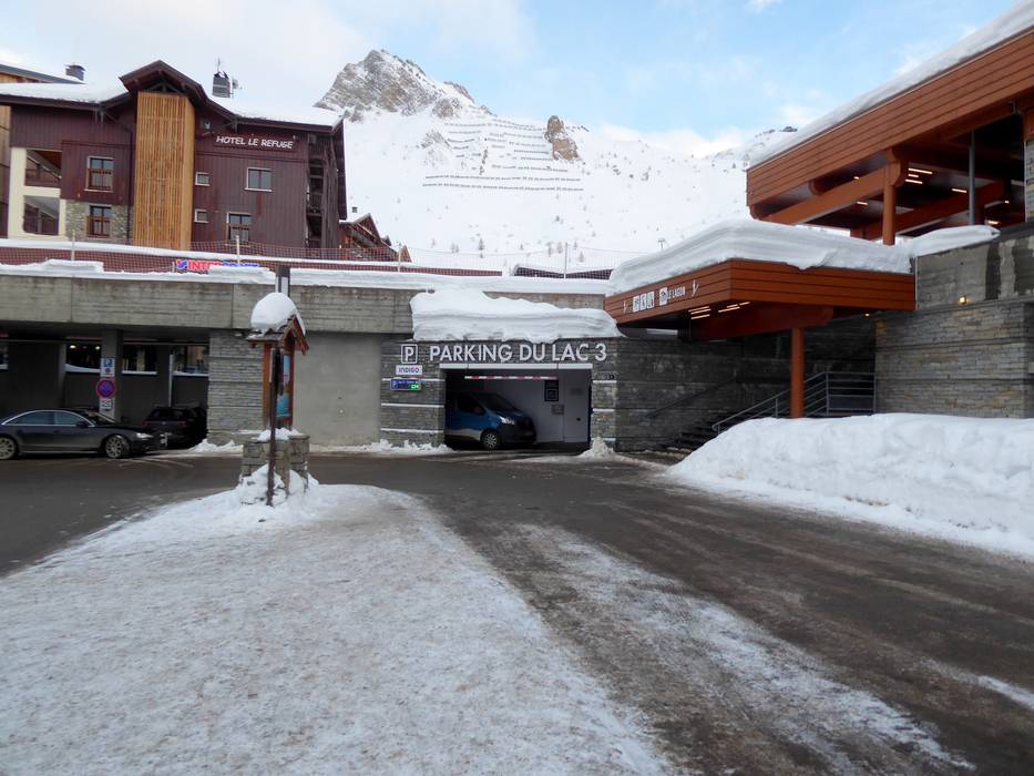
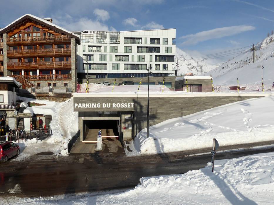
- usually enough available, tarmac car park
- free of charge
Route planner, detailed directions, entry point(s)
Access in winter is only possible from the north via Albertville Moûtiers-Bourg Saint Maurice. The following passes are closed in winter: Col de l’Iseran (end of the road in Val d´Isère Le Fornet), Kleiner Sankt Bernhard (frz. Col du Petit Saint-Bernard; ital. Colle del Piccolo San Bernardo), Cormet de Roselend.


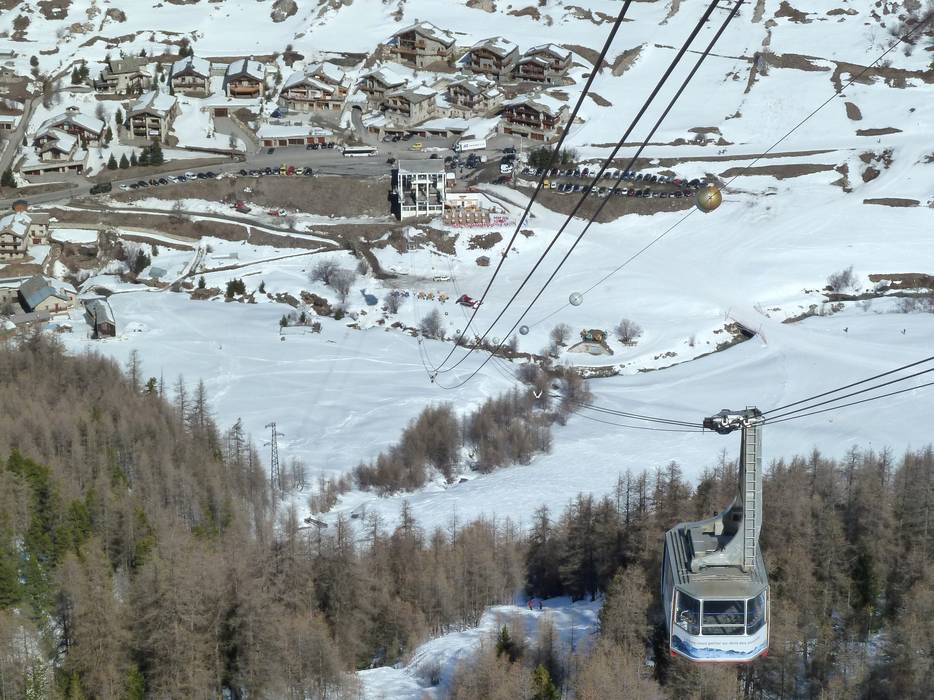
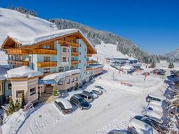
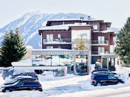
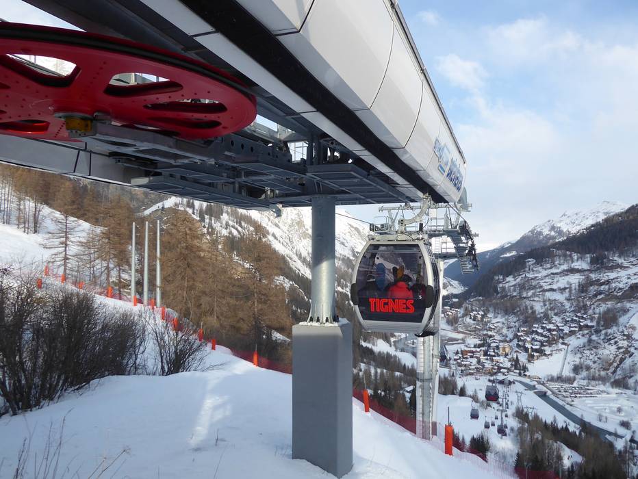
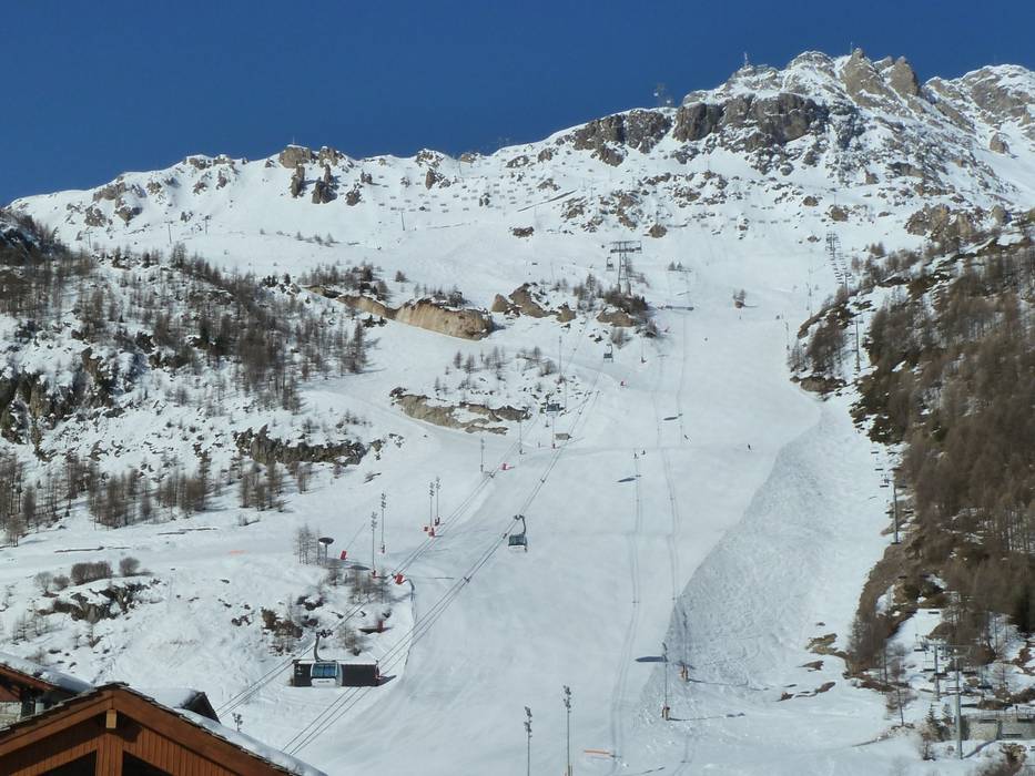
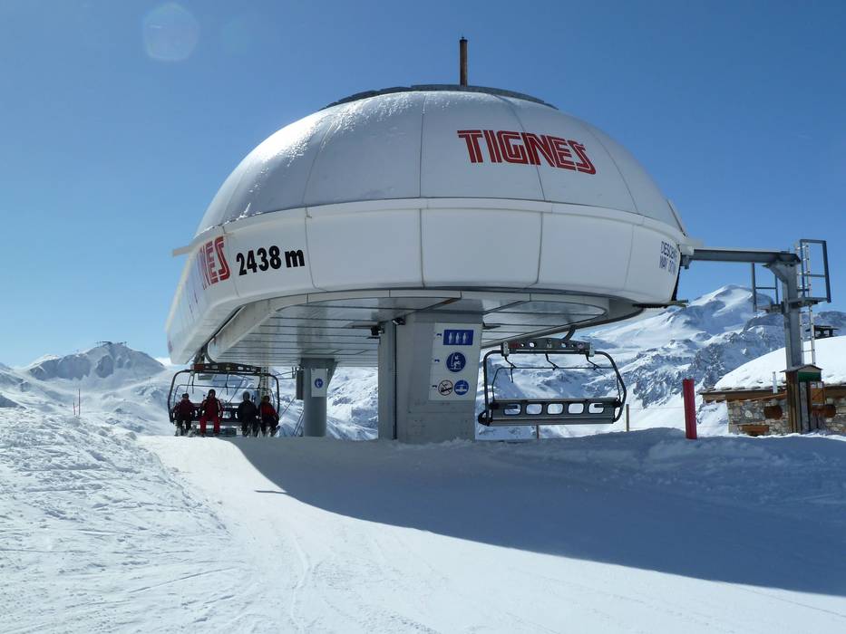
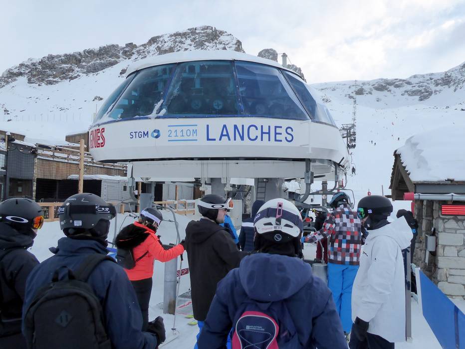
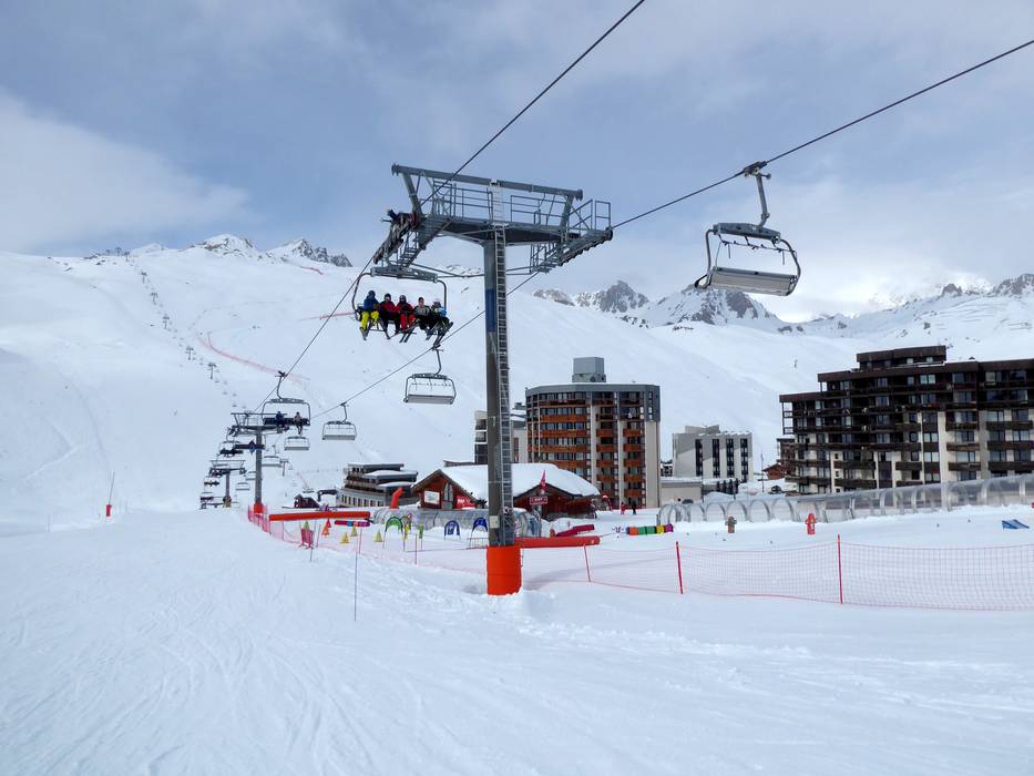
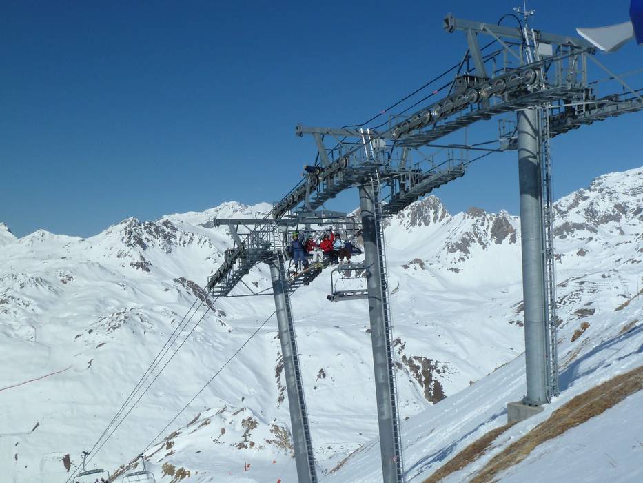
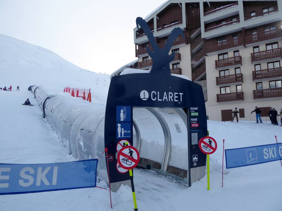
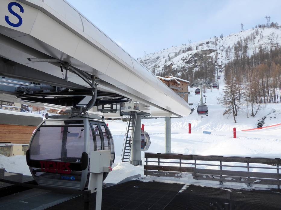
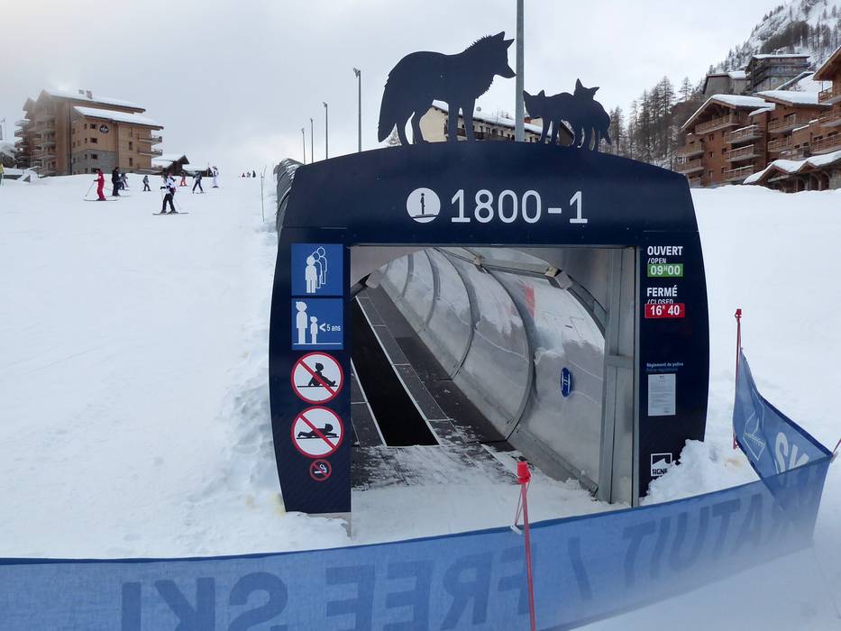
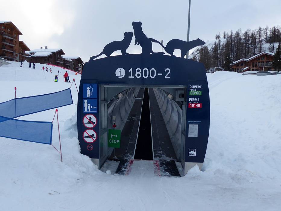
 Access to ski resort
  Town/village close to ski resort
  Traffic Junction
 All information is supplied without guarantee
The maps are provided by Google with the following information: „These directions are for planning purposes only. You may find that construction projects, traffic, weather, or other events may cause conditions to differ from the map results, and you should plan your route accordingly. You must obey all signs or notices regarding your route.“
