 1/14
1/14 Ski slopes Megève/Saint-Gervais
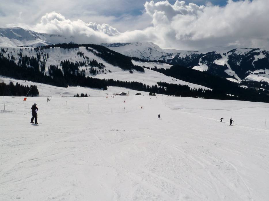
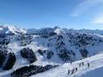
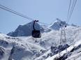
In the Megève ski area, you will find slopes of all levels of difficulty. The runs around Megève mostly lead through forest descents and across alpine meadows. From Rochebrune all the way to Cote 2000, the slopes all pass through forest clearings. From Mont d’Arbois down towards Megève and Saint Gervais, the slopes also wind through forest clearings. Further back at Mont Joux, you reach above the tree line, and on Mont Joly, the slopes run across open hillsides. Between Mont d’Arbois and Mont Joly, you always have a wonderful view of Mont Blanc. If you take the run from Mont Joly towards Saint Nicolas de Veroce, you get very close to Mont Blanc. The slopes between Combloux and La Giettaz are located entirely below the tree line.
Runs/slopes
Total: 185 km
| Easy | 70 km |
| Intermediate | 90 km |
| Difficult | 25 km |
Interconnection information
The connection between the ski lifts in Megève is provided by ski buses and horse-drawn carriages.
Worth knowing
- Artificial snow-making
900 Snow cannons
20 % of the slopes have snow-making capabilities - Valley run available
Run location
- above tree line
- under tree line
Longest run
- La Tréfléannaise · Length 7 km · Elevation difference 1151 m
- L'Alpete-Megève · Length 3.6 km · Elevation difference 758 m
Most difficult run
- Chamois on Mont Joly · Length 1.8 km · Elevation difference 640 m
Slope tip
- Coq Bruyère
- Grande Epaule/Marmottes
- Olympique
Snowparks
- Snow park/Fun park
- No halfpipe
Highlights
Night skiing
- Night skiing offered
Megève


Towns/villages at the ski resort (distance from town center):
Megève (0.1 km), Saint Nicolas de Véroce (0.1 km), Towns/villages at the ski resort
Megève (0.1 km), Saint Nicolas de Véroce (0.1 km), Towns/villages at the ski resort
Feedback for the Skiresort.info Team? Please use this form

Test Reports
Tips for the ski holiday