
21 km Distance - approx. 28 Minutes driving time
Destination - Promenade 36, 3954 Leukerbad, Switzerland
- Entry suitable for day visitors
- View on Google Maps
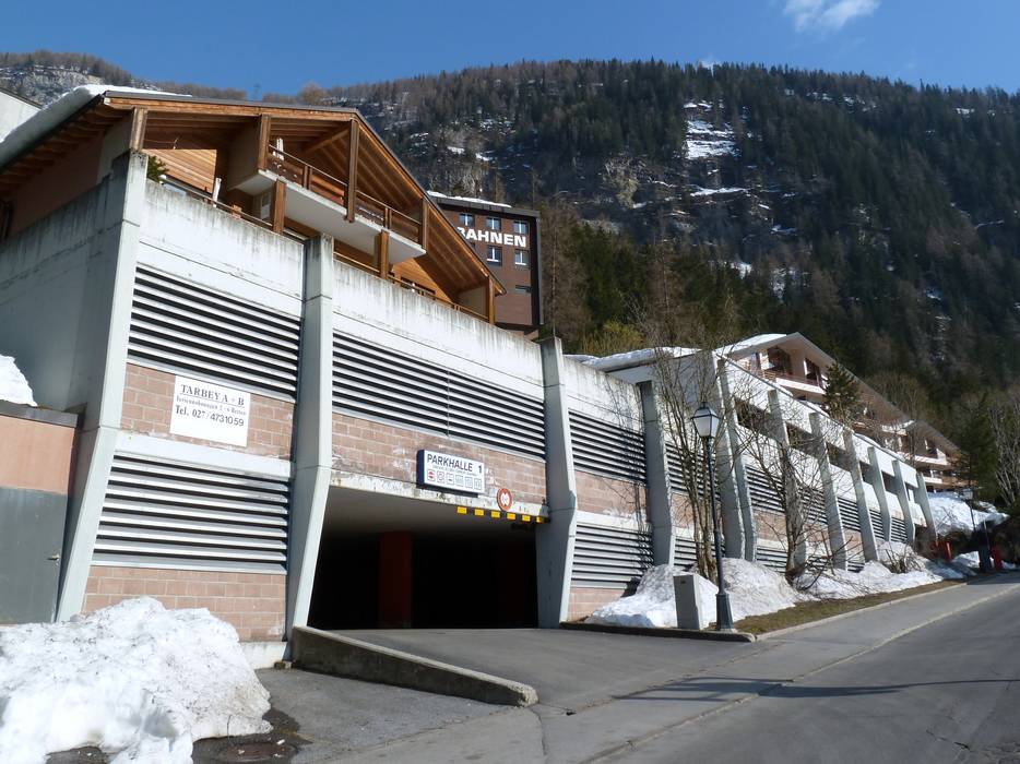
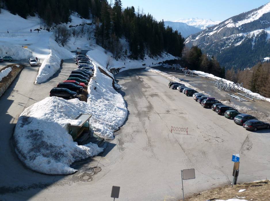
- limited amount available, covered car park
- for a fee
- Main street, Side road, Mountain road, well-developed, with significant incline
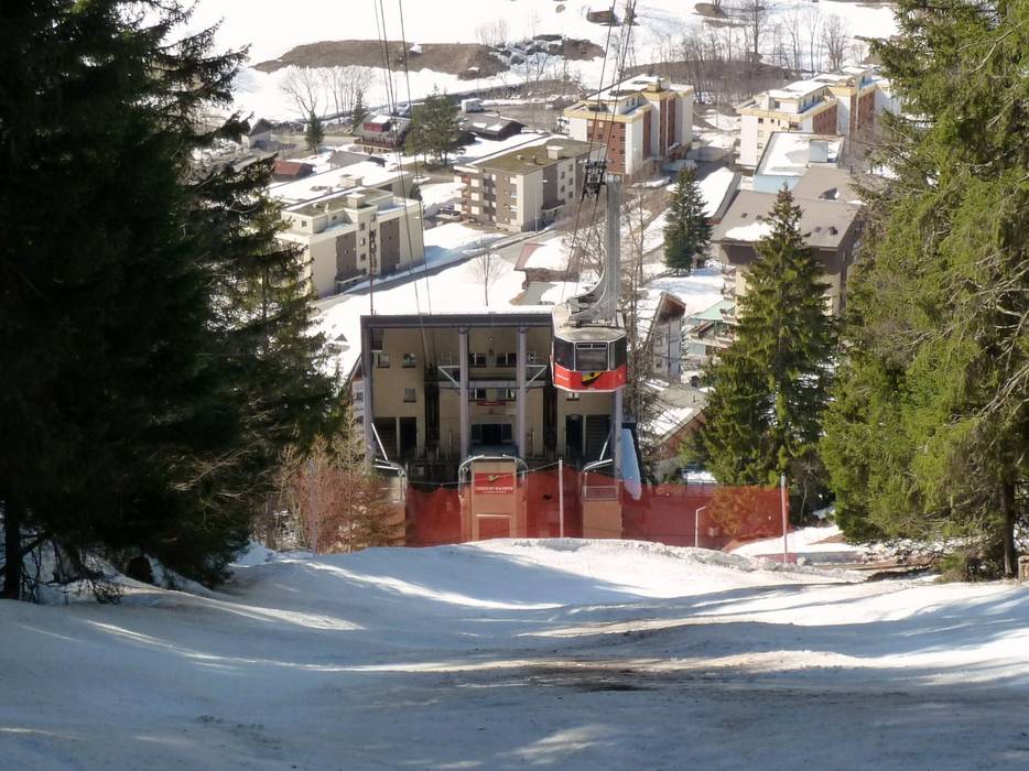
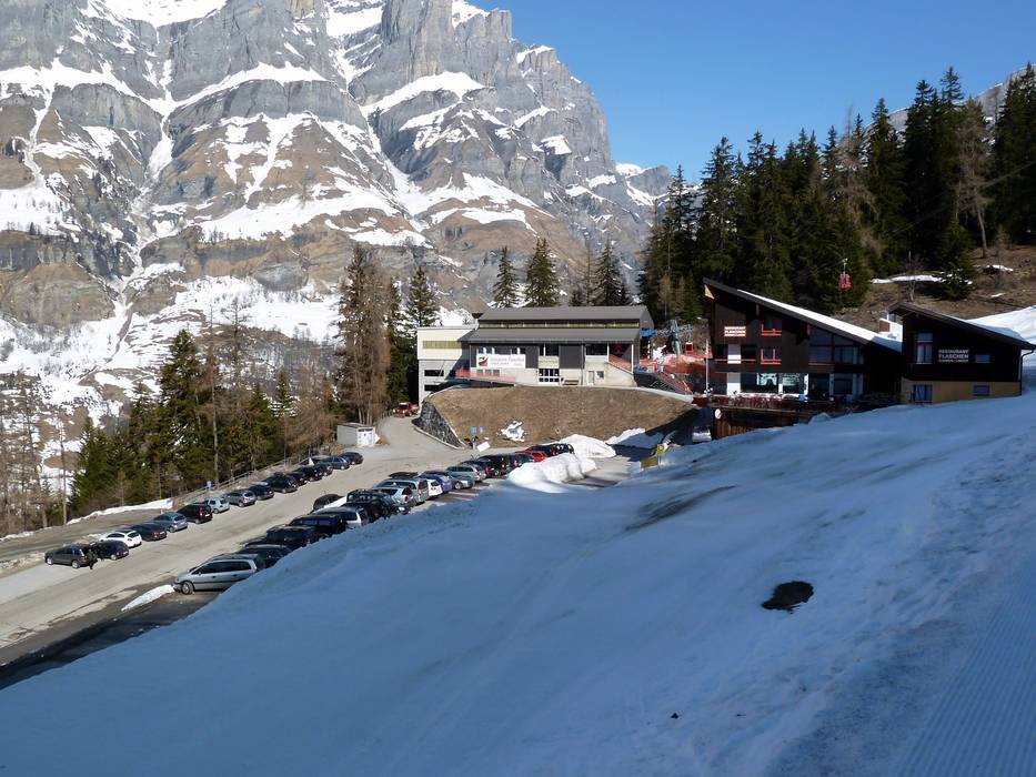
 Access to ski resort
  Town/village close to ski resort
  Traffic Junction