
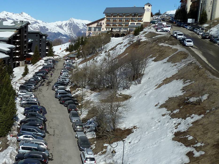
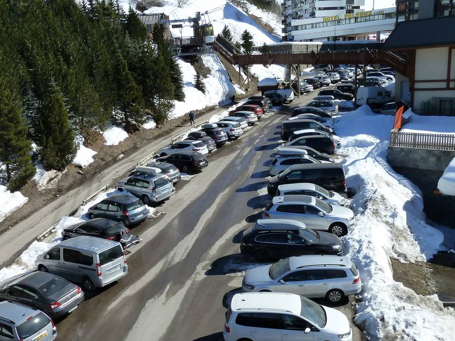
16 km Distance - approx. 20 Minutes driving time
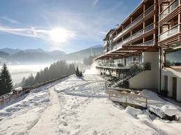
Destination - Alpinium, 73120 Courchevel, France
- Ideal entry for day visitors
- View on Google Maps
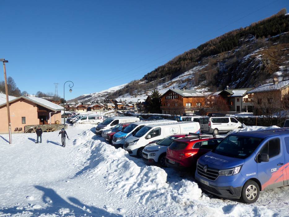
- usually enough available, covered car park
- for a fee
- Mountain road, well-developed, with significant incline
- Snow chains sometimes required by snowfall
- Road closure due to avalanches sometimes possible
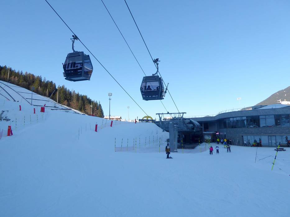
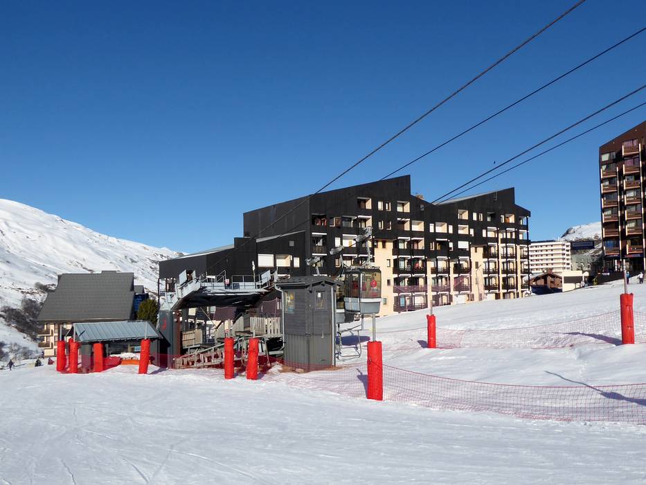
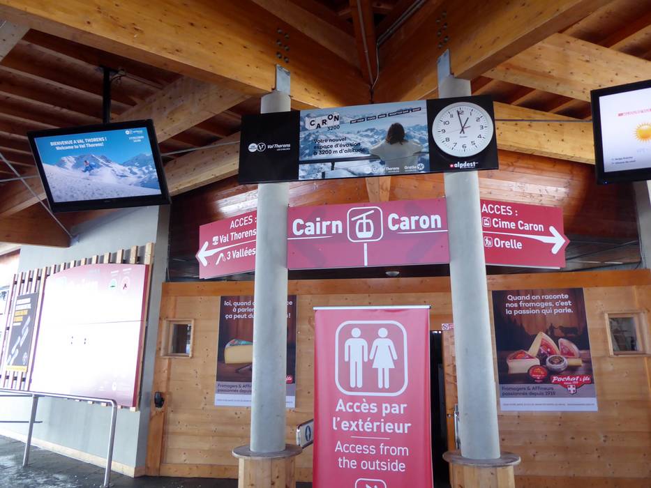
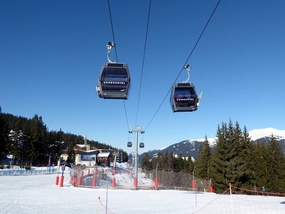
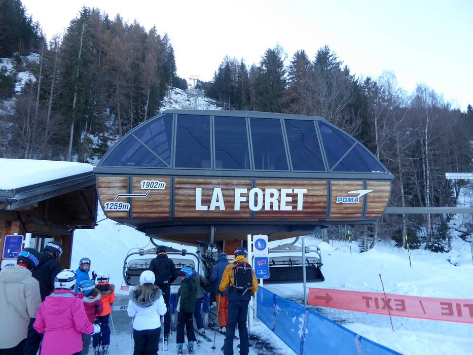
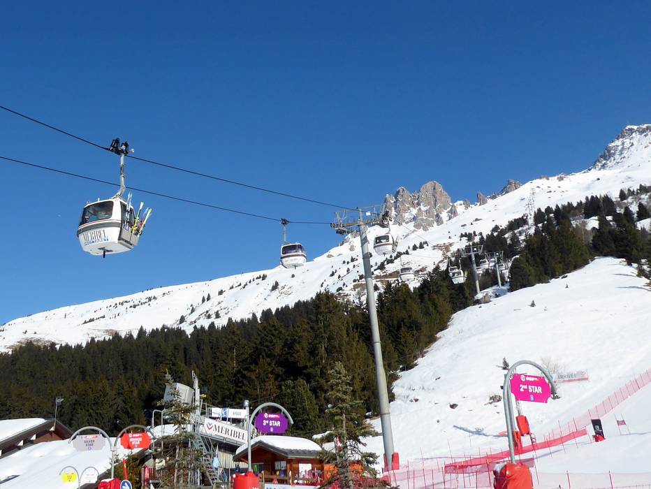
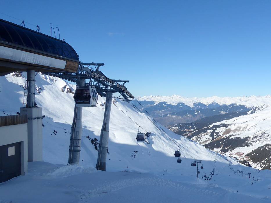
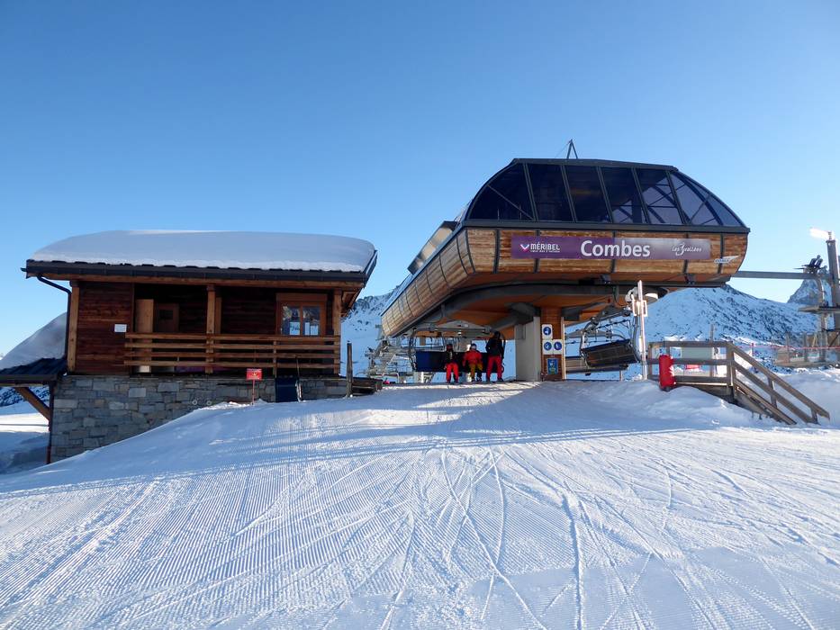
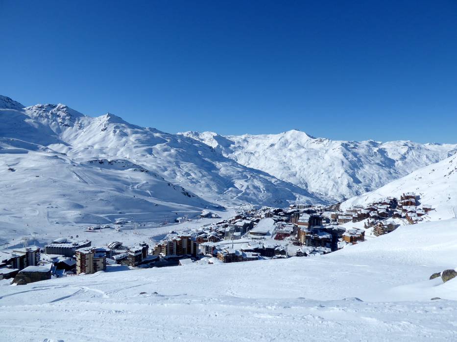
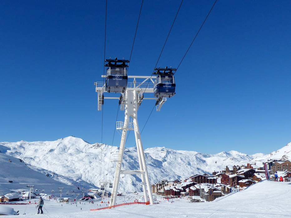
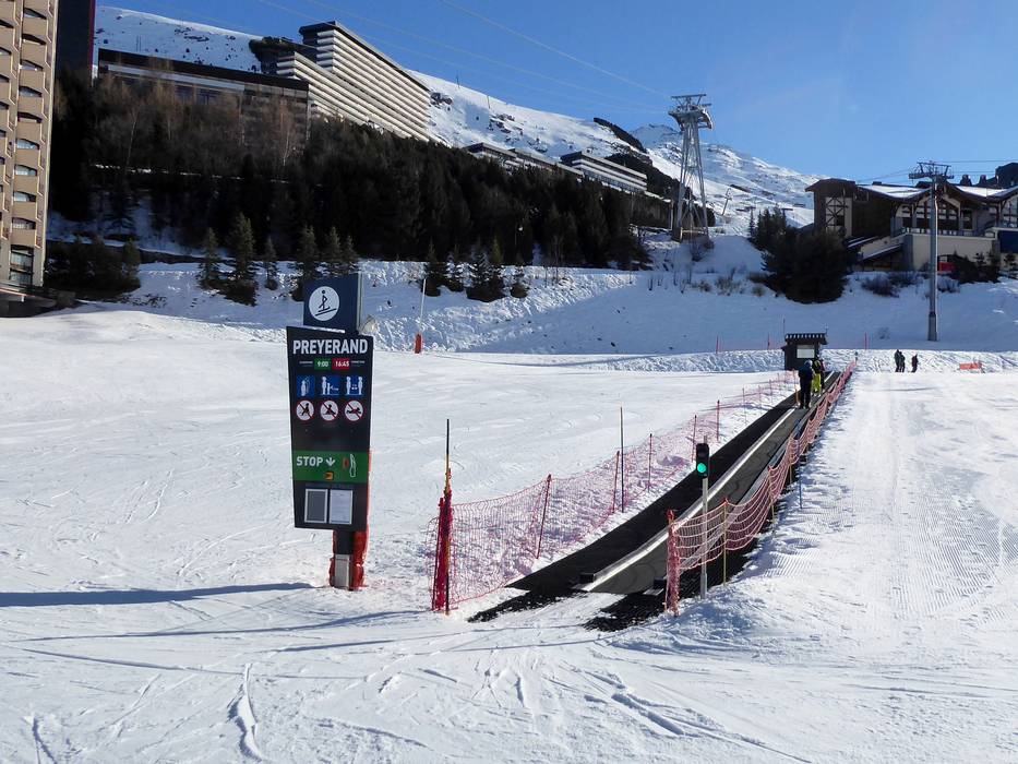
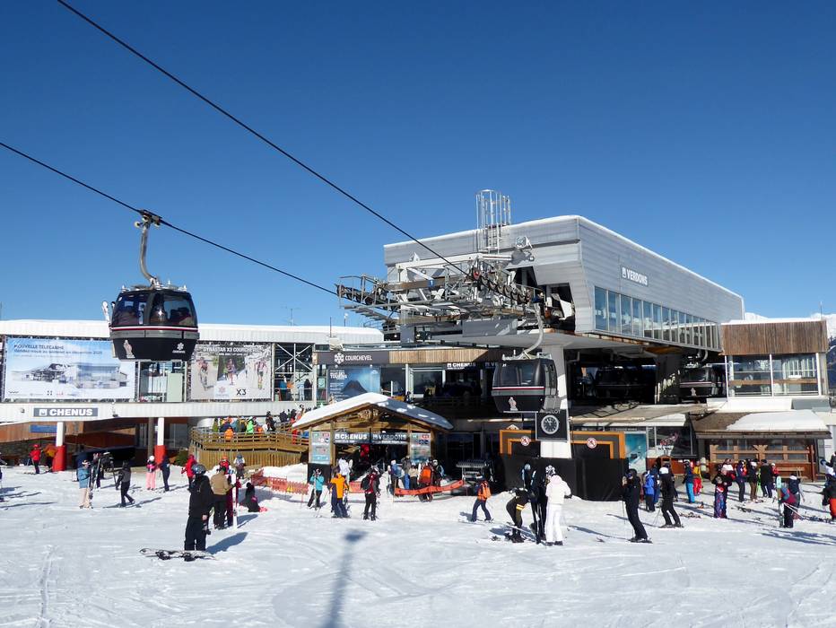
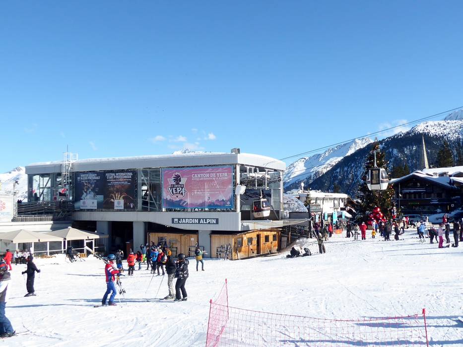
 Access to ski resort
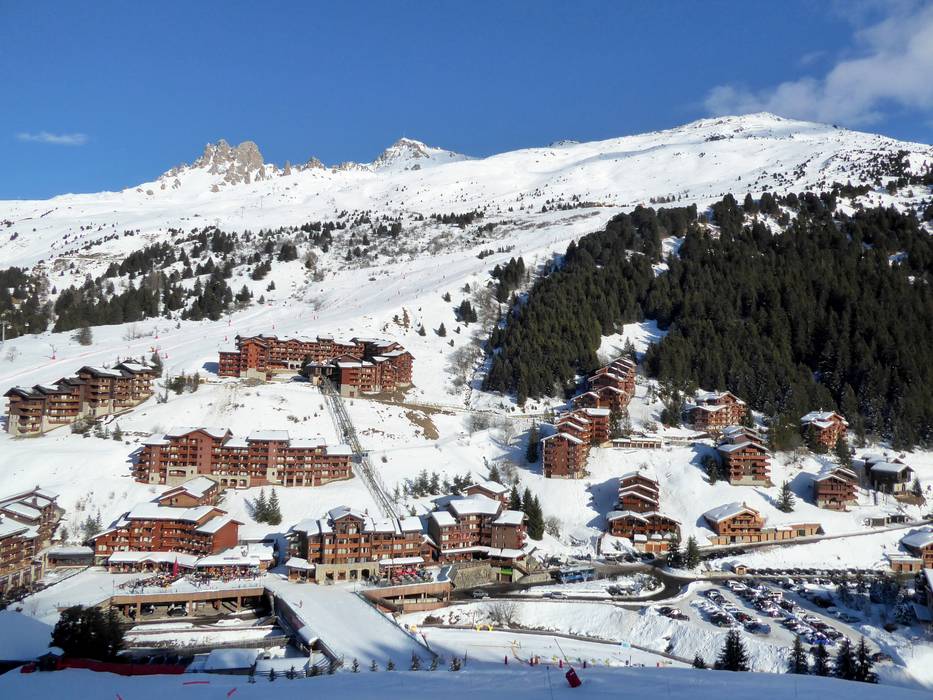
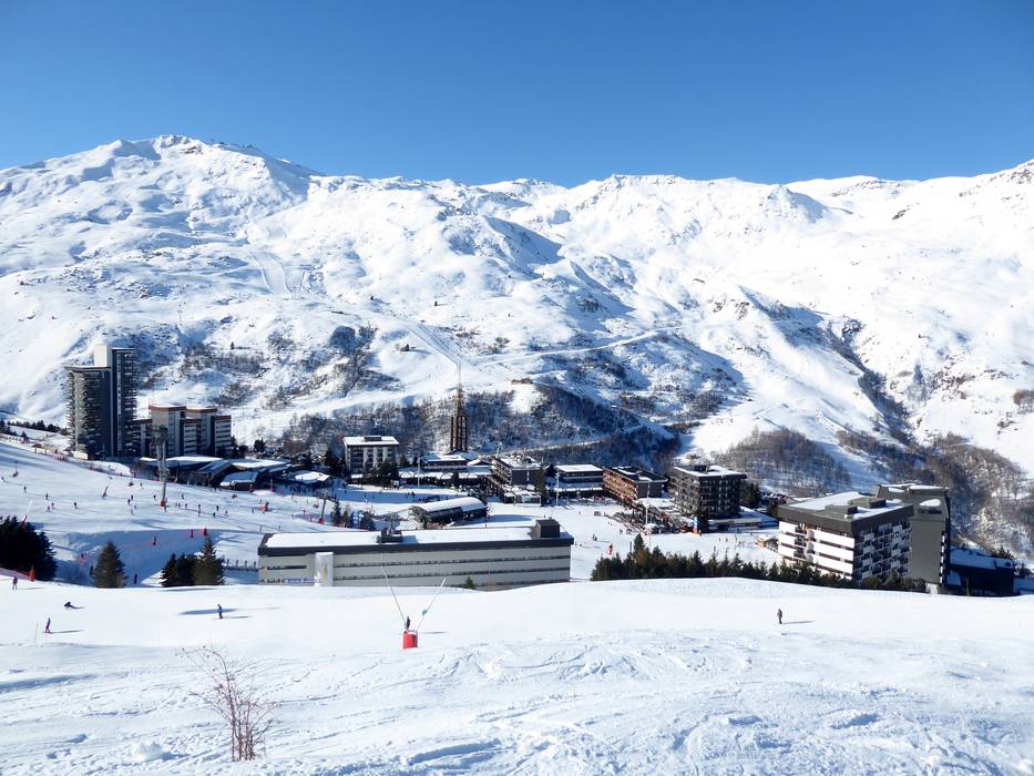
  Town/village close to ski resort
  Traffic Junction
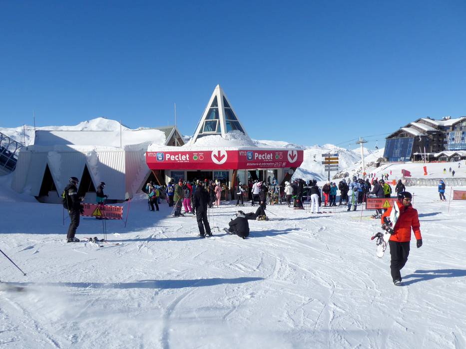