Orientation (Trail map, information boards, sign-postings) and safety in the ski resort Kleine Scheidegg/Männlichen – Grindelwald/Wengen
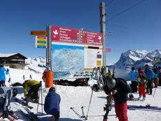
Trail map and overview maps
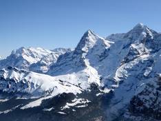
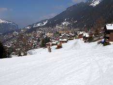
The piste map provides a good overview of the entire ski area from Grindelwald to Wengen. Additionally, the First ski area is also included on the map. The ski lifts and mountain huts could be described in more detail. Otherwise, the map is clear and you can easily identify Eiger, Mönch, and Jungfrau. There is also a piste map of the entire Jungfrau Ski Region available.
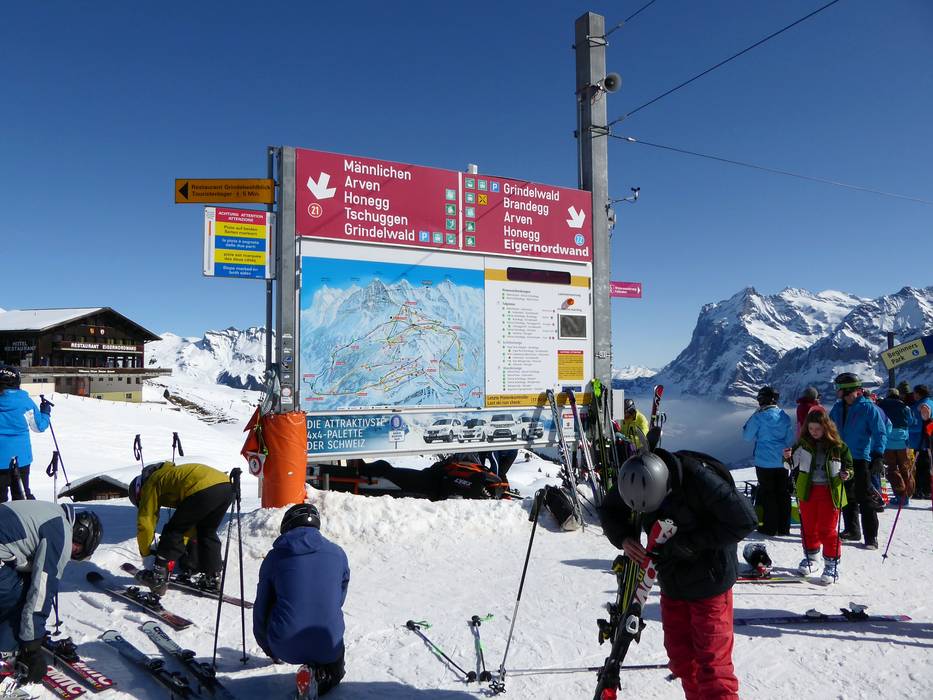
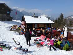
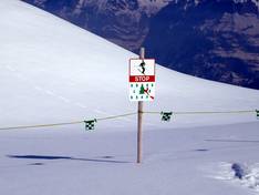
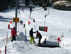
Information boards and sign-postings on the slopes
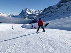
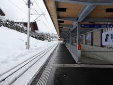
The slopes are all well signposted and it is easy to find your way around the ski area. At the cog railway stations, digital displays inform winter sports enthusiasts about the next departures and the current operating status.