
9 km Distance - approx. 13 Minutes driving time
Destination - Bergstrasse 153, 8897 Flums, Switzerland
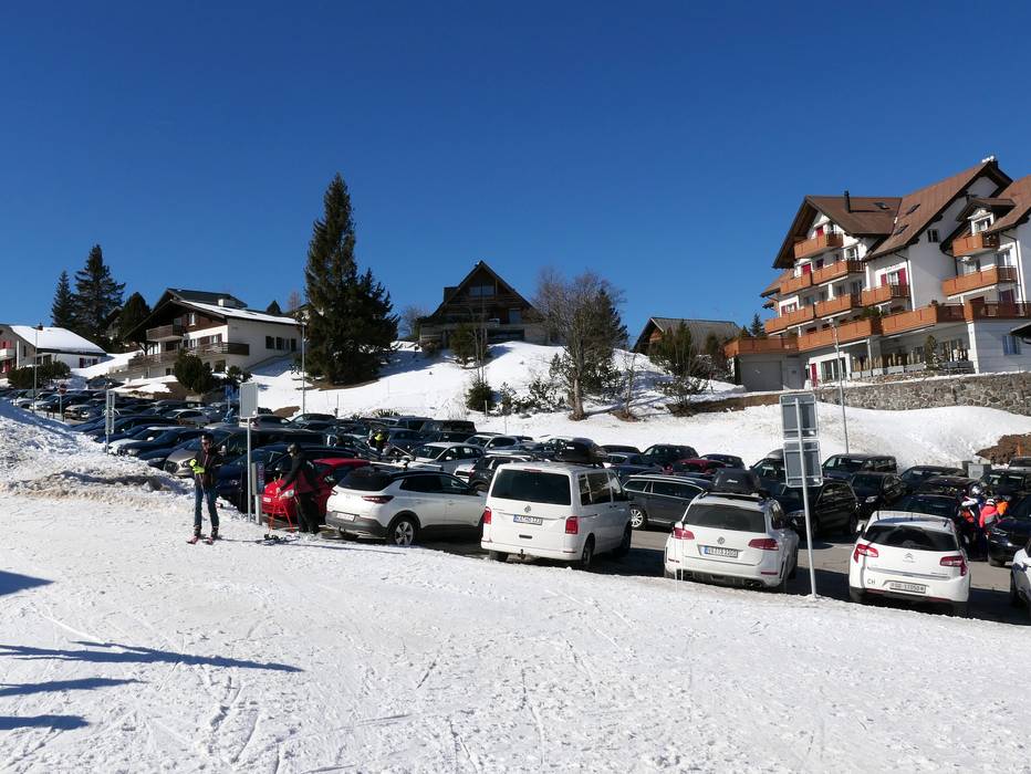
- Entry suitable for day visitors
- View on Google Maps
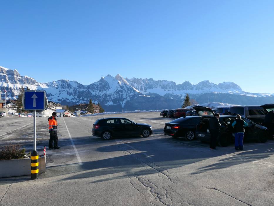
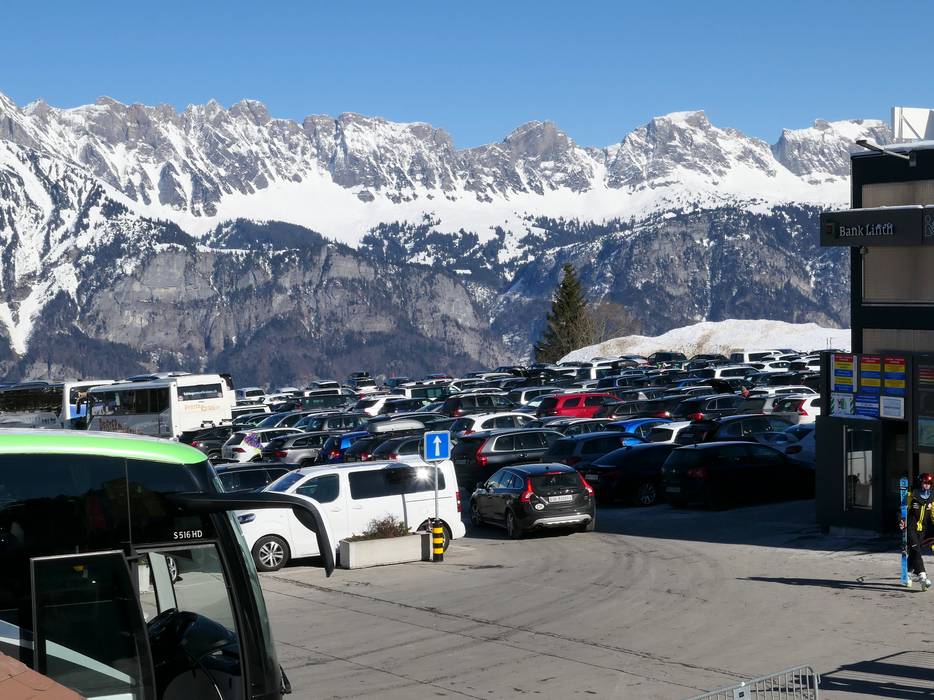
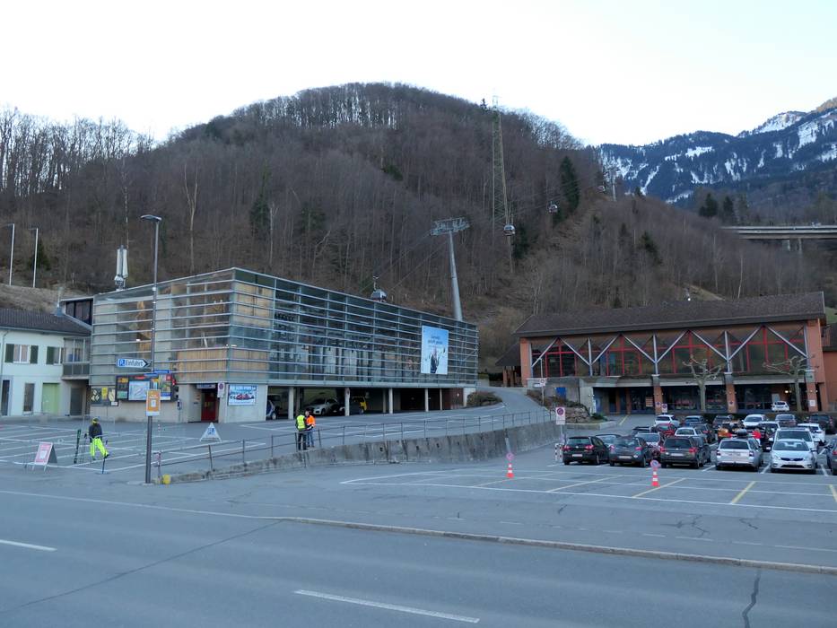
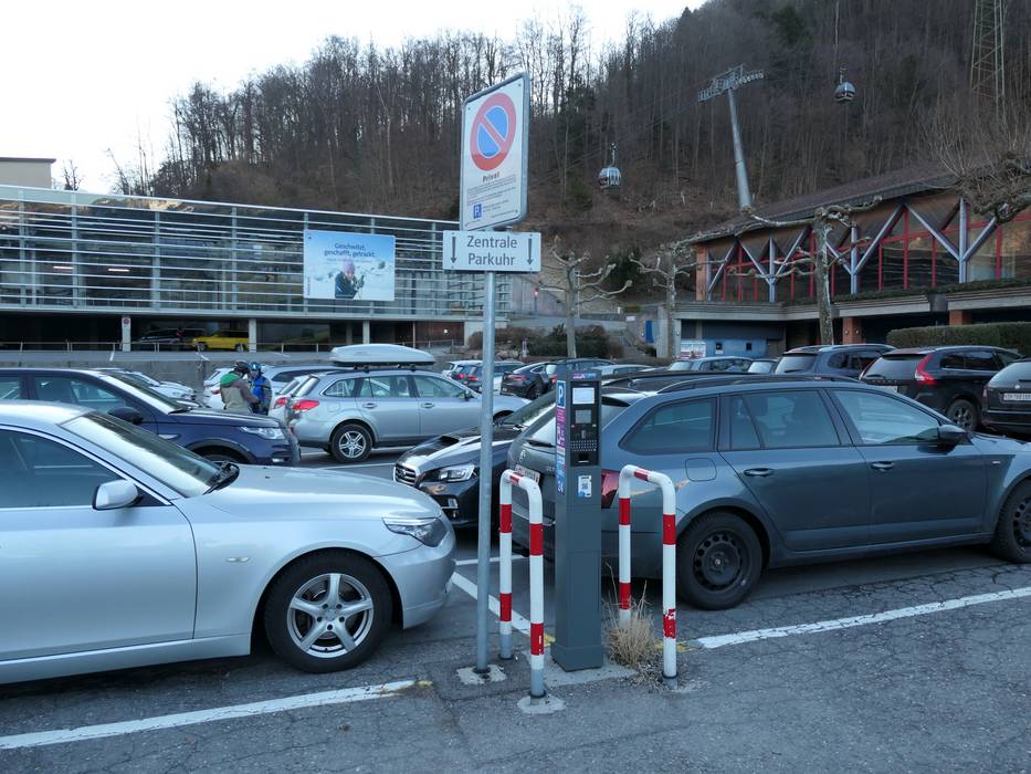
- usually enough available, tarmac car park
- for a fee
- Side road, Mountain road, well-developed, with significant incline
- Snow chains sometimes required by snowfall
- Road closure due to avalanches unlikely
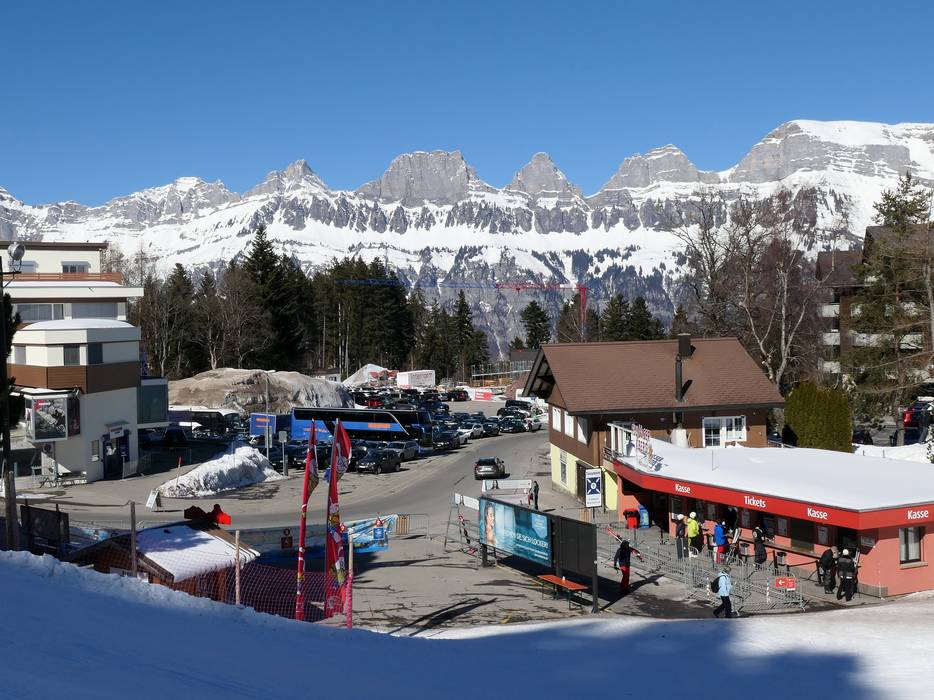
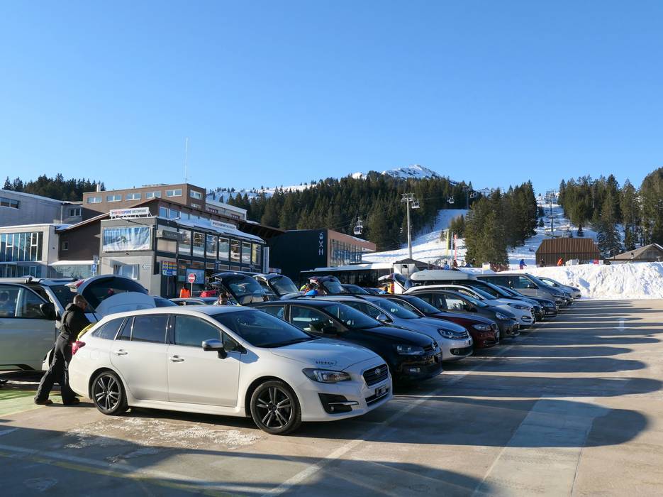

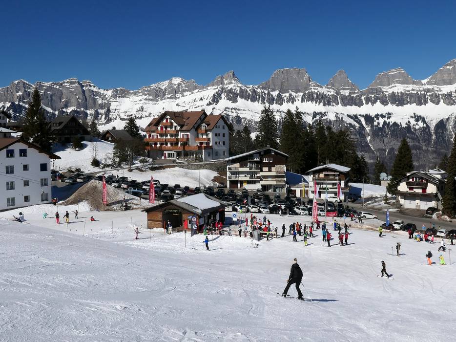
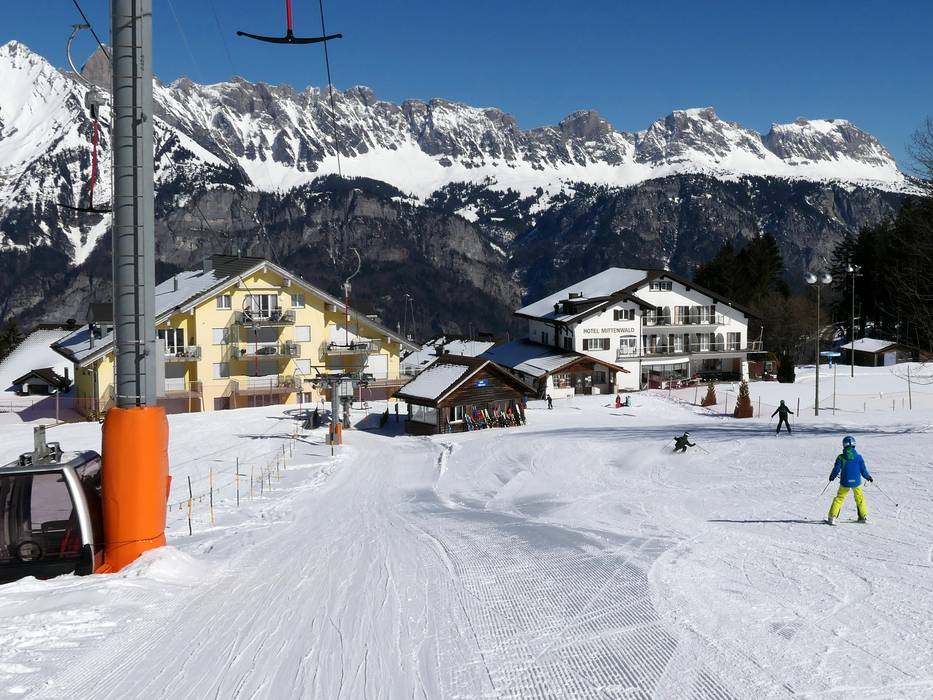
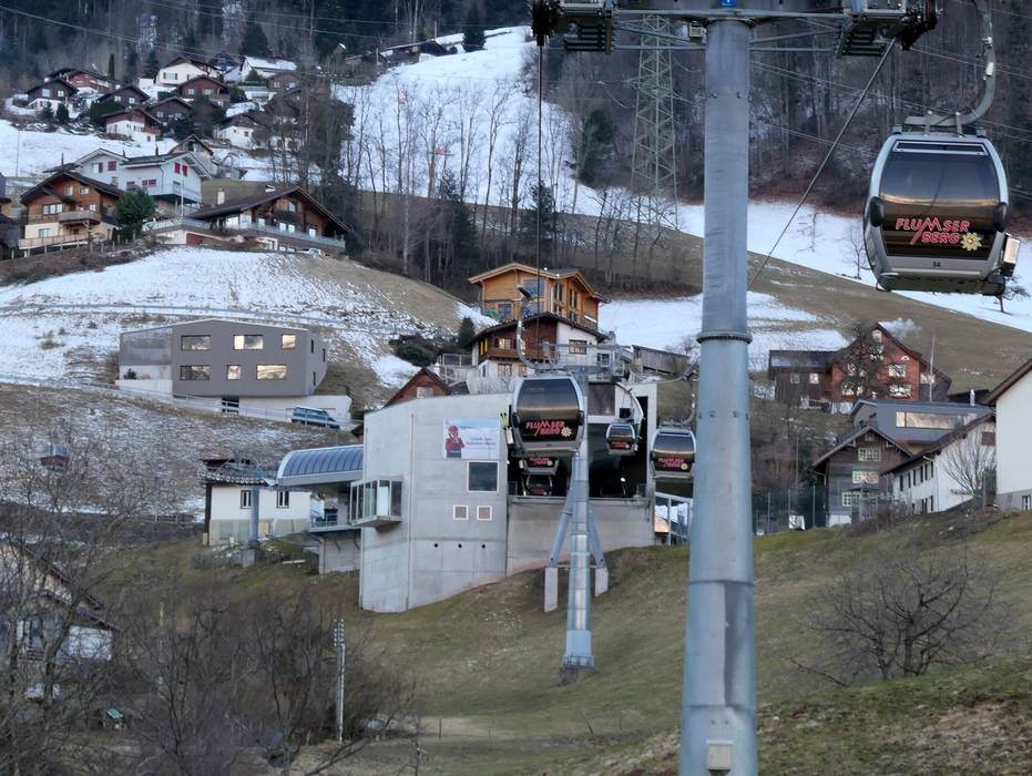
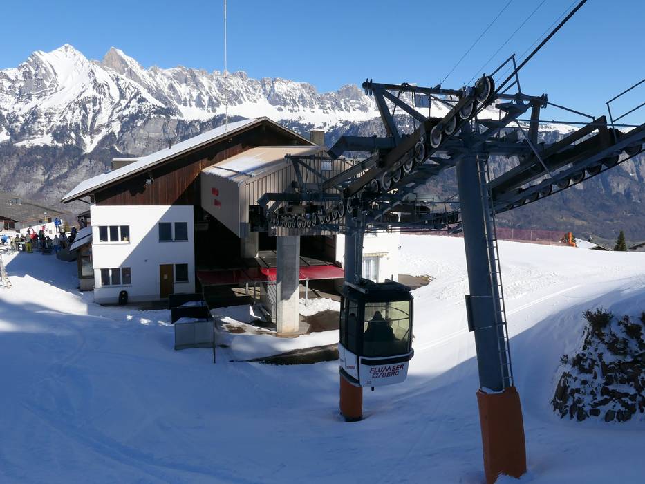
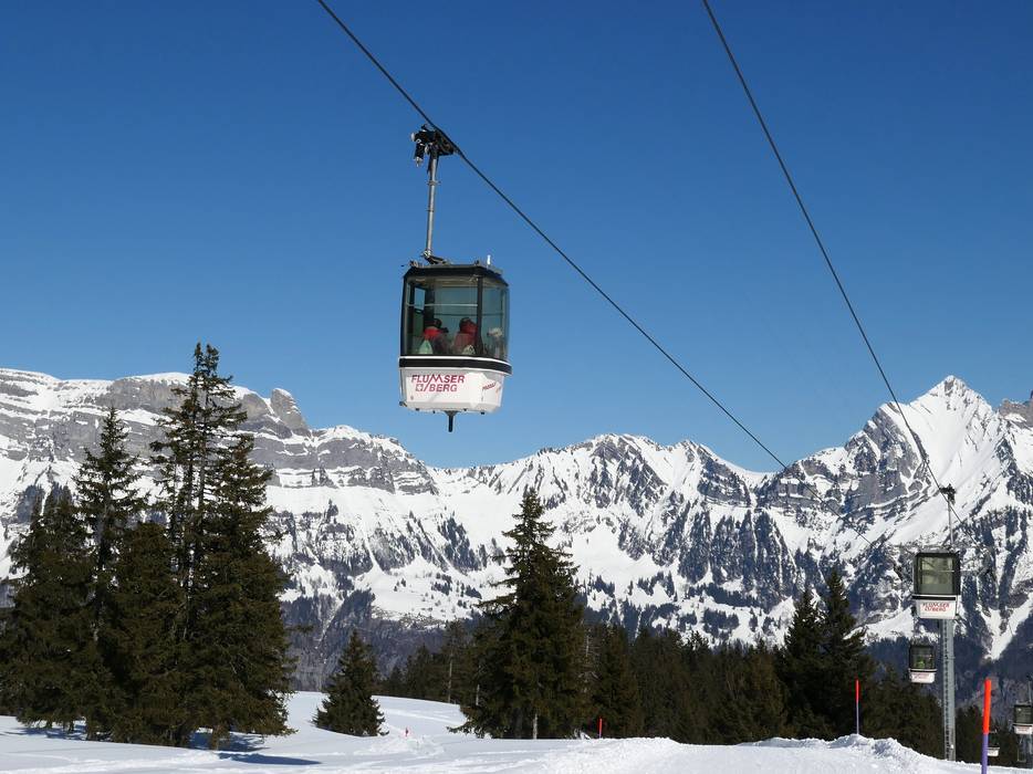
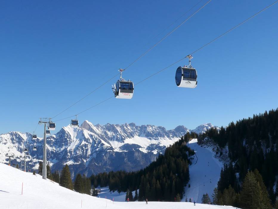
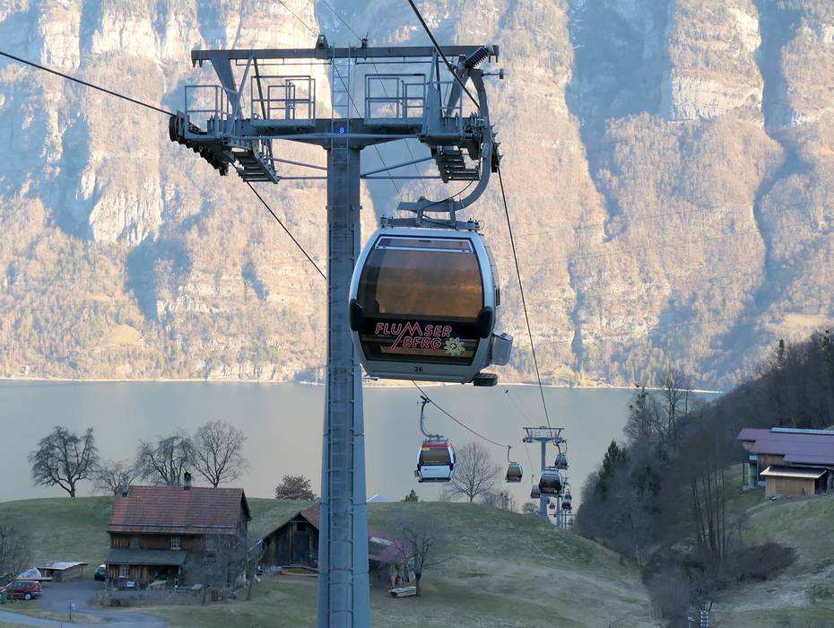
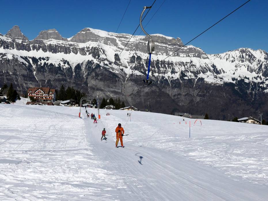
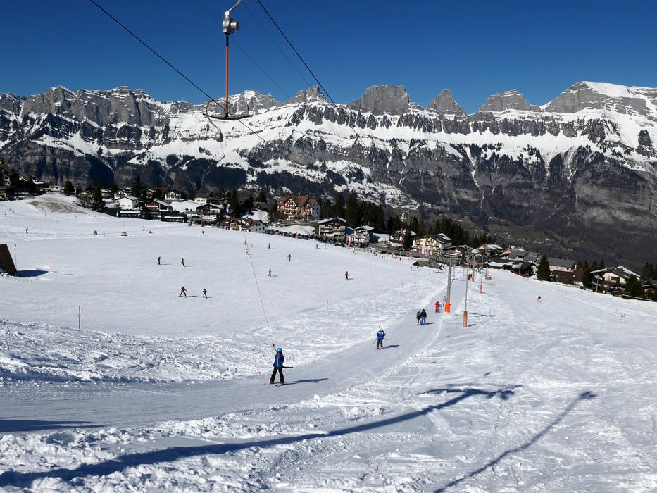
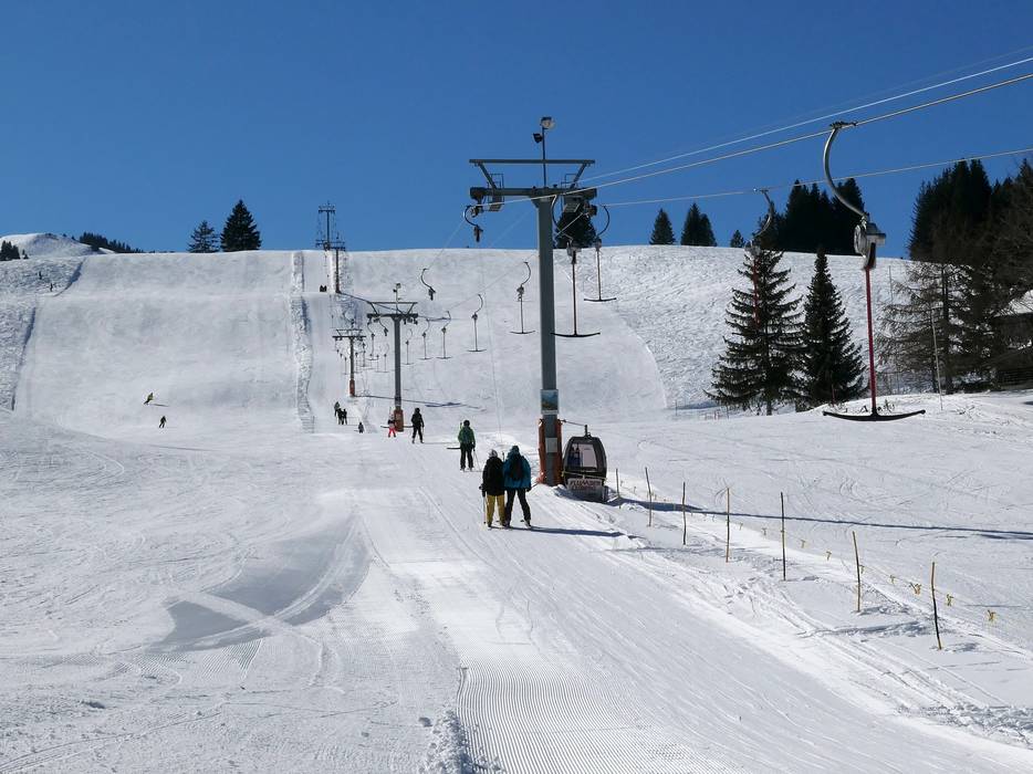
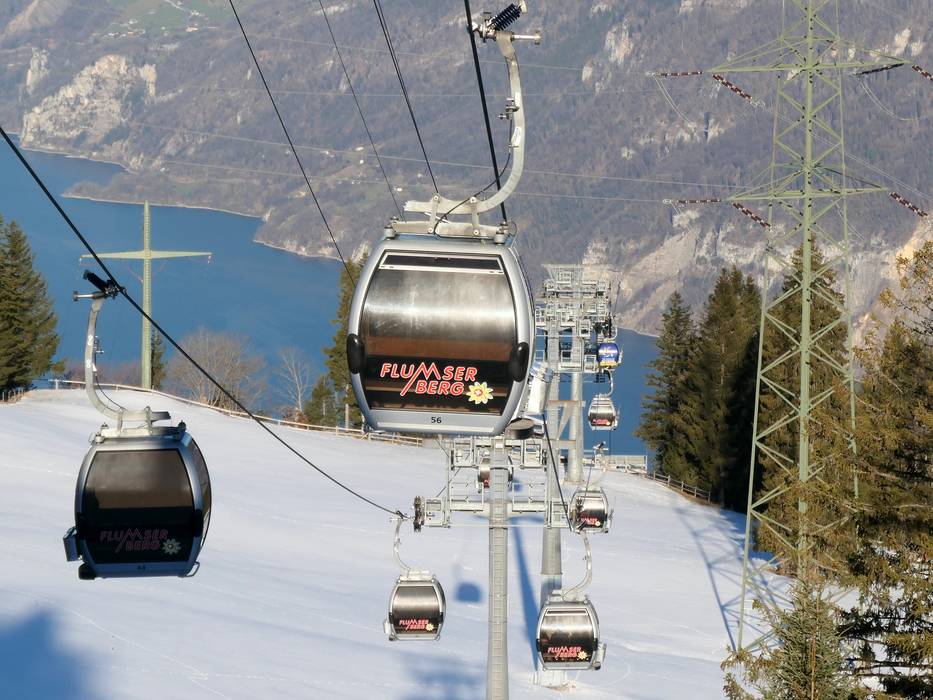
 Access to ski resort
  Town/village close to ski resort
  Traffic Junction
