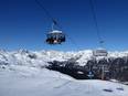
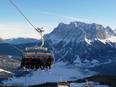
Orientation (Trail map, information boards, sign-postings) and safety in the ski resort First – Grindelwald
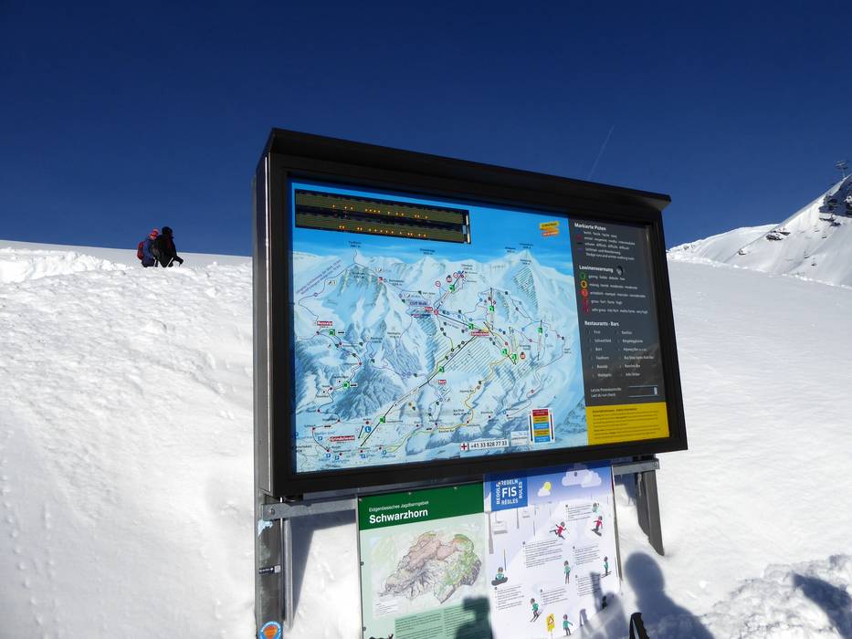
Trail map and overview maps
The piste map provides a good overview of the entire ski area from Grindelwald to Wengen. The First ski area is located on the left side. The ski lifts and mountain huts could be described in more detail. Otherwise, the map is clear and you can easily spot Wetterhorn, Schreckhorn, Eiger, Mönch, and Jungfrau. On the back, you will find more activities in the Jungfrau Ski Region.
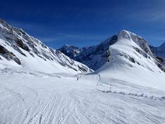
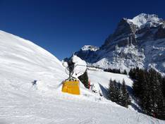
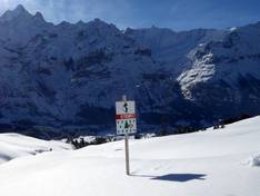
Information boards and sign-postings on the slopes
The slopes are all well signposted, making it easy to find your way around the ski area. The slopes are marked in detail with brightly colored boundary markers. This means you can find your way even in foggy conditions in the high alpine terrain.