Route planner
Access & on-site parking
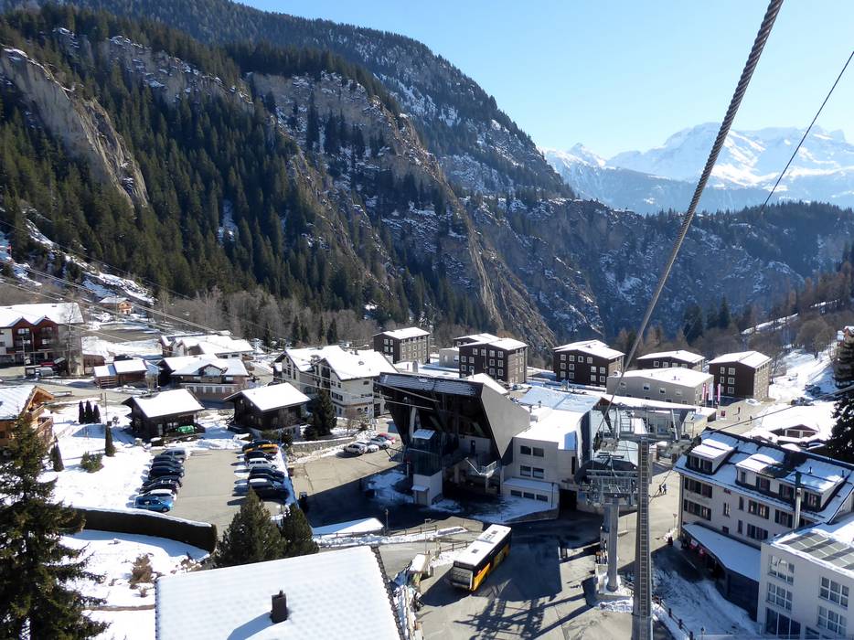
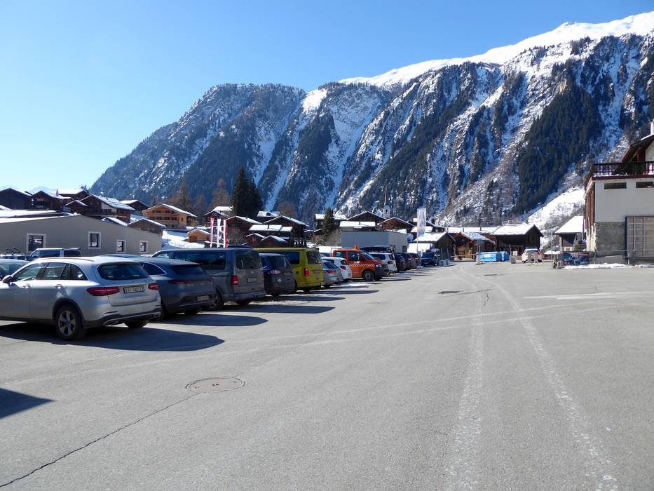
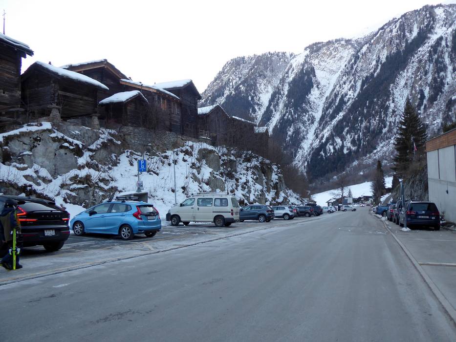
The Belalp ski resort is located in Valais above Brig. From Brig, a well-developed mountain road leads to Blatten, where the valley station of the Belalp cable cars is situated. In Blatten, there is a parking garage with a parking deck, day parking spaces, as well as a Park and Ride parking lot, which is connected to the valley station by a free sports bus. Belalp is car-free. Vehicles remain at the valley station in Blatten, and parking there is subject to a fee. Arrival by car is possible from several directions.
From Germany/Basel/Bern: Drive via Basel–Bern–Thun–Kandersteg (Lötschberg car transport)–Goppenstein–Brig
From Germany/Zurich: Drive towards Gotthard–Andermatt–Furka car transport (Realp–Oberwald)–continue through Goms towards Brig
From Western Switzerland: Drive on the A9 from Lake Geneva towards Brig
From Milan/Italy: Drive over the Simplon Pass, which is open all year round, or use the Brig–Iselle car transport
Winter Closure
The Furka Pass and Oberalp Pass are closed for winter. Access from the north and west is via the Furka car shuttle (Realp–Oberwald) or Lötschberg. From there, the PostBus takes you to the ski area.
Access via
Mobility on-site
- Ski buses
- Scheduled buses
- On February weekends, the PostBus from Brig to Blatten is free of charge, allowing day visitors to arrive by public transport.
Access via A9 Autoroute du Rhône, end of the motorway at Sierre
43 km Distance - approx. 49 Minutes driving time
Destination Parking spaces - enough available, covered car park, tarmac car park
- for a fee
Roads - Main street, Side road, well-developed, with significant incline
Show route Access via E62 Strada del Sempione, Domodossola
52 km Distance - approx. 73 Minutes driving time
Destination Parking spaces - enough available, covered car park, tarmac car park
- for a fee
Roads - Main street, Side road, well-developed, with significant incline
Show route Access via A2, exit 40 Göschenen
79 km Distance - approx. 111 Minutes driving time
Destination Parking spaces - enough available, covered car park, tarmac car park
- for a fee
Roads - Main street, Side road, well-developed, with significant incline
Show route Access via A8 Spiez-Interlaken, exit Spiez
80 km Distance - approx. 110 Minutes driving time
Destination Parking spaces - enough available, covered car park, tarmac car park
- for a fee
Roads - Main street, Side road, well-developed, with significant incline
Show route 
Access to ski resort

Town/village close to ski resort

Traffic Junction
All information is supplied without guarantee
The maps are provided by Google with the following information: „These directions are for planning purposes only. You may find that construction projects, traffic, weather, or other events may cause conditions to differ from the map results, and you should plan your route accordingly. You must obey all signs or notices regarding your route.“
Please wait and do not close window. File will be transmitted.

