
13 km Distance - approx. 19 Minutes driving time
Destination - Pradafenzerwäg 10, 7075 Churwalden, Switzerland
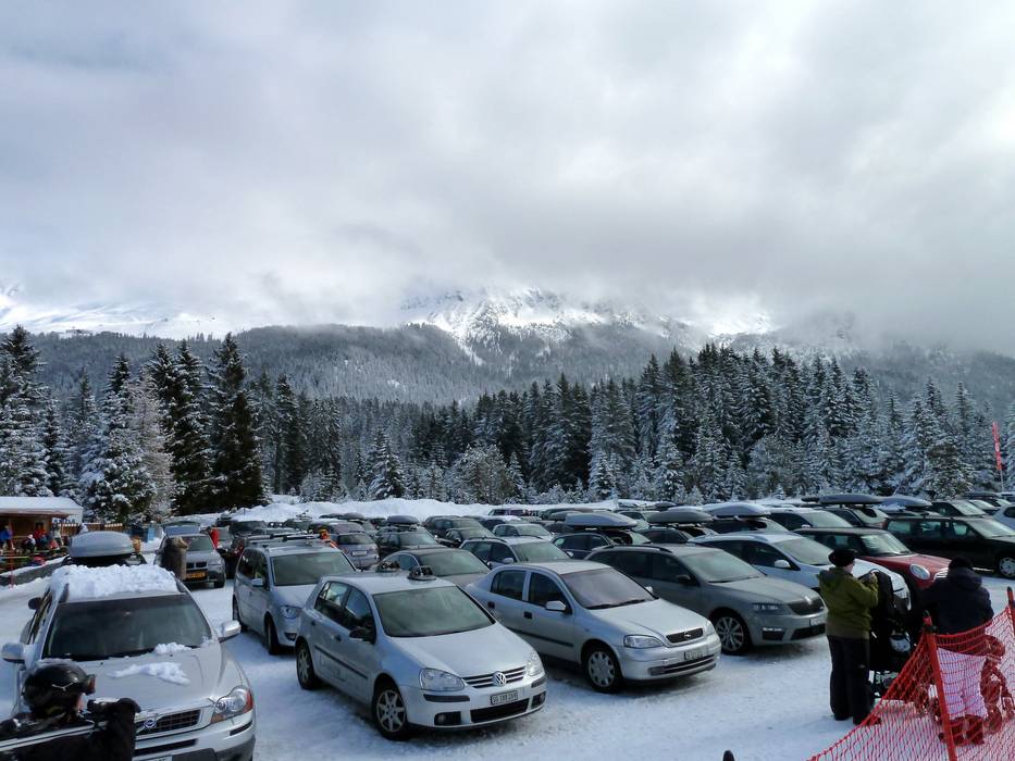
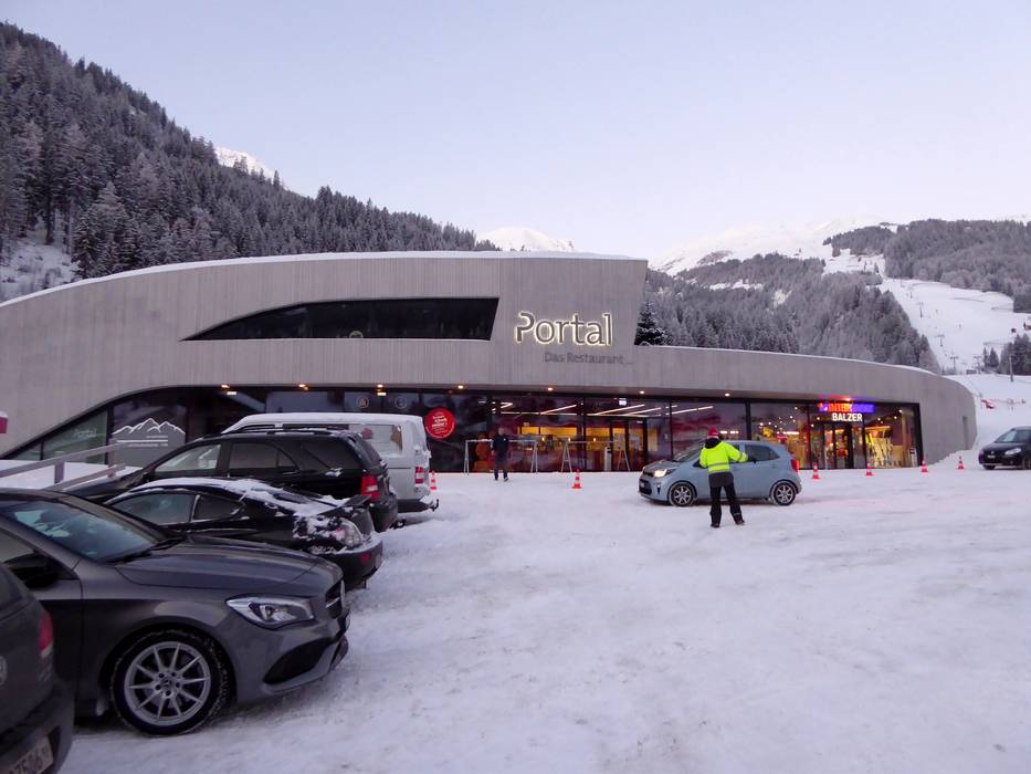
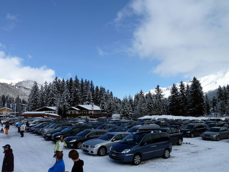
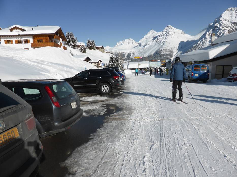
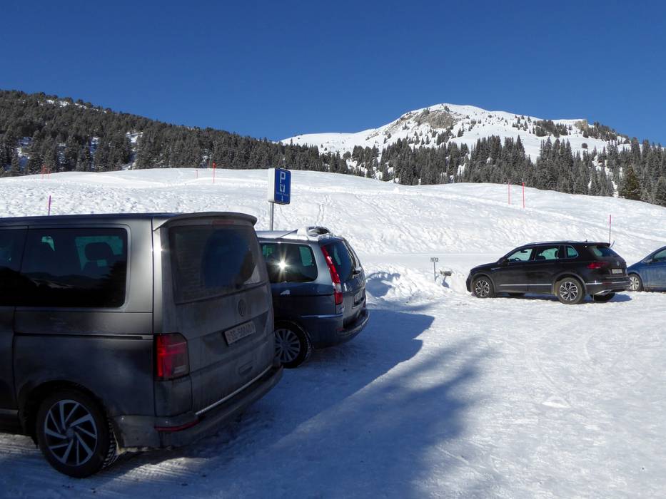
- Ideal entry for day visitors
- View on Google Maps
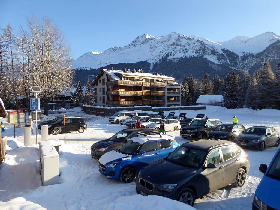
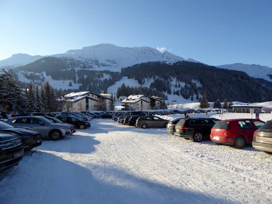
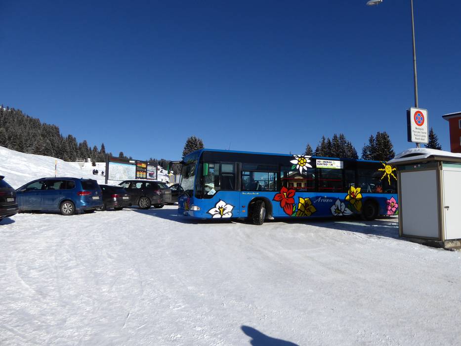
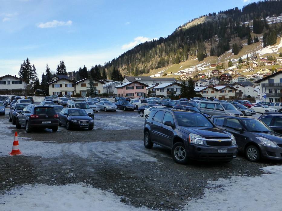
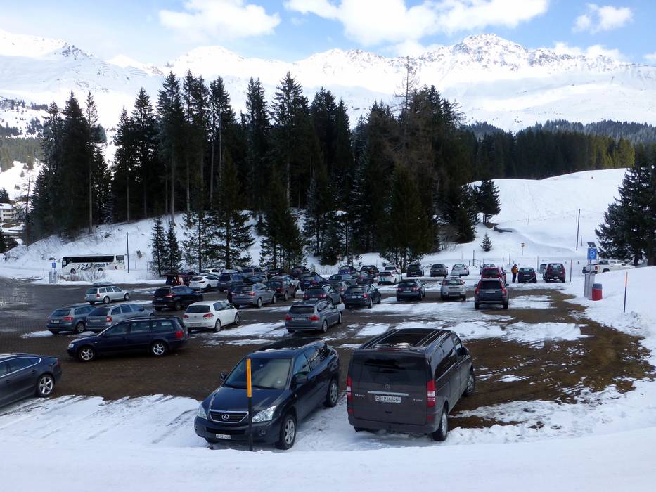
- enough available, tarmac car park, gravel car park
- for a fee
- Main street, Side road, Mountain road, well-developed
- Snow chains sometimes required by snowfall
- Road closure due to avalanches sometimes possible
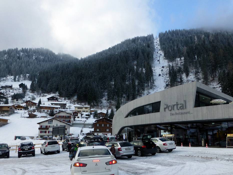
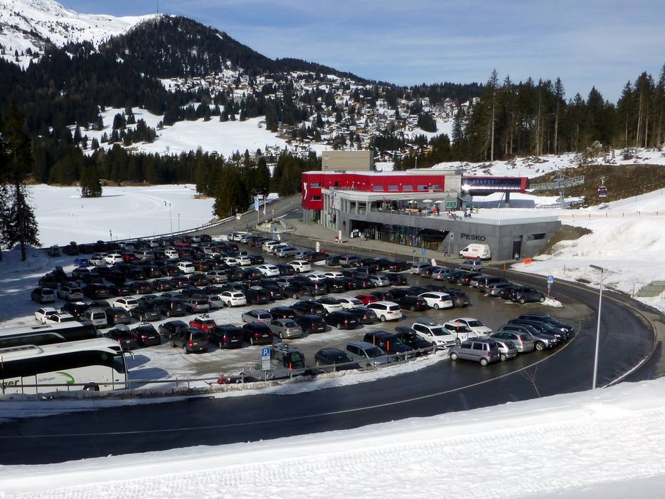
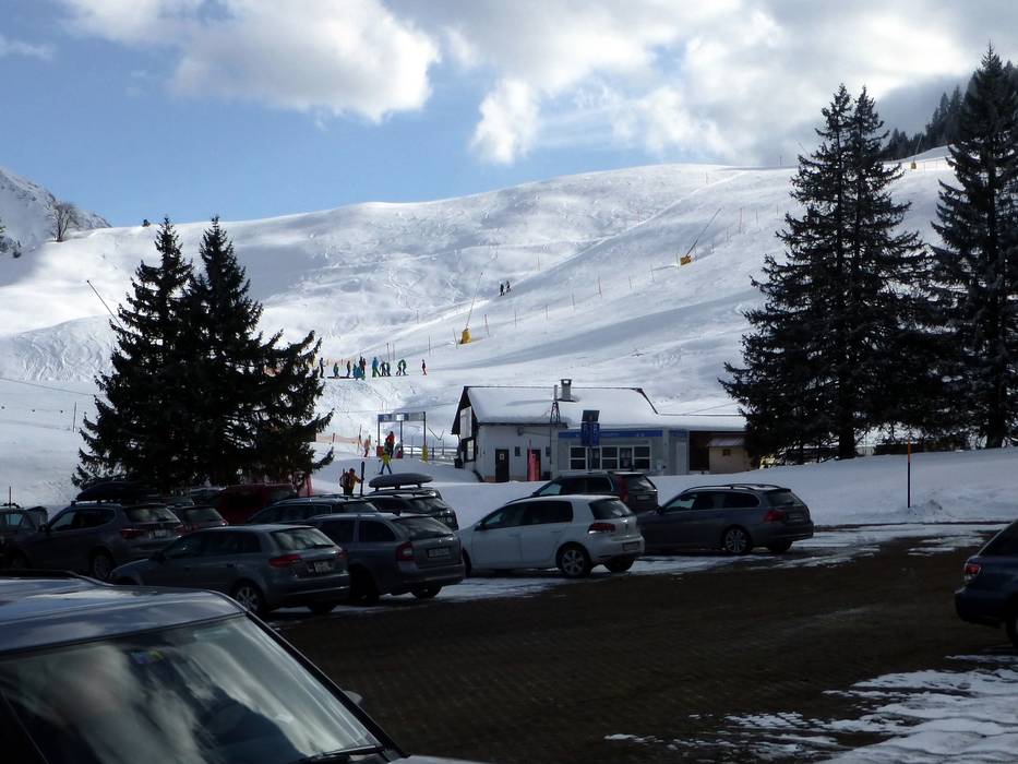
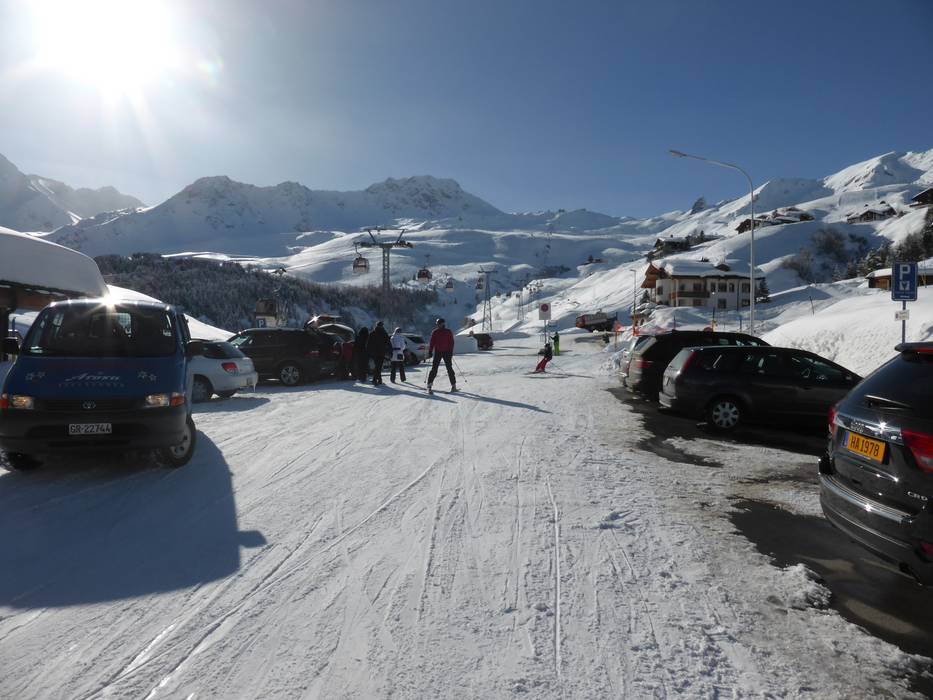
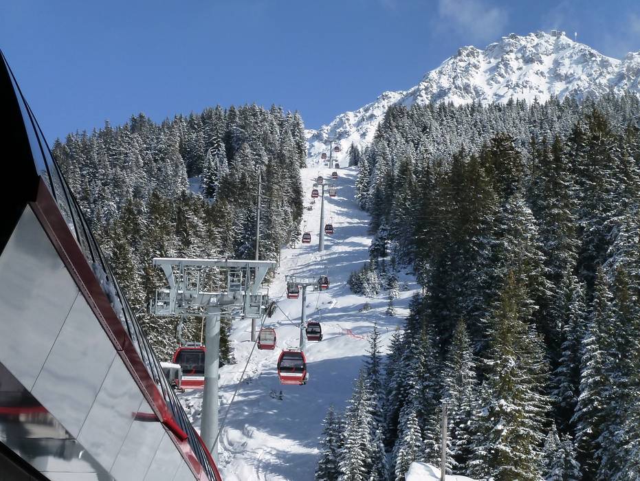
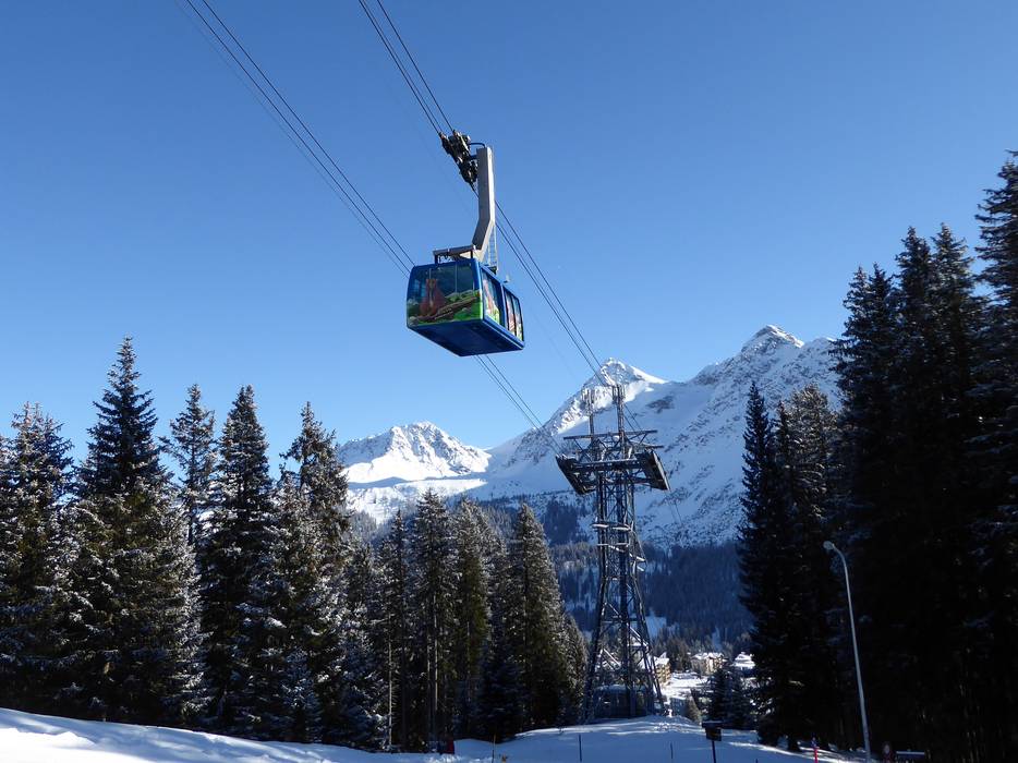
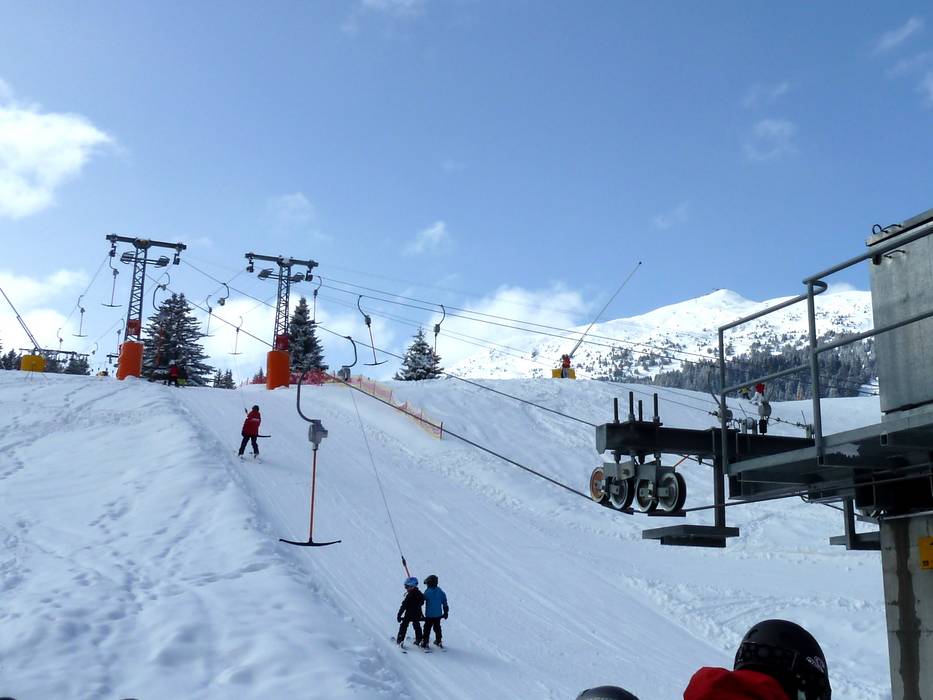
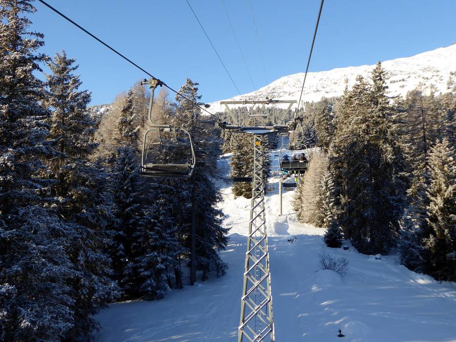
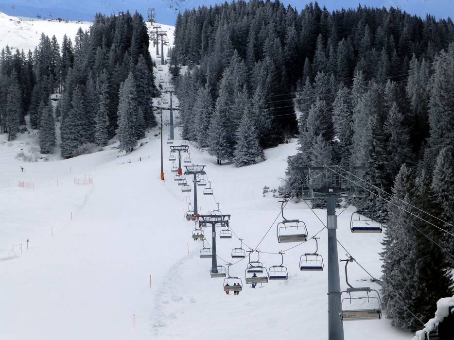
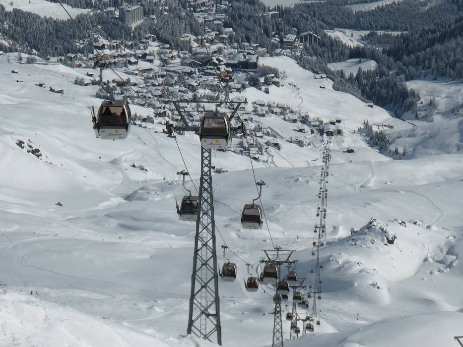
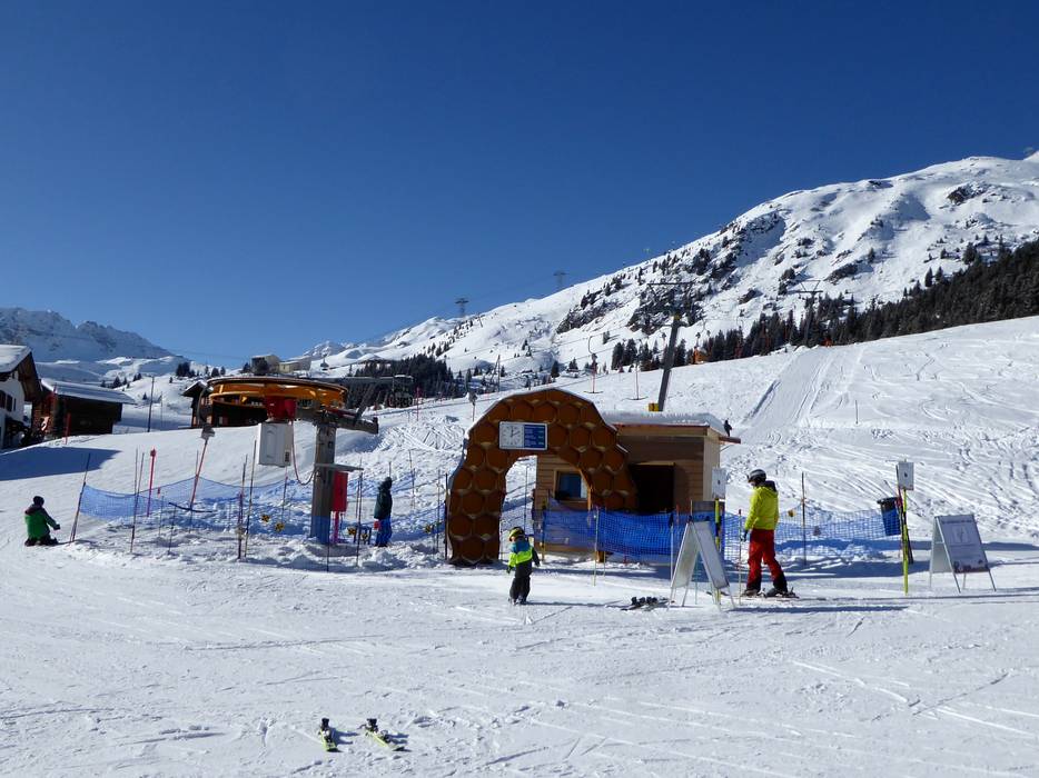
 Access to ski resort
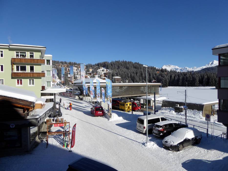
  Town/village close to ski resort
  Traffic Junction