Ski resorts Switzerland


Route planner Schilthorn – Mürren/Lauterbrunnen
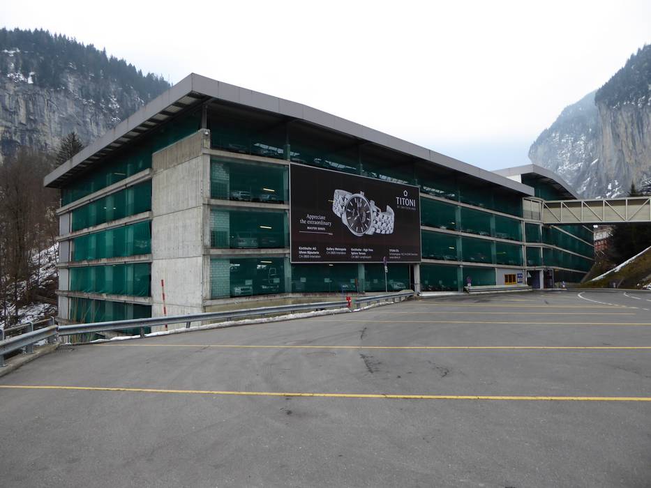
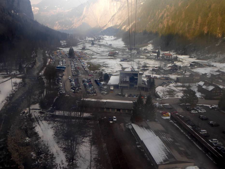
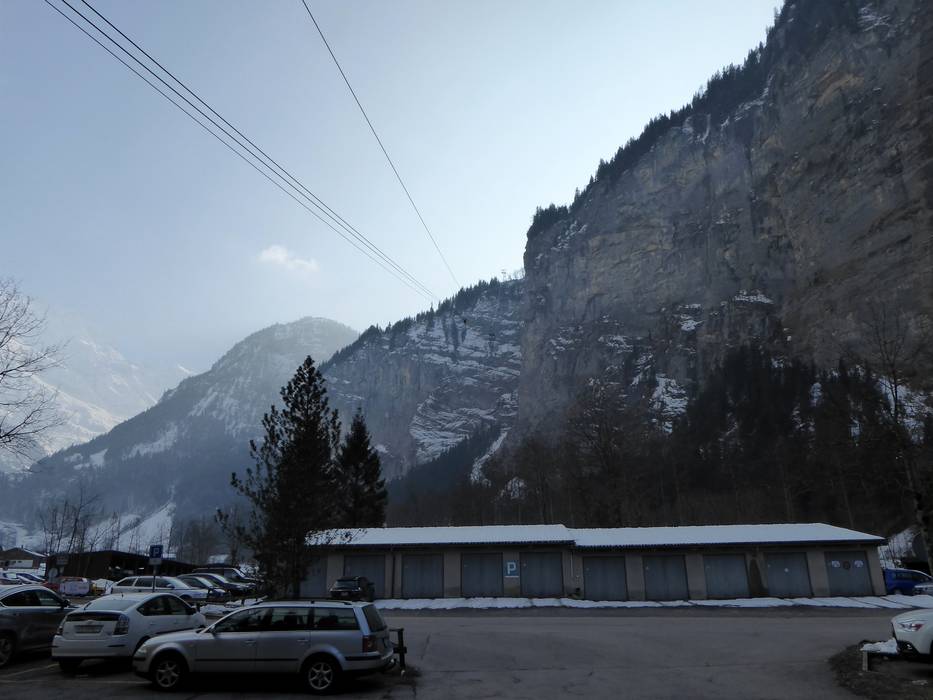
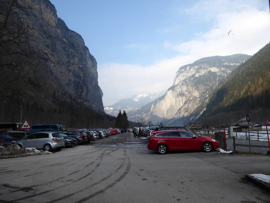
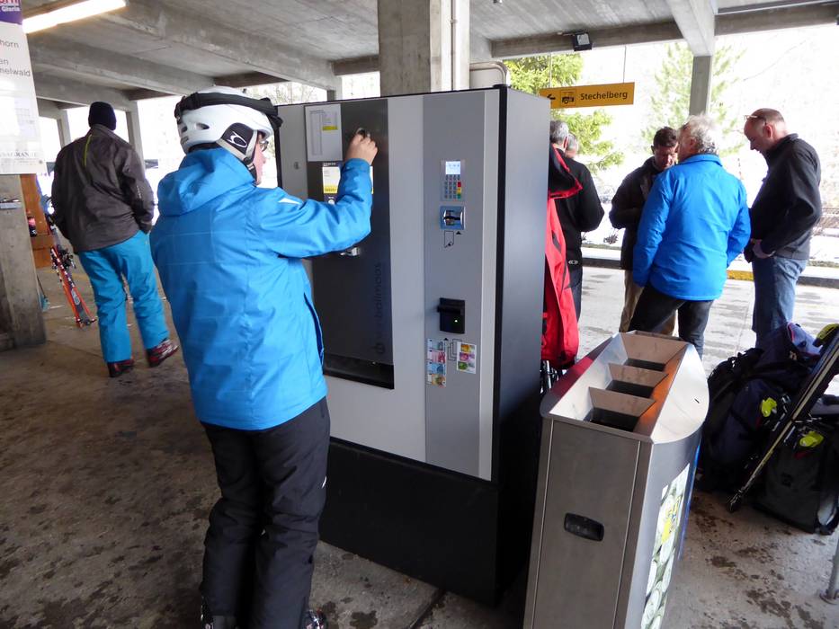
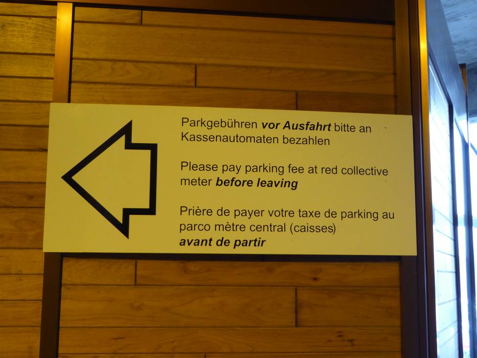
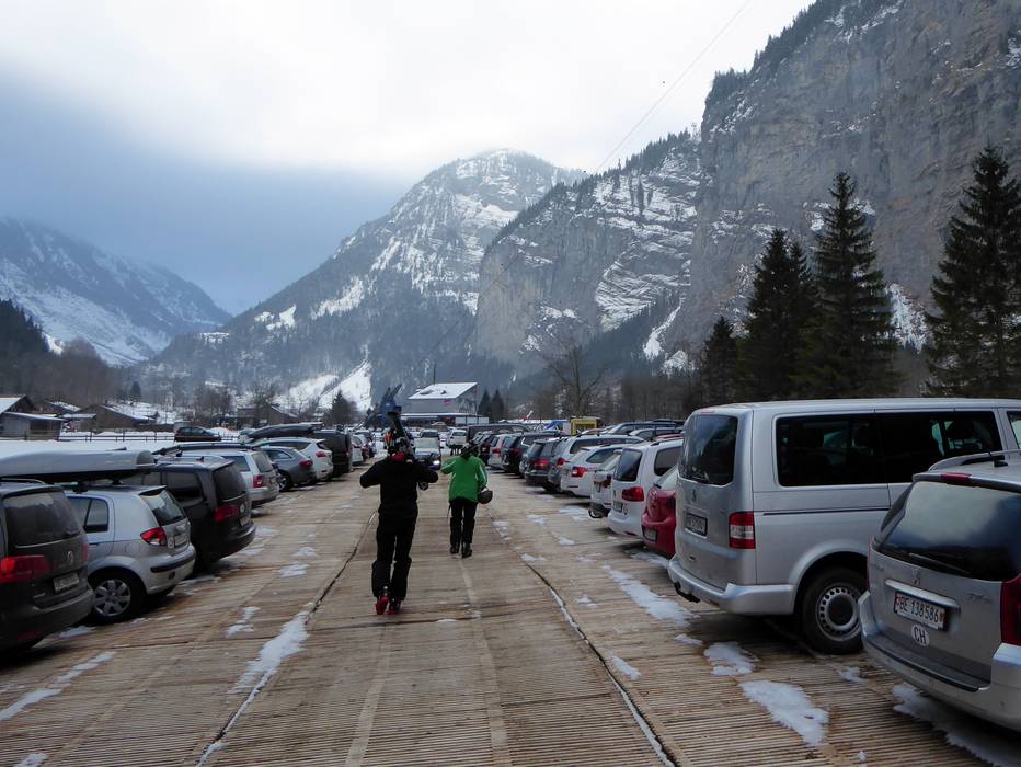
Access Schilthorn – Mürren/Lauterbrunnen & on-site parking
The Schilthorn is located in the Jungfrau region in the Bernese Oberland near Interlaken. From the A8 Autobahn, Wilderswil/Interlaken exit, a well-built road leads to Lauterbrunnen and Stechelberg. It takes about 20 minutes to reach the main entry point of the ski resort in Stechelberg. There are over 1500 parking spaces in Stechelberg (fee charged). Cable car lifts bring guests in four sections over the car-free village of Mürren up to the peak of the Schilthorn. The ride takes about 30 minutes when there is no wait. Alternatively, you can use the entry point in Lauterbrunnen. A cable car lift leads to Grütschalp and then a narrow gauge railway takes your further to the Winteregg chairlift up to the ski resort. A valley run with snow-making capabilities leads to Lauterbrunnen. There is no valley run to Stechelberg.Mobility on-site
- Ski buses
- Scheduled buses
- Post buses and ski buses circulate in Lauterbrunnen and Stechelberg.
Access via A8 Spiez-Interlaken, Exit Wilderswil
10 km Distance - approx. 12 Minutes driving time
Destination - Bahnhofsplatz, 3822 Lauterbrunnen, Switzerland
- Entry suitable for day visitors
- View on Google Maps
- usually enough available, covered car park, tarmac car park, gravel car park
- for a fee
- Side road, well-developed, without significant incline
- Snow chains almost never required by snowfall
- Road closure due to avalanches extremely unlikely

16 km Distance - approx. 20 Minutes driving time
Destination - Lengwald 300B, 3824 Lauterbrunnen-Stechelberg, Switzerland
- Ideal entry for day visitors
- View on Google Maps
- enough available, tarmac car park, gravel car park
- for a fee
- Side road, well-developed, without significant incline
- Snow chains almost never required by snowfall
- Road closure due to avalanches extremely unlikely

 Access to ski resort
  Town/village close to ski resort
  Traffic Junction
 All information is supplied without guarantee
The maps are provided by Google with the following information: „These directions are for planning purposes only. You may find that construction projects, traffic, weather, or other events may cause conditions to differ from the map results, and you should plan your route accordingly. You must obey all signs or notices regarding your route.“
Feedback for the Skiresort.info Team? Please use this form »
Book this ski resort

Tips for the ski holiday


