Ski resorts Sweden
Orientation (Trail map, information boards, sign-postings) Lindvallen/Högfjället (Sälen)
Evaluated by Skiresort.info, the world's largest test portal for ski resorts.
The evaluation is done as follows
Orientation and safety in the ski resort Lindvallen/Högfjället (Sälen)
Trail map and overview maps
The piste map provides a clear overview of the four Skistar Sälen ski areas. It shows all lifts, slopes and restaurants. However, it is very difficult to identify links between different areas. Lindvallen and Högfjället are connected by ski lifts. The only access to Tandådalen and Hundfjället is by bus or car. The back of the piste map shows information on other activities and the bus timetable.
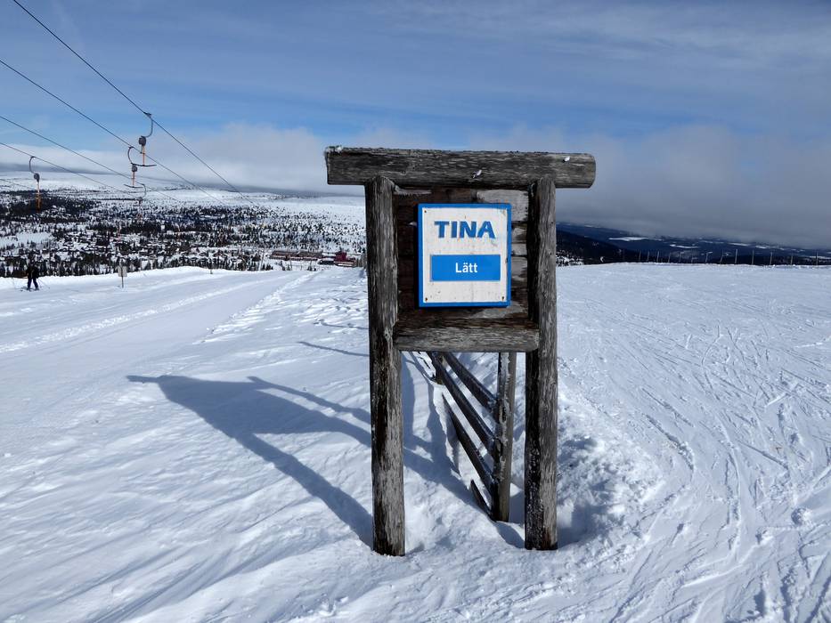
Information boards and sign-postings on the slopes
All the slopes in the ski resort of Lindvallen/Högfjället are signposted. Piste maps are provided in some places. Unfortunately, there is no updated information about open slopes and lifts. This means there is no possibility of checking the current status of slopes and lifts in the ski area.
Trail map
")
Lindvallen (Sälen) Season 2023/2024
")
Högfjellet (Sälen) Season 2023/2024


Feedback for the Skiresort.info Team? Please use this form »
Select specific criteria
Top evaluation criteria
Further evaluation criteria
Orientation (trail map, information boards, sign-postings)
Evaluation criteria for special interests
Feedback for the Skiresort.info Team? Please use this form »
Book this ski resort
Test Reports

/Malga Calice (Kalcheralm)")
Tips for the ski holiday

