Ski resorts France


Orientation (Trail map, information boards, sign-postings) Les Sybelles – Le Corbier/La Toussuire/Les Bottières/St Colomban des Villards/St Sorlin/St Jean d’Arves

Evaluated by Skiresort.info, the world's largest test portal for ski resorts.
The evaluation is done as follows
Orientation and safety in the ski resort Les Sybelles – Le Corbier/La Toussuire/Les Bottières/St Colomban des Villards/St Sorlin/St Jean d’Arves
Trail map and overview maps
Despite the immense size of the resort, the trail map depicts the topography accurately, is easy to read and is in two languages (English/French). It is a bit arduous that the names of the lifts can only be found by using reference numbers in the legend. More details about the restaurants would also be appreciated because if you are looking for a restaurant by name, you can't find it on the trail map.
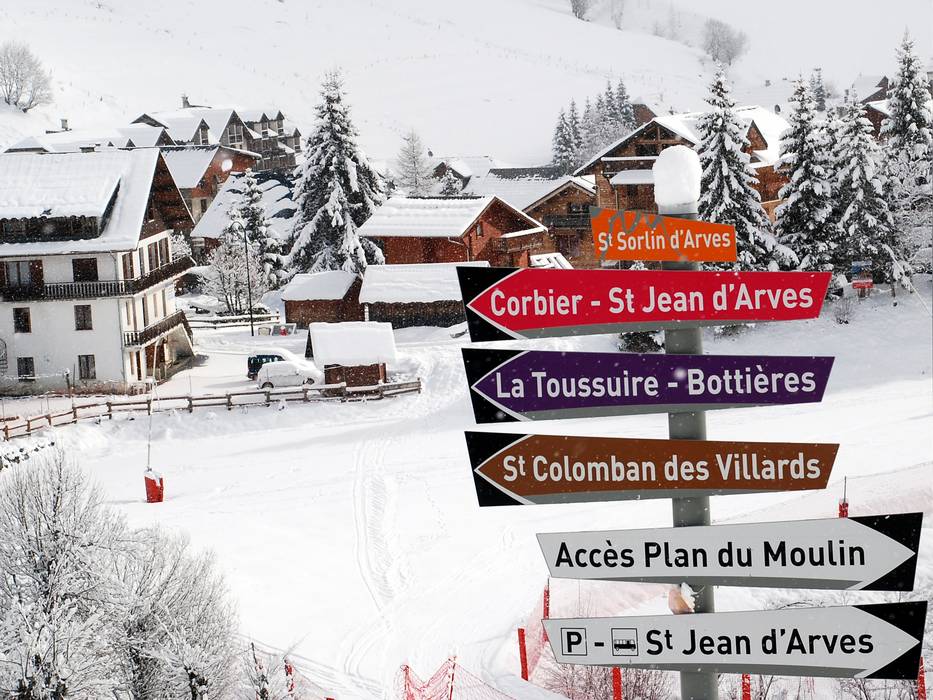
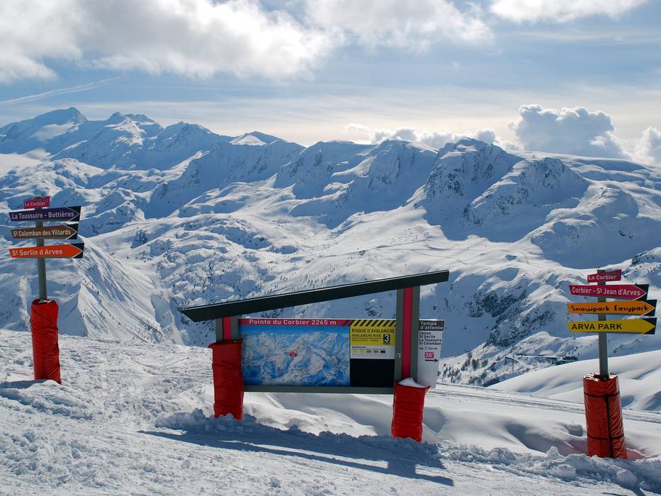
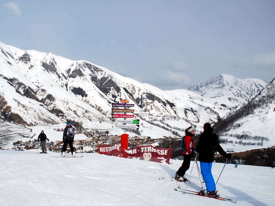
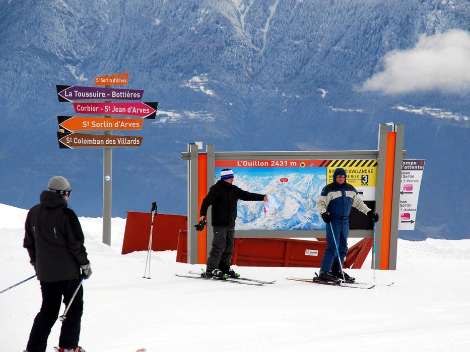
Information boards and sign-postings on the slopes
The sign-posting in the ski resort is very good and uniform to a large extent. There are many directional signs and the markers along the slopes also indicate the difficulty level, the slope names and feature descending numbers, which help you to estimate the remaining distance. Details about open slopes and lifts are found at the lift stations for the respective zone. Large info boards at significant points in the resort offer real-time information about weather and snow conditions as well as events.
Trail map

Les Sybelles Season 2023/2024


Feedback for the Skiresort.info Team? Please use this form »
Select specific criteria
Top evaluation criteria
Further evaluation criteria
Orientation (trail map, information boards, sign-postings)
Evaluation criteria for special interests
Feedback for the Skiresort.info Team? Please use this form »
Book this ski resort
Test Reports


Tips for the ski holiday

